
| Distance / Altitude | Location | Report Date / Time | Live Weather | Wind | Gusts | Temp. | Visibility | Cloud |
|---|---|---|---|---|---|---|---|---|
| 66 km NNE / 161 m | Cold Bay Airport (Alaska) | 2026-05-02 04:53 local (2026/05/02 12:53 GMT) | Clear | moderate winds from the SE (22 km/h at 140) | 2°C | 16 | ||
| 69 km SSE / - m | SHIP1724 (ocean) | 2026-05-02 04:00 local (2026/05/02 12:00 GMT) | Distant precipitation but not falling at station | extremely windy from the NNE (109 km/h at 20) | — | <100m | few | |
| 72 km NE / 3 m | BUOY-KGCA2 (Marine) | 2026-05-02 05:48 local (2026/05/02 13:48 GMT) | moderate winds from the S (21 km/h at 180) | — | - | |||
| 79 km NE / 47 m | King Cove Airport (Alabama) (Alaska) | 2026-05-02 05:38 local (2026/05/02 13:38 GMT) | Light rain | light winds from the N (11 km/h at 1) | 4°C | 16 | broken broken broken | |
| 175 km SW / 3 m | BUOY-AKXA2 (Marine) | 2026-05-02 06:02 local (2026/05/02 14:02 GMT) | light winds from the SW (17 km/h at 230) | 4°C | - | |||
| 89 km SSE / 15 m | SHIP6677 (Marine) | 2026-05-02 05:00 local (2026/05/02 13:00 GMT) | - (- km/h at -) | — | - km | |||
| 89 km SSE / 15 m | SHIP2188 (Marine) | 2026-05-02 05:00 local (2026/05/02 13:00 GMT) | - (- km/h at -) | — | - km | |||
| 175 km SW / 3 m | BUOY-AKXA2 (Marine) | 2026-05-02 06:02 local (2026/05/02 14:02 GMT) | light winds from the SW (17 km/h at 230) | 4°C | - | |||
| 190 km ENE / 216 m | Sand Point Airport (Alaska) | 2026-05-02 04:56 local (2026/05/02 12:56 GMT) | Light rain | moderate winds from the S (26 km/h at 190) | 4°C | 16 | scattered broken broken | |
| 191 km ENE / 3 m | BUOY-SNDA2 (Marine) | 2026-05-02 05:48 local (2026/05/02 13:48 GMT) | light winds from the S (13 km/h at 190) | — | - |
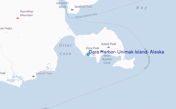
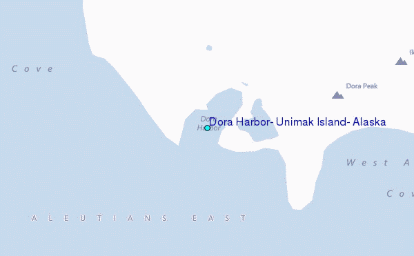
Choose Dora Harbor, Unimak Island, Alaska Location Map Zoom:
| Contours: | Roads & Rivers: | Select a
tide station / surf break / city |
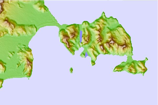
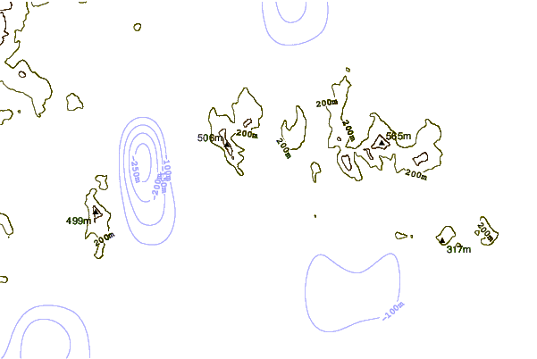
Use this relief map to navigate to tide stations, surf breaks and cities that are in the area of Dora Harbor, Unimak Island, Alaska.
Other Nearby Locations' tide tables and tide charts to Dora Harbor, Unimak Island, Alaska:
click location name for more details
 Surf breaks close to Dora Harbor, Unimak Island, Alaska:
|
||
|---|---|---|
| Closest surf break | Fossil Beach Kodiak | 461 mi |
| Second closest surf break | Monashka Bay | 468 mi |
| Third closest surf break | Termination Point | 470 mi |
| Fourth closest surf break | Mill Bay | 470 mi |
| Fifth closest surf break | Bird Point (Tidal Bore) | 603 mi |


 Nearest
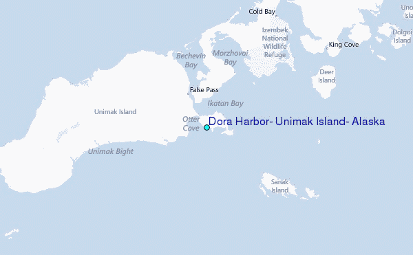