
| Distance / Altitude | Location | Report Date / Time | Live Weather | Wind | Gusts | Temp. | Visibility | Cloud |
|---|---|---|---|---|---|---|---|---|
| 12 km SSW / 16 m | Ronaldsway (United Kingdom) | 2026-03-03 01:00 local (2026/03/03 01:00 GMT) | - | light winds from the NW (7 km/h at 310) | 7°C | 32 km | clear | |
| 13 km SSW / 218 m | Isle Of Man/Ronaldsway Airport (United Kingdom) | 2026-03-02 23:50 local (2026/03/02 23:50 GMT) | - | light winds from the NW (13 km/h at 320) | — | 0.0 | ||
| 28 km S / 3 m | SHIP2234 (Marine) | 2026-03-03 00:00 local (2026/03/03 00:00 GMT) | - (- km/h at -) | 8°C | - | |||
| 28 km S / 15 m | SHIP6462 (Marine) | 2026-03-03 00:00 local (2026/03/03 00:00 GMT) | - (- km/h at -) | — | - km | |||
| 28 km S / 3 m | SHIP1804 (Marine) | 2026-03-03 00:00 local (2026/03/03 00:00 GMT) | - (- km/h at -) | 8°C | - | |||
| 28 km S / 3 m | SHIP5132 (Marine) | 2026-03-03 00:00 local (2026/03/03 00:00 GMT) | - (- km/h at -) | 8°C | - | |||
| 28 km S / 15 m | SHIP2734 (Marine) | 2026-03-03 00:00 local (2026/03/03 00:00 GMT) | - (- km/h at -) | — | - km | |||
| 28 km S / 15 m | SHIP4417 (Marine) | 2026-03-03 00:00 local (2026/03/03 00:00 GMT) | - (- km/h at -) | — | - km | |||
| 37 km SE / 3 m | SHIP1723 (Marine) | 2026-03-02 23:00 local (2026/03/02 23:00 GMT) | - (- km/h at -) | 9°C | - | |||
| 37 km SE / 3 m | SHIP490 (Marine) | 2026-03-02 23:00 local (2026/03/02 23:00 GMT) | - (- km/h at -) | 9°C | - |
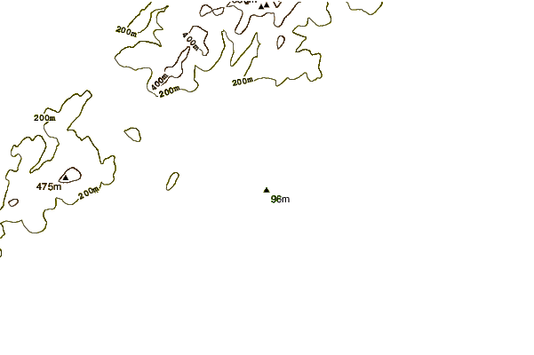
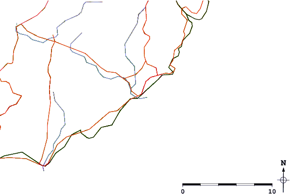
| Contours: | Roads & Rivers: | Select a
tide station / surf break / city |
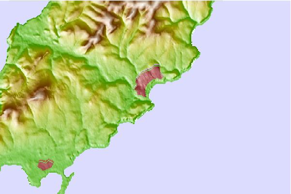
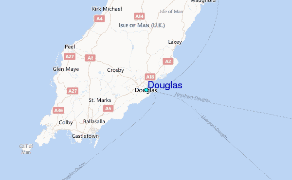
Use this relief map to navigate to tide stations, surf breaks and cities that are in the area of Douglas.
Other Nearby Locations' tide tables and tide charts to Douglas:
click location name for more details
 Surf breaks close to Douglas:
|
||
|---|---|---|
| Closest surf break | Castletown | 9 mi |
| Second closest surf break | Peel | 10 mi |
| Third closest surf break | Gansey | 11 mi |
| Fourth closest surf break | Port St Mary Point | 12 mi |
| Fifth closest surf break | Church Bay | 54 mi |


 Nearest
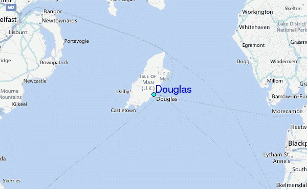