
| Distance / Altitude | Location | Report Date / Time | Live Weather | Wind | Gusts | Temp. | Visibility | Cloud |
|---|---|---|---|---|---|---|---|---|
| 20 km NE / 218 m | Brunswick Airport (Georgia) | 2026-06-02 01:35 local (2026/06/02 05:35 GMT) | - | light winds from the SW (7 km/h at 220) | 25°C | 16 | few | |
| 26 km S / 3 m | BUOY-KBMG1 (Marine) | 2026-06-02 01:30 local (2026/06/02 05:30 GMT) | - (- km/h at -) | 26°C | - | |||
| 27 km NNE / 217 m | Brunswick Golden Isles Airport (Georgia) | 2026-06-02 01:35 local (2026/06/02 05:35 GMT) | Dry and partly cloudy | light winds from the SW (6 km/h at 230) | 22°C | 16 | scattered | |
| 38 km S / 3 m | BUOY-FRDF1 (Marine) | 2026-06-02 01:48 local (2026/06/02 05:48 GMT) | calm (5 km/h at 160) | — | - | |||
| 41 km SE / 3 m | Offshore Fernandina Beach- FL (Marine) | 2026-06-02 01:56 local (2026/06/02 05:56 GMT) | - (- km/h at -) | — | - | |||
| 45 km S / 5 m | Fernandina Beach Airport (Florida) (Florida) | 2026-06-02 01:35 local (2026/06/02 05:35 GMT) | Clear | light winds from the SSW (13 km/h at 200) | 25°C | 16 | ||
| 45 km S / 9 m | Fernandina Beach (Florida) | 2026-06-02 01:05 local (2026/06/02 05:05 GMT) | dry | calm (0 km/h at 71) | 23°C | - | - - 0 | |
| 50 km NNE / 3 m | BUOY-SAXG1 (Marine) | 2026-06-02 01:00 local (2026/06/02 05:00 GMT) | - (0 km/h at -) | 24°C | - | |||
| 58 km S / 10 m | Dunn Creek wx (United States) | 2026-06-02 01:18 local (2026/06/02 05:18 GMT) | dry | calm (0 km/h at 105) | 24°C | - | - - 0 | |
| 59 km S / 218 m | Jacksonville Airport (Florida) | 2026-06-02 00:56 local (2026/06/02 04:56 GMT) | Dry and partly cloudy | calm (0 km/h at 0) | 24°C | 16 | broken |
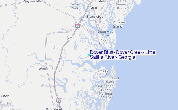
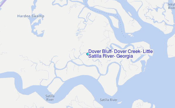
Choose Dover Bluff, Dover Creek, Little Satilla River, Georgia Location Map Zoom:
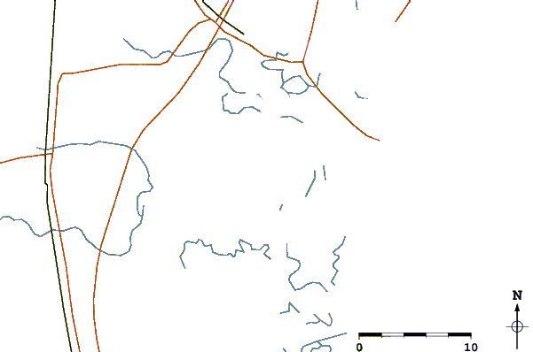
| Contours: | Roads & Rivers: | Select a
tide station / surf break / city |
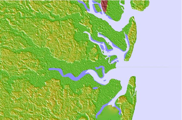
Use this relief map to navigate to tide stations, surf breaks and cities that are in the area of Dover Bluff, Dover Creek, Little Satilla River, Georgia.
Other Nearby Locations' tide tables and tide charts to Dover Bluff, Dover Creek, Little Satilla River, Georgia:
click location name for more details
 Surf breaks close to Dover Bluff, Dover Creek, Little Satilla River, Georgia:
|
||
|---|---|---|
| Closest surf break | Comfort Inn/Jeckyll Island | 7 mi |
| Second closest surf break | 5th and 7th Streets | 9 mi |
| Third closest surf break | Coastguard/St Simons | 12 mi |
| Fourth closest surf break | St Simons Island | 13 mi |
| Fifth closest surf break | Goulds Inlet | 14 mi |


 Nearest
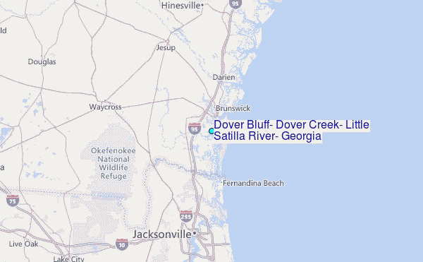