
| Distance / Altitude | Location | Report Date / Time | Live Weather | Wind | Gusts | Temp. | Visibility | Cloud |
|---|---|---|---|---|---|---|---|---|
| 2 km SSW / 3 m | SHIP2951 (Marine) | 2026-05-15 23:00 local (2026/05/15 22:00 GMT) | moderate winds from the E (24 km/h at 80) | 10°C | - | |||
| 3 km NE / 117 m | Langdon Bay (United Kingdom) | 2026-05-16 01:00 local (2026/05/16 00:00 GMT) | no report | moderate winds from the SSW (26 km/h at 200) | 16°C | - | - - - | |
| 13 km SW / 52 m | Folkestone (United Kingdom) | 2026-05-16 01:05 local (2026/05/16 00:05 GMT) | dry | calm (0 km/h at 0) | 13°C | - | - - 0 | |
| 15 km SW / 3 m | Folkestone Waverider (Marine) | 2026-05-16 00:19 local (2026/05/15 23:19 GMT) | - (- km/h at -) | — | - | |||
| 19 km NE / 3 m | Goodwin Sands Waverider (Marine) | 2026-05-16 00:31 local (2026/05/15 23:31 GMT) | - (- km/h at -) | — | - | |||
| 2 km SSW / 15 m | SHIP4225 (Marine) | 2026-05-15 23:00 local (2026/05/15 22:00 GMT) | moderate winds from the E (24.12 km/h at 80) | 10°C | - km | |||
| 2 km SSW / 15 m | SHIP8466 (Marine) | 2026-05-15 23:00 local (2026/05/15 22:00 GMT) | moderate winds from the E (24.12 km/h at 80) | 10°C | - km | |||
| 2 km SSW / 3 m | SHIP728 (Marine) | 2026-05-15 23:00 local (2026/05/15 22:00 GMT) | moderate winds from the E (24 km/h at 80) | 10°C | - | |||
| 2 km SSW / 3 m | SHIP2086 (Marine) | 2026-05-15 23:00 local (2026/05/15 22:00 GMT) | moderate winds from the E (24 km/h at 80) | 10°C | - | |||
| 2 km SSW / 3 m | SHIP5855 (Marine) | 2026-05-15 23:00 local (2026/05/15 22:00 GMT) | moderate winds from the E (24 km/h at 80) | 10°C | - |
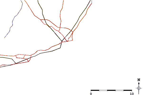
| Contours: | Roads & Rivers: | Select a
tide station / surf break / city |
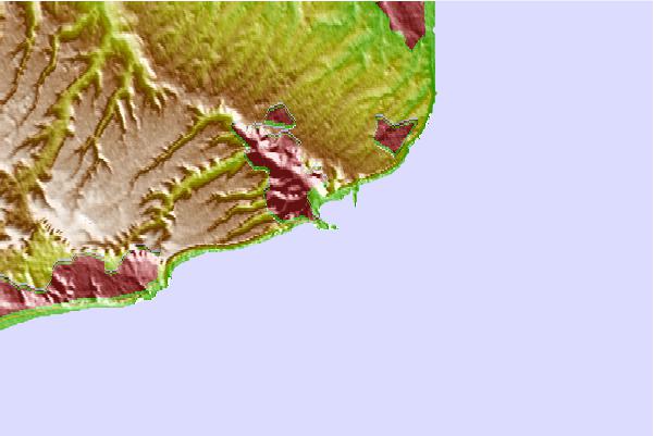
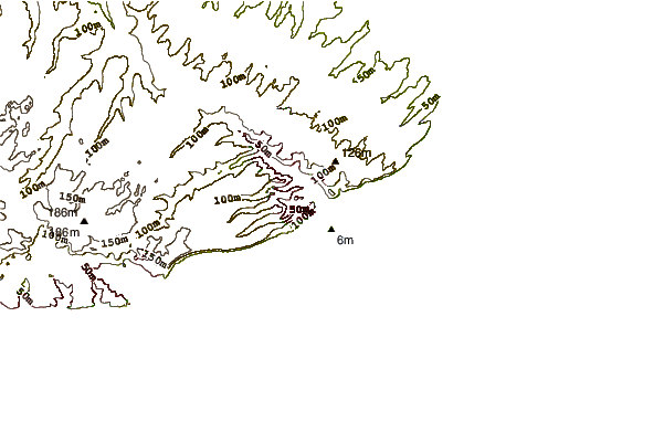
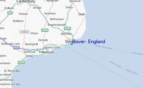
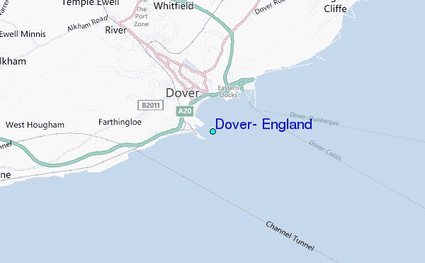
Use this relief map to navigate to tide stations, surf breaks and cities that are in the area of Dover, England.
Other Nearby Locations' tide tables and tide charts to Dover, England:
click location name for more details
 Surf breaks close to Dover, England:
|
||
|---|---|---|
| Closest surf break | Folkestone Wear Bay | 6 mi |
| Second closest surf break | Folkestone | 6 mi |
| Third closest surf break | Ramsgate | 16 mi |
| Fourth closest surf break | Ramsgate (The Wall) | 16 mi |
| Fifth closest surf break | Broadstairs | 17 mi |


 Nearest
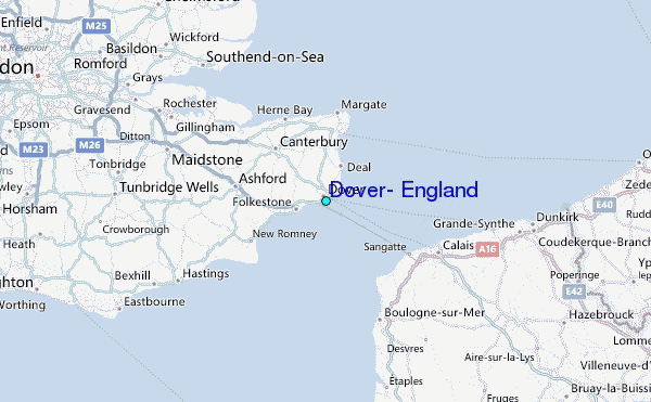