
| Distance / Altitude | Location | Report Date / Time | Live Weather | Wind | Gusts | Temp. | Visibility | Cloud |
|---|---|---|---|---|---|---|---|---|
| 2 km ESE / 12 m | Chebeague Island (Maine) | 2026-04-29 08:34 local (2026/04/29 12:34 GMT) | dry | calm (2 km/h at 89) | 7°C | - | - - 0 | |
| 7 km NW / 28 m | Yarmouth wx (United States) | 2026-04-29 07:51 local (2026/04/29 11:51 GMT) | dry | calm (2 km/h at 148) | 7°C | - | - - 0 | |
| 13 km SW / 13 m | North Deering wx (United States) | 2026-04-29 08:35 local (2026/04/29 12:35 GMT) | dry | calm (2 km/h at 360) | 6°C | - | - - 0 | |
| 13 km N / 55 m | Freeport wx (United States) | 2026-04-29 09:00 local (2026/04/29 13:00 GMT) | dry | calm (0 km/h at 94) | 7°C | - | - - 0 | |
| 14 km SSW / 3 m | BUOY-CASM1 (Marine) | 2026-04-29 08:48 local (2026/04/29 12:48 GMT) | light winds from the E (13 km/h at 80) | — | - | |||
| 15 km SSW / 130 m | Portland (Maine) | 2026-04-29 08:34 local (2026/04/29 12:34 GMT) | dry | wind obs. (6 kph from 53 degs) was rejected (- km/h at -) | 7°C | - | - - 0 | |
| 16 km S / 28 m | South Portland (Maine) | 2026-04-29 08:28 local (2026/04/29 12:28 GMT) | dry | calm (3 km/h at 0) | 6°C | - | - - 0 | |
| 17 km ENE / 9 m | Dyer Cove wx (United States) | 2026-04-29 09:18 local (2026/04/29 13:18 GMT) | dry | calm (0 km/h at 202) | 9°C | - | - - 0 | |
| 17 km SSW / 218 m | Portland Airport (Maine) | 2026-04-29 08:44 local (2026/04/29 12:44 GMT) | Mist - | light winds from the E (9 km/h at 80) | 6°C | 2 | broken overcast | |
| 18 km WSW / 82 m | Highland Lake wx (United States) | 2026-04-29 08:25 local (2026/04/29 12:25 GMT) | dry | calm (0 km/h at 160) | 7°C | - | - - 0 |
| Contours: | Roads & Rivers: | Select a
tide station / surf break / city |
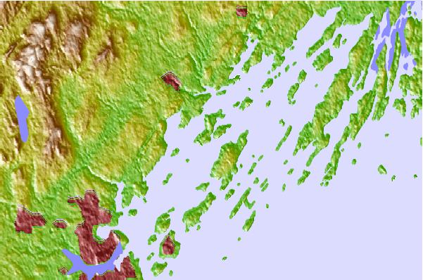
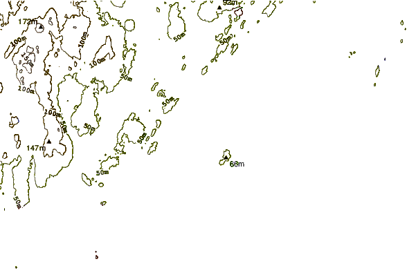
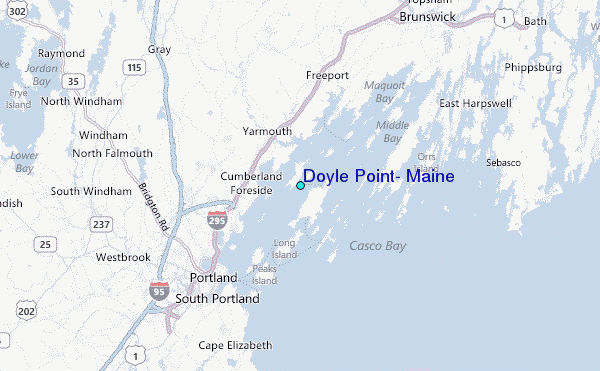
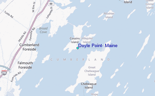
Use this relief map to navigate to tide stations, surf breaks and cities that are in the area of Doyle Point, Maine.
Other Nearby Locations' tide tables and tide charts to Doyle Point, Maine:
click location name for more details
 Surf breaks close to Doyle Point, Maine:
|
||
|---|---|---|
| Closest surf break | Trayhan's | 7 mi |
| Second closest surf break | Doc Browns | 14 mi |
| Third closest surf break | Two Lights | 14 mi |
| Fourth closest surf break | Higgins Beach | 15 mi |
| Fifth closest surf break | Scarborough Beach | 17 mi |


 Nearest
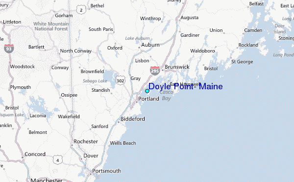