
| Distance / Altitude | Location | Report Date / Time | Live Weather | Wind | Gusts | Temp. | Visibility | Cloud |
|---|---|---|---|---|---|---|---|---|
| 7 km ESE / 3 m | Torness Power Station Waverider (Marine) | 2026-06-25 10:30 local (2026/06/25 09:30 GMT) | - (- km/h at -) | — | - | |||
| 21 km N / 3 m | Firth of Forth WaveNet Site (Marine) | 2026-06-25 10:30 local (2026/06/25 09:30 GMT) | - (- km/h at -) | — | - | |||
| 26 km W / 15 m | SHIP2391 (Marine) | 2026-06-25 10:00 local (2026/06/25 09:00 GMT) | - (- km/h at -) | — | - km | |||
| 46 km NW / 218 m | Leuchars Royal Air Force Airport (United Kingdom) | 2026-06-25 10:20 local (2026/06/25 09:20 GMT) | Fog - in the vicinity | light winds from the E (15 km/h at 80) | — | 1.1 | - - - | |
| 52 km WSW / 219 m | Edinburgh Airport (United Kingdom) | 2026-06-25 10:20 local (2026/06/25 09:20 GMT) | - | light winds from the ENE (15 km/h at 60) | — | 0.0 | ||
| 26 km W / 15 m | SHIP6336 (Marine) | 2026-06-25 10:00 local (2026/06/25 09:00 GMT) | - (- km/h at -) | — | - km | |||
| 26 km W / 3 m | SHIP3299 (Marine) | 2026-06-25 10:00 local (2026/06/25 09:00 GMT) | - (- km/h at -) | — | - | |||
| 26 km W / 3 m | SHIP4888 (Marine) | 2026-06-25 10:00 local (2026/06/25 09:00 GMT) | - (- km/h at -) | — | - | |||
| 26 km W / 3 m | SHIP3920 (Marine) | 2026-06-25 09:00 local (2026/06/25 08:00 GMT) | - (- km/h at -) | — | - | |||
| 26 km W / 3 m | SHIP3088 (Marine) | 2026-06-25 09:00 local (2026/06/25 08:00 GMT) | - (- km/h at -) | — | - |
| Contours: | Roads & Rivers: | Select a
tide station / surf break / city |
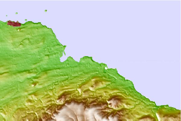
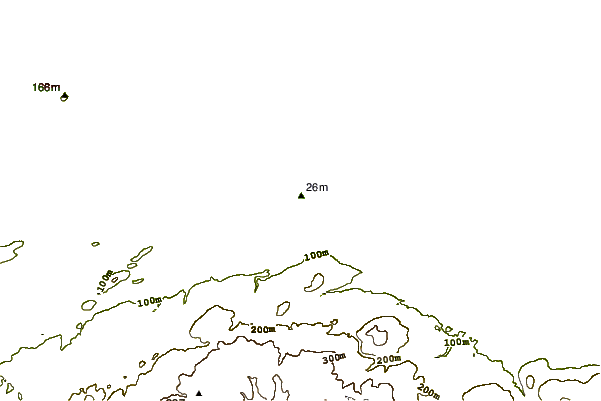
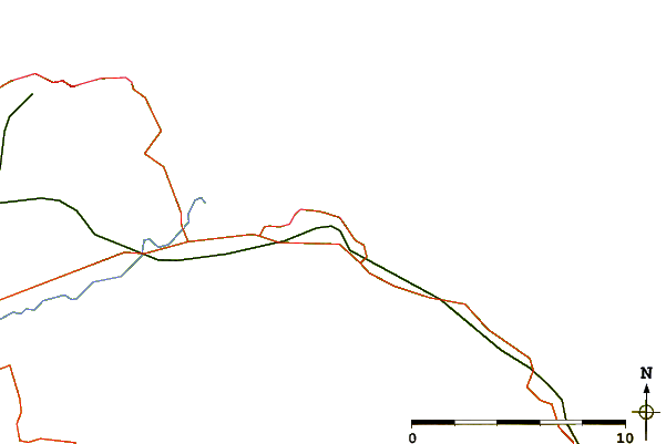
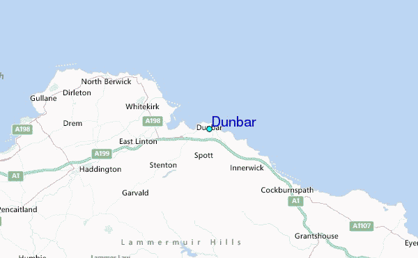
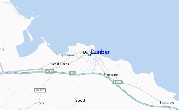
Use this relief map to navigate to tide stations, surf breaks and cities that are in the area of Dunbar.
Other Nearby Locations' tide tables and tide charts to Dunbar:
click location name for more details
 Surf breaks close to Dunbar:
|
||
|---|---|---|
| Closest surf break | Dunbar/Belhaven Bay | 1 mi |
| Second closest surf break | White Sands | 1 mi |
| Third closest surf break | Chapel Point | 3 mi |
| Fourth closest surf break | Peffer Sands | 6 mi |
| Fifth closest surf break | Pease Bay | 9 mi |


 Nearest
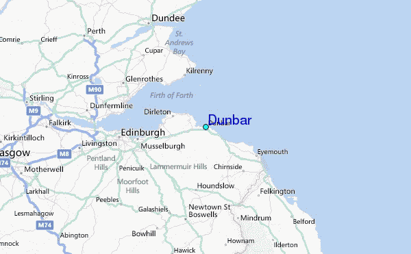