
| Distance / Altitude | Location | Report Date / Time | Live Weather | Wind | Gusts | Temp. | Visibility | Cloud |
|---|---|---|---|---|---|---|---|---|
| 11 km NE / 1 m | Port Chalmers wx (New Zealand) | 2025-12-26 10:09 local (2025/12/25 21:09 GMT) | dry | light winds from the NW (13 km/h at 311) | 14°C | - | - - 0 | |
| 24 km SW / 2 m | DunedinAeroAws (New Zealand) | 2025-12-26 10:00 local (2025/12/25 21:00 GMT) | Clear skies | light winds from the NNE (11 km/h at 20) | 13°C | 20 km | no observation | |
| 25 km WSW / 2 m | Dunedin Airport (New zealand) | 2025-12-26 09:30 local (2025/12/25 20:30 GMT) | - | light winds from the NE (11 km/h at 40) | 13°C | 10.0 | ||
| 82 km SSW / 131 m | Nugget Point Automatic Weather Station (New Zealand) | 2025-12-26 10:00 local (2025/12/25 21:00 GMT) | - | light winds from the NNE (13 km/h at 30) | 12°C | - | - no observation - | |
| 92 km NNE / 62 m | Oamaru (New Zealand) | 2025-12-26 09:48 local (2025/12/25 20:48 GMT) | dry | calm (3 km/h at 70) | 13°C | - | - - 0 | |
| 99 km NW / 581 m | Naseby (New Zealand) | 2025-12-26 10:37 local (2025/12/25 21:37 GMT) | dry | calm (3 km/h at 73) | 13°C | - | - - 0 | |
| 111 km NNE / 30 m | Oamaru Aero Automatic Weather Station (New Zealand) | 2025-12-26 10:00 local (2025/12/25 21:00 GMT) | Clear skies | calm (4 km/h at 300) | 14°C | 20 km | - no observation - | |
| 114 km WNW / 372 m | Lauder (New Zealand) | 2025-12-26 10:00 local (2025/12/25 21:00 GMT) | - | wind obs. (7 kph from 60 degs) was rejected (- km/h at -) | — | - | - | |
| 152 km W / 382 m | Kingston SPHGC (New Zealand) | 2025-12-26 10:00 local (2025/12/25 21:00 GMT) | - | wind obs. (46 kph from 49 degs) was rejected (- km/h at -) | 11°C | - | - - 0 | |
| 158 km NW / 485 m | Tara Hills Automatic Weather Station (New Zealand) | 2025-12-26 10:00 local (2025/12/25 21:00 GMT) | Moderate to heavy rain showers | light winds from the NW (11 km/h at 320) | 10°C | - | - no observation - |
| Contours: | Roads & Rivers: | Select a
tide station / surf break / city |
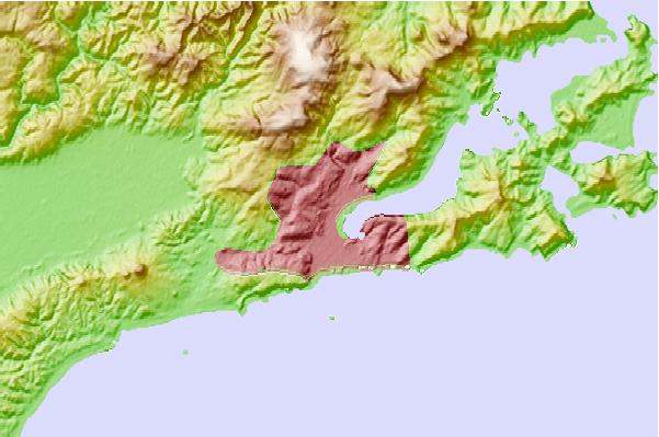
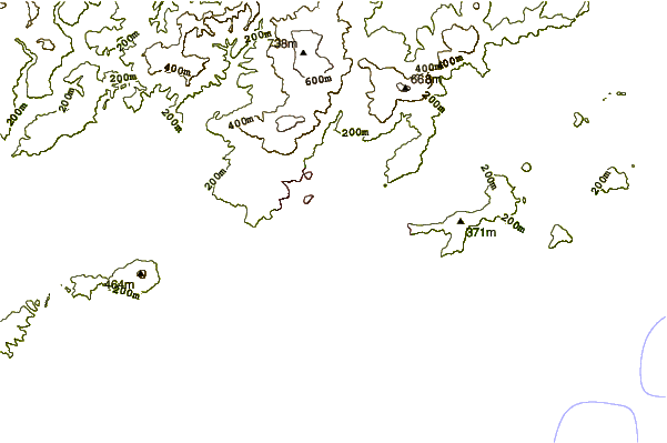
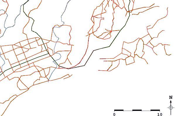
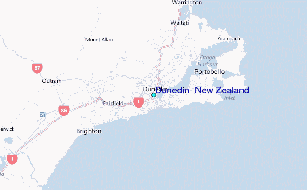
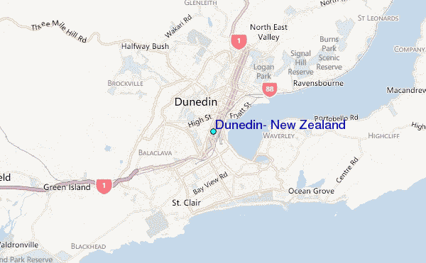
Use this relief map to navigate to tide stations, surf breaks and cities that are in the area of Dunedin, New Zealand.
Other Nearby Locations' tide tables and tide charts to Dunedin, New Zealand:
click location name for more details
 Surf breaks close to Dunedin, New Zealand:
|
||
|---|---|---|
| Closest surf break | Dunedin - Middle Beach (Moana Rua) | 2 mi |
| Second closest surf break | Dunedin - St Clair | 2 mi |
| Third closest surf break | Dunedin - St Kilda Beach | 2 mi |
| Fourth closest surf break | Otago Peninsula - Tomahawk Beach | 3 mi |
| Fifth closest surf break | Otago Peninsula - Smaills Beach | 4 mi |


 Nearest