
| Distance / Altitude | Location | Report Date / Time | Live Weather | Wind | Gusts | Temp. | Visibility | Cloud |
|---|---|---|---|---|---|---|---|---|
| 0 km E / 209 m | Dutch Harbor Airport (Alaska) | 2026-03-31 19:56 local (2026/04/01 03:56 GMT) | Light rain | moderate winds from the ESE (22 km/h at 110) | 2°C | 10 | overcast | |
| 1 km S / 3 m | BUOY-DPXA2 (Marine) | 2026-03-31 21:02 local (2026/04/01 05:02 GMT) | moderate winds from the ESE (24 km/h at 110) | 1°C | - | |||
| 2 km S / 3 m | BUOY-DPLA2 (Marine) | 2026-03-31 21:02 local (2026/04/01 05:02 GMT) | fresh winds from the ESE (33 km/h at 120) | 1°C | - | |||
| 2 km S / 3 m | BUOY-UNLA2 (Marine) | 2026-03-31 20:48 local (2026/04/01 04:48 GMT) | moderate winds from the SE (26 km/h at 140) | — | - | |||
| 7 km S / 3 m | BUOY-CPXA2 (Marine) | 2026-03-31 21:02 local (2026/04/01 05:02 GMT) | light winds from the N (8 km/h at 10) | 1°C | - | |||
| 56 km ENE / 3 m | BUOY-AKXA2 (Marine) | 2026-03-31 21:02 local (2026/04/01 05:02 GMT) | moderate winds from the ESE (28 km/h at 110) | 1°C | - | |||
| 186 km SW / 3 m | BUOY-NKLA2 (Marine) | 2026-03-31 21:02 local (2026/04/01 05:02 GMT) | gales from the E (72 km/h at 80) | 0°C | - | |||
| 279 km NW / 15 m | SHIP2727 (Marine) | 2026-03-31 20:00 local (2026/04/01 04:00 GMT) | strong winds from the E (46.440000000000005 km/h at 90) | 2°C | - km | |||
| 282 km NW / 3 m | SHIP5666 (Marine) | 2026-03-31 20:00 local (2026/04/01 04:00 GMT) | strong winds from the E (46 km/h at 80) | -1°C | - | |||
| 282 km NW / 15 m | SHIP6086 (Marine) | 2026-03-31 20:00 local (2026/04/01 04:00 GMT) | strong winds from the E (46.440000000000005 km/h at 80) | 2°C | - km |
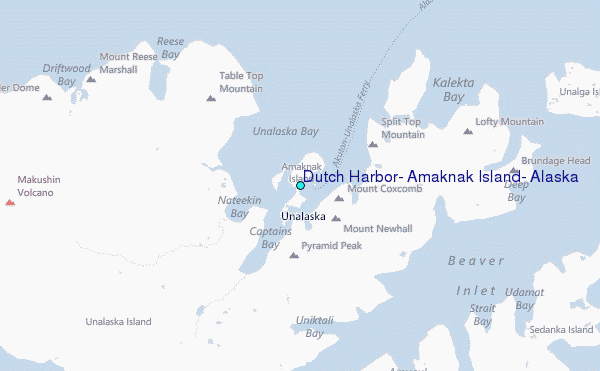
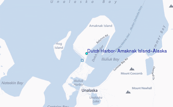
Choose Dutch Harbor, Amaknak Island, Alaska Location Map Zoom:
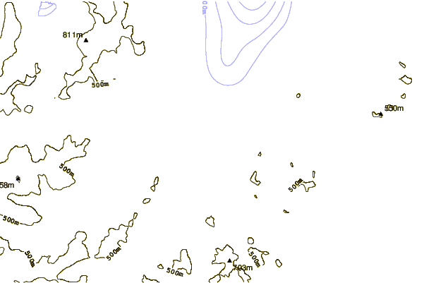
| Contours: | Roads & Rivers: | Select a
tide station / surf break / city |
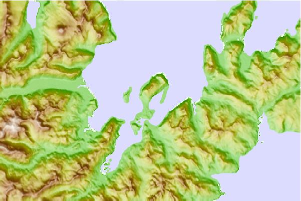
Use this relief map to navigate to tide stations, surf breaks and cities that are in the area of Dutch Harbor, Amaknak Island, Alaska.
Other Nearby Locations' tide tables and tide charts to Dutch Harbor, Amaknak Island, Alaska:
click location name for more details
 Surf breaks close to Dutch Harbor, Amaknak Island, Alaska:
|
||
|---|---|---|
| Closest surf break | Fossil Beach Kodiak | 603 mi |
| Second closest surf break | Monashka Bay | 609 mi |
| Third closest surf break | Termination Point | 611 mi |
| Fourth closest surf break | Mill Bay | 612 mi |
| Fifth closest surf break | Bird Point (Tidal Bore) | 733 mi |


 Nearest
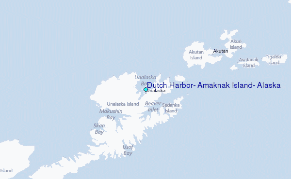