
| Distance / Altitude | Location | Report Date / Time | Live Weather | Wind | Gusts | Temp. | Visibility | Cloud |
|---|---|---|---|---|---|---|---|---|
| 61 km WSW / 23 m | Gurney (Papua New Guinea) | 2025-12-26 19:00 local (2025/12/26 09:00 GMT) | distant precipitation but not falling at station | - (- km/h at -) | 26°C | 30 | - - - | |
| 99 km NE / 15 m | ASCATB151E10S (Marine) | 2025-12-26 20:44 local (2025/12/26 10:44 GMT) | light winds from the NNW (16 km/h at 343) | — | - km | |||
| 107 km S / 15 m | ASCATB151E11S (Marine) | 2025-12-26 20:43 local (2025/12/26 10:43 GMT) | calm (4 km/h at 28) | — | - km | |||
| 110 km NE / 15 m | ASCATB152E10S (Marine) | 2025-12-26 20:44 local (2025/12/26 10:44 GMT) | light winds from the NNW (16 km/h at 343) | — | - km | |||
| 133 km NNE / 15 m | ASCATB152E9S (Marine) | 2025-12-26 20:44 local (2025/12/26 10:44 GMT) | light winds from the NNW (14 km/h at 335) | — | - km | |||
| 139 km SE / 15 m | ASCATB152E11S (Marine) | 2025-12-26 20:43 local (2025/12/26 10:43 GMT) | light winds from the N (17 km/h at 356) | — | - km | |||
| 141 km S / 15 m | ASCATB151E12S (Marine) | 2025-12-26 20:43 local (2025/12/26 10:43 GMT) | calm (5 km/h at 81) | — | - km | |||
| 158 km SSE / 15 m | ASCATB152E12S (Marine) | 2025-12-26 20:43 local (2025/12/26 10:43 GMT) | light winds from the N (18 km/h at 3) | — | - km | |||
| 159 km NW / 15 m | ASCATB151E9S (Marine) | 2025-12-26 20:44 local (2025/12/26 10:44 GMT) | light winds from the W (7 km/h at 275) | — | - km | |||
| 160 km SW / 15 m | ASCATB150E11S (Marine) | 2025-12-26 20:44 local (2025/12/26 10:44 GMT) | light winds from the NNW (9 km/h at 337) | — | - km |
| Contours: | Roads & Rivers: | Select a
tide station / surf break / city |
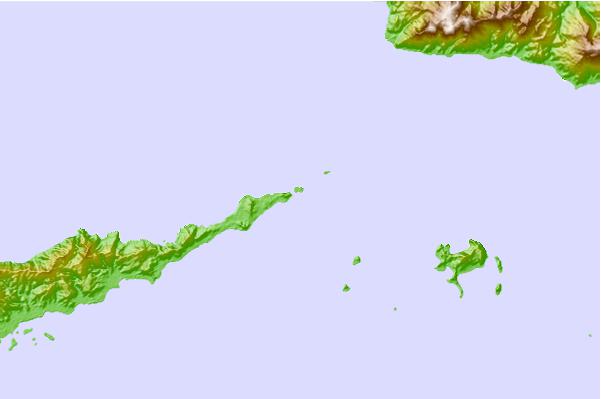
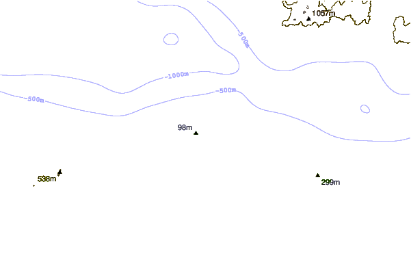
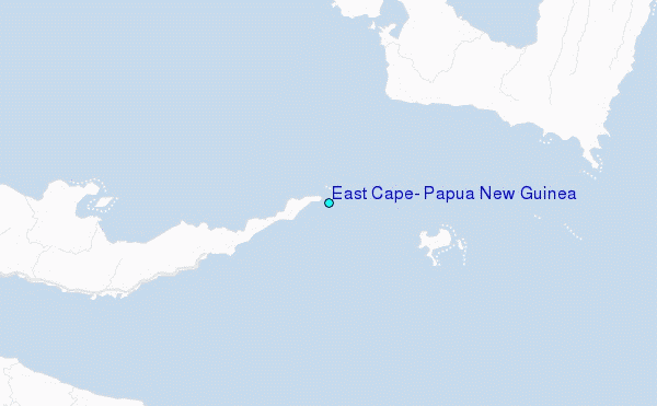
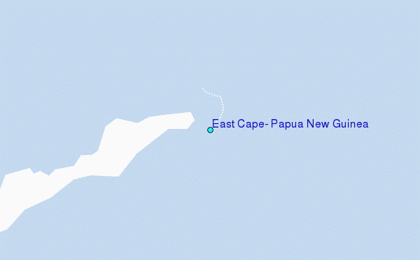
Use this relief map to navigate to tide stations, surf breaks and cities that are in the area of East Cape, Papua New Guinea.
Other Nearby Locations' tide tables and tide charts to East Cape, Papua New Guinea:
click location name for more details
 Surf breaks close to East Cape, Papua New Guinea:
|
||
|---|---|---|
| Closest surf break | Raiven | 415 mi |
| Second closest surf break | Duke of York | 428 mi |
| Third closest surf break | Pailongge | 429 mi |
| Fourth closest surf break | Titiana | 431 mi |
| Fifth closest surf break | Makuti | 439 mi |


 Nearest
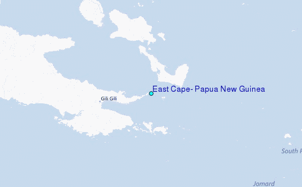