
| Distance / Altitude | Location | Report Date / Time | Live Weather | Wind | Gusts | Temp. | Visibility | Cloud |
|---|---|---|---|---|---|---|---|---|
| 424 km E / - m | SHIP1455 (ocean) | 2026-02-10 12:00 local (2026/02/10 22:00 GMT) | - | fresh winds from the E (32 km/h at 90) | 23°C | - | no observation | |
| 425 km E / 3 m | NW Hawaii Buoy (Marine) | 2026-02-10 14:20 local (2026/02/11 00:20 GMT) | fresh winds from the E (32 km/h at 80) | 23°C | - | |||
| 432 km E / 3 m | NW Hawaii Buoy (Marine) | 2026-02-10 14:10 local (2026/02/11 00:10 GMT) | fresh winds from the E (32 km/h at 90) | 24°C | - | |||
| 424 km E / - m | SHIP301 (ocean) | 2026-02-10 13:00 local (2026/02/10 23:00 GMT) | - | fresh winds from the E (32 km/h at 90) | 23°C | - | no observation | |
| 424 km E / - m | SHIP686 (ocean) | 2026-02-10 13:00 local (2026/02/10 23:00 GMT) | - | fresh winds from the E (32 km/h at 90) | 23°C | - | no observation | |
| 424 km E / - m | SHIP833 (ocean) | 2026-02-10 13:00 local (2026/02/10 23:00 GMT) | - | fresh winds from the E (32 km/h at 90) | 23°C | - | no observation | |
| 424 km E / - m | SHIP1053 (ocean) | 2026-02-10 13:00 local (2026/02/10 23:00 GMT) | - | fresh winds from the E (32 km/h at 90) | 23°C | - | no observation | |
| 424 km E / - m | SHIP67 (ocean) | 2026-02-10 13:00 local (2026/02/10 23:00 GMT) | - | fresh winds from the E (32 km/h at 90) | 23°C | - | no observation | |
| 424 km E / - m | SHIP376 (ocean) | 2026-02-10 13:00 local (2026/02/10 23:00 GMT) | - | fresh winds from the E (32 km/h at 90) | 23°C | - | no observation | |
| 424 km E / - m | SHIP978 (ocean) | 2026-02-10 13:00 local (2026/02/10 23:00 GMT) | - | fresh winds from the E (32 km/h at 90) | 23°C | - | no observation |
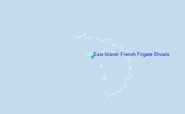
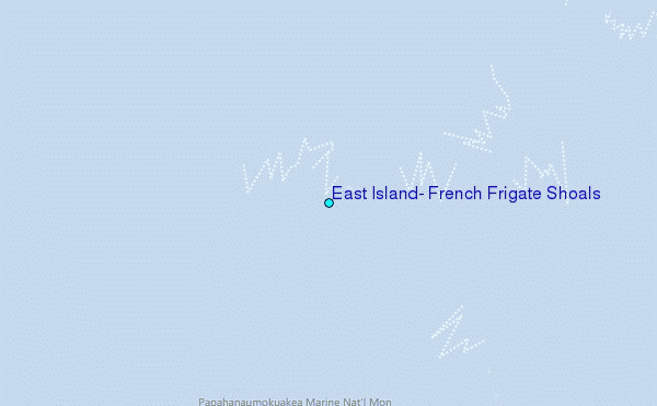
Choose East Island, French Frigate Shoals Location Map Zoom:
| Contours: | Roads & Rivers: | Select a
tide station / surf break / city |
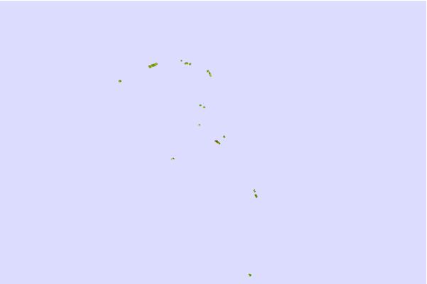
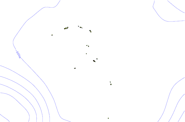
Use this relief map to navigate to tide stations, surf breaks and cities that are in the area of East Island, French Frigate Shoals.
Other Nearby Locations' tide tables and tide charts to East Island, French Frigate Shoals:
click location name for more details
 Surf breaks close to East Island, French Frigate Shoals:
|
||
|---|---|---|
| Closest surf break | Majors Bay | 427 mi |
| Second closest surf break | Polihale | 428 mi |
| Third closest surf break | Davidson Point | 432 mi |
| Fourth closest surf break | Waimea Rivermouth | 436 mi |
| Fifth closest surf break | Cannons | 436 mi |


 Nearest