
| Distance / Altitude | Location | Report Date / Time | Live Weather | Wind | Gusts | Temp. | Visibility | Cloud |
|---|---|---|---|---|---|---|---|---|
| 19 km NW / 218 m | Millville Airport (New Jersey) | 2025-12-25 22:54 local (2025/12/26 03:54 GMT) | Clear | light winds from the NW (7 km/h at 320) | 1°C | 16 | ||
| 22 km SSE / 396 m | Wildwood Airport (New Jersey) | 2025-12-25 22:56 local (2025/12/26 03:56 GMT) | Clear | light winds from the NNW (9 km/h at 340) | 2°C | 16 | ||
| 25 km S / 3 m | BUOY-BRND1 (Marine) | 2025-12-26 00:18 local (2025/12/26 05:18 GMT) | fresh winds from the N (37 km/h at 10) | — | - | |||
| 26 km SSE / 3 m | BUOY-CMAN4 (Marine) | 2025-12-26 00:18 local (2025/12/26 05:18 GMT) | light winds from the NNW (17 km/h at 330) | — | - | |||
| 33 km W / 3 m | BUOY-SJSN4 (Marine) | 2025-12-26 00:18 local (2025/12/26 05:18 GMT) | moderate winds from the N (26 km/h at 350) | — | - | |||
| 38 km SW / 3 m | BUOY-DRSD1 (Marine) | 2025-12-25 23:30 local (2025/12/26 04:30 GMT) | light winds from the N (9 km/h at 360) | 1°C | - | |||
| 40 km SW / 218 m | Dover Air Force Base Airport (Delaware) | 2025-12-25 22:55 local (2025/12/26 03:55 GMT) | Clear | light winds from the N (15 km/h at 350) | 0°C | 16 | ||
| 47 km S / 3 m | BUOY-LWSD1 (Marine) | 2025-12-26 00:18 local (2025/12/26 05:18 GMT) | fresh winds from the N (33 km/h at 10) | — | - | |||
| 48 km NE / 217 m | Atlantic City Airport (New Jersey) | 2025-12-25 22:54 local (2025/12/26 03:54 GMT) | Clear | light winds from the NW (15 km/h at 320) | -1°C | 16 | ||
| 50 km WSW / 17 m | Delaware Airpark Dover-Cheswold (Delaware) (Delaware) | 2025-12-25 23:35 local (2025/12/26 04:35 GMT) | - | light winds from the NE (9 km/h at 50) | 1°C | 16 |
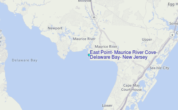
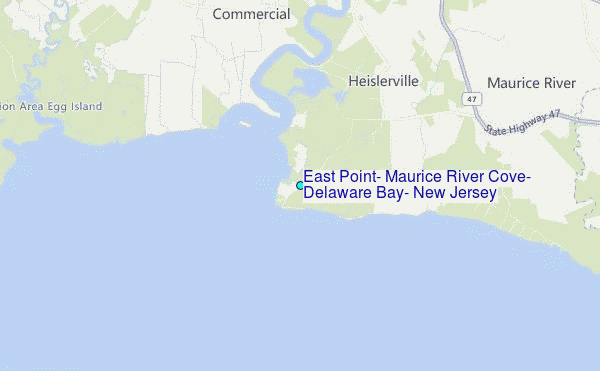
Choose East Point, Maurice River Cove, Delaware Bay, New Jersey Location Map Zoom:
| Contours: | Roads & Rivers: | Select a
tide station / surf break / city |
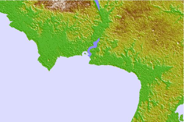

Use this relief map to navigate to tide stations, surf breaks and cities that are in the area of East Point, Maurice River Cove, Delaware Bay, New Jersey.
Other Nearby Locations' tide tables and tide charts to East Point, Maurice River Cove, Delaware Bay, New Jersey:
click location name for more details
 Surf breaks close to East Point, Maurice River Cove, Delaware Bay, New Jersey:
|
||
|---|---|---|
| Closest surf break | 52nd Street | 17 mi |
| Second closest surf break | St Phillip's | 17 mi |
| Third closest surf break | Stone Harbor 110th Street | 17 mi |
| Fourth closest surf break | Avalon 15th Street | 18 mi |
| Fifth closest surf break | Avalon 30th Street | 18 mi |


 Nearest
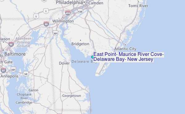