
| Distance / Altitude | Location | Report Date / Time | Live Weather | Wind | Gusts | Temp. | Visibility | Cloud |
|---|---|---|---|---|---|---|---|---|
| 27 km NNE / 216 m | Hamilton Island (Australia) | 2026-06-22 17:30 local (2026/06/22 07:30 GMT) | Dry and partly cloudy | fresh winds from the SE (30 km/h at 130) | 21°C | 10.0 | no cloud overcast broken | |
| 76 km S / 54 m | Eton wx (Australia) | 2026-06-22 18:34 local (2026/06/22 08:34 GMT) | dry | light winds from the SE (10 km/h at 131) | 17°C | - | - - 0 | |
| 101 km SSE / 308 m | Shinfield wx (Australia) | 2026-06-22 18:32 local (2026/06/22 08:32 GMT) | dry | calm (0 km/h at 31) | 18°C | - | - - 0 | |
| 122 km SSE / 123 m | Mount Christian wx (Australia) | 2026-06-22 18:33 local (2026/06/22 08:33 GMT) | dry | calm (0 km/h at 0) | 21°C | - | - - 0 | |
| 184 km W / 14 m | Home Hill (Australia) | 2026-06-22 18:24 local (2026/06/22 08:24 GMT) | dry | calm (0 km/h at 42) | 22°C | - | - - 0 | |
| 262 km W / 29 m | Townsville (Australia) | 2026-06-22 18:02 local (2026/06/22 08:02 GMT) | dry | calm (0 km/h at ) | 7°C | - | - - 0 | |
| 268 km W / 218 m | Townsville Airport (Australia) | 2026-06-22 17:30 local (2026/06/22 07:30 GMT) | Dry and partly cloudy | light winds from the E (17 km/h at 80) | 23°C | 10.0 | no cloud | |
| 349 km SSE / 217 m | Rockhampton Airport (Australia) | 2026-06-22 17:30 local (2026/06/22 07:30 GMT) | - | light winds from the SSE (6 km/h at 160) | 24°C | 10.0 | few | |
| 349 km SSE / 217 m | Rockhampton Airport (Australia) | 2026-06-22 17:30 local (2026/06/22 07:30 GMT) | Dry and partly cloudy | light winds from the SSE (6 km/h at 160) | 24°C | 10.0 | few broken broken | |
| 349 km S / 232 m | Lockmead wx (Australia) | 2026-06-22 17:30 local (2026/06/22 07:30 GMT) | - | calm (3 km/h at 90) | 20°C | - | - - 0 |
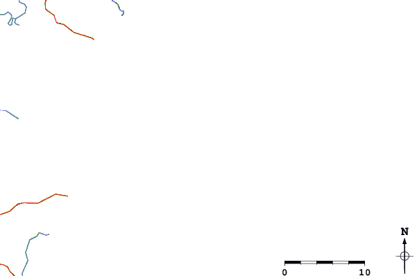
| Contours: | Roads & Rivers: | Select a
tide station / surf break / city |
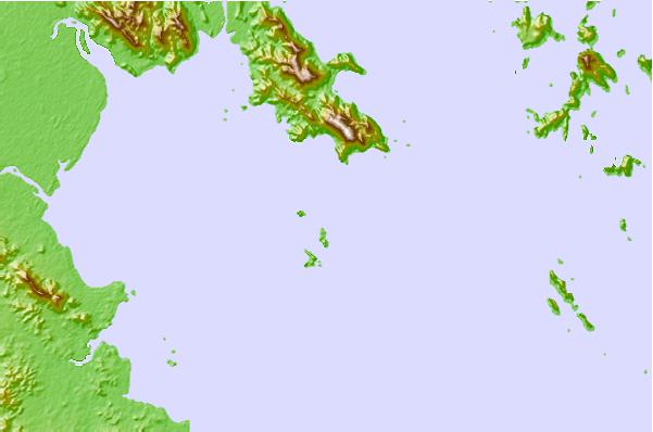
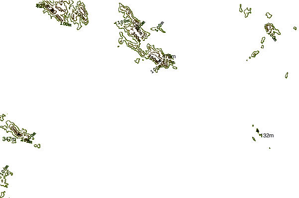
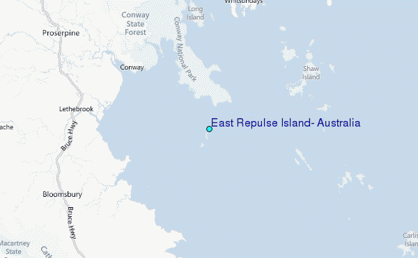
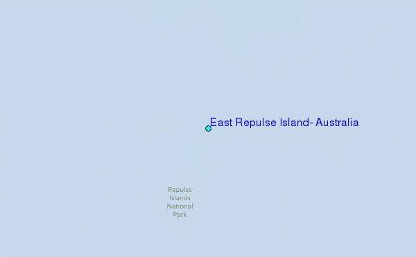
Use this relief map to navigate to tide stations, surf breaks and cities that are in the area of East Repulse Island, Australia.
Other Nearby Locations' tide tables and tide charts to East Repulse Island, Australia:
click location name for more details
 Surf breaks close to East Repulse Island, Australia:
|
||
|---|---|---|
| Closest surf break | Eimeo Point | 36 mi |
| Second closest surf break | Dolphin Heads | 37 mi |
| Third closest surf break | Lamberts Beach | 40 mi |
| Fourth closest surf break | North Wall Mackay Harbour Beach | 42 mi |
| Fifth closest surf break | South Wall Mackay Harbour | 43 mi |


 Nearest
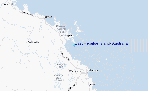