
| Distance / Altitude | Location | Report Date / Time | Live Weather | Wind | Gusts | Temp. | Visibility | Cloud |
|---|---|---|---|---|---|---|---|---|
| 3 km ESE / 46 m | Easter Island (Chile) | 2026-04-01 19:00 local (2026/04/02 00:00 GMT) | State of sky unchanged | light winds from the SE (15 km/h at 140) | 24°C | 35 km | - scattered - | |
| 3 km SE / 569 m | Easter Island (Chile) | 2026-04-01 19:00 local (2026/04/02 00:00 GMT) | no report | strong winds from the ESE (40 km/h at 120) | 15°C | 10.0 | few scattered - | |
| 353 km S / 15 m | SHIP7318 (Marine) | 2026-04-01 18:00 local (2026/04/01 23:00 GMT) | light winds from the SW (18.36 km/h at 230) | 24°C | 17.7 km | |||
| 2603 km WSW / 89 m | Mangareva (French Polynesia) | 2026-04-01 19:00 local (2026/04/02 00:00 GMT) | - | wind obs. (7 kph from 270 degs) was rejected (- km/h at -) | — | - | - | |
| 3012 km ESE / 42 m | Juan Fernandez (Chile) | 2026-04-01 19:00 local (2026/04/02 00:00 GMT) | no report | wind obs. (32 kph from 90 degs) was rejected (- km/h at -) | 14°C | - | - - - | |
| 352 km S / 15 m | SHIP3240 (Marine) | 2026-04-01 18:00 local (2026/04/01 23:00 GMT) | light winds from the SW (18.36 km/h at 230) | 24°C | 17.7 km | |||
| 2606 km WSW / 89 m | Mangareva (French Polynesia) | 2026-04-01 19:00 local (2026/04/02 00:00 GMT) | - | wind obs. (7 kph from 270 degs) was rejected (- km/h at -) | — | - | - | |
| 3011 km NNE / 219 m | Coweta (Oklahoma) | 2026-04-01 20:01 local (2026/04/02 01:01 GMT) | dry | calm (3 km/h at 175) | 24°C | - | - - 0 | |
| 3017 km ESE / 42 m | Juan Fernandez (Chile) | 2026-04-01 19:00 local (2026/04/02 00:00 GMT) | no report | wind obs. (32 kph from 90 degs) was rejected (- km/h at -) | 14°C | - | - - - | |
| 3141 km SW / 15 m | SHIP2895 (Marine) | 2026-04-01 19:00 local (2026/04/02 00:00 GMT) | - (- km/h at -) | — | - km |
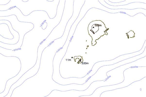
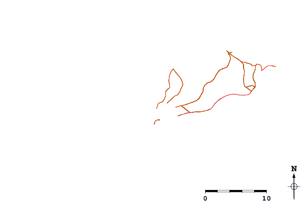
| Contours: | Roads & Rivers: | Select a
tide station / surf break / city |
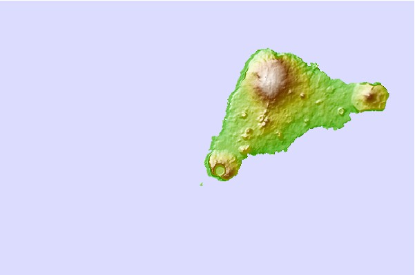
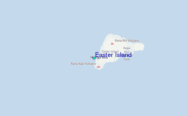
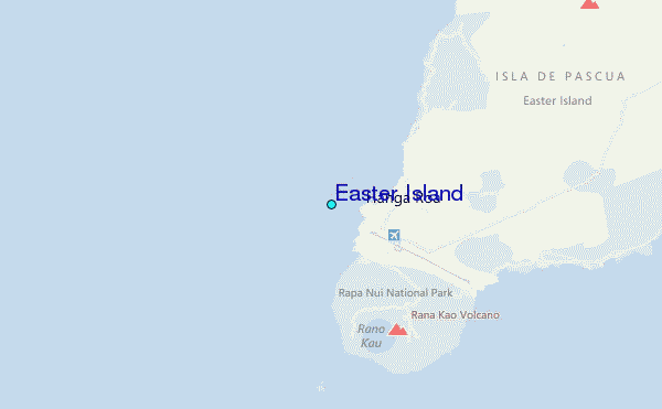
Use this relief map to navigate to tide stations, surf breaks and cities that are in the area of Easter Island.
Other Nearby Locations' tide tables and tide charts to Easter Island:
click location name for more details
 Surf breaks close to Easter Island:
|
||
|---|---|---|
| Closest surf break | Motu Hava | 1 mi |
| Second closest surf break | Mata Veri | 1 mi |
| Third closest surf break | Tahai | 1 mi |
| Fourth closest surf break | Toroko | 1 mi |
| Fifth closest surf break | Viri Inga O Tuki | 3 mi |


 Nearest