
| Distance / Altitude | Location | Report Date / Time | Live Weather | Wind | Gusts | Temp. | Visibility | Cloud |
|---|---|---|---|---|---|---|---|---|
| 1 km NNE / 3 m | BUOY-PSBM1 (Marine) | 2026-03-14 20:18 local (2026/03/15 00:18 GMT) | light winds from the WSW (9 km/h at 240) | — | - | |||
| 26 km SE / 78 m | Grand Manan Sar Cs- NB (Canada) | 2026-03-14 20:00 local (2026/03/15 00:00 GMT) | - | wind obs. (11 kph from 250 degs) was rejected (- km/h at -) | — | - | - - - | |
| 28 km W / 56 m | Blanchard Corner wx (United States) | 2026-03-14 20:33 local (2026/03/15 00:33 GMT) | - | light winds from the NW (10 km/h at 321) | 1°C | - | - - 0 | |
| 29 km NW / 29 m | Red Beach wx (United States) | 2026-03-14 20:38 local (2026/03/15 00:38 GMT) | - | light winds from the W (11 km/h at 261) | 1°C | - | - - 0 | |
| 33 km S / 3 m | BUOY-CFWM1 (Marine) | 2026-03-14 20:18 local (2026/03/15 00:18 GMT) | light winds from the N (9 km/h at 350) | — | - | |||
| 36 km WSW / 83 m | Cooper (Maine) | 2026-03-14 20:44 local (2026/03/15 00:44 GMT) | - | calm (0 km/h at ) | -1°C | - | - - 0 | |
| 39 km NW / 210 m | St. Stephen Airport (New Brunswick) | 2026-03-14 19:00 local (2026/03/14 23:00 GMT) | - | light winds from the WNW (9 km/h at 300) | 1°C | 0.0 | ||
| 40 km NW / 28 m | St.Stephen-NB (Canada) | 2026-03-14 20:00 local (2026/03/15 00:00 GMT) | - | calm (0 km/h at 50) | — | - | - no observation - | |
| 45 km ENE / 216 m | Point Lepreau Airport (New Brunswick) | 2026-03-14 19:00 local (2026/03/14 23:00 GMT) | - | moderate winds from the WNW (24 km/h at 290) | 1°C | 0.0 | ||
| 45 km SW / 48 m | Marshfield wx (United States) | 2026-03-14 20:11 local (2026/03/15 00:11 GMT) | - | calm (0 km/h at 242) | -1°C | - | - - 0 |
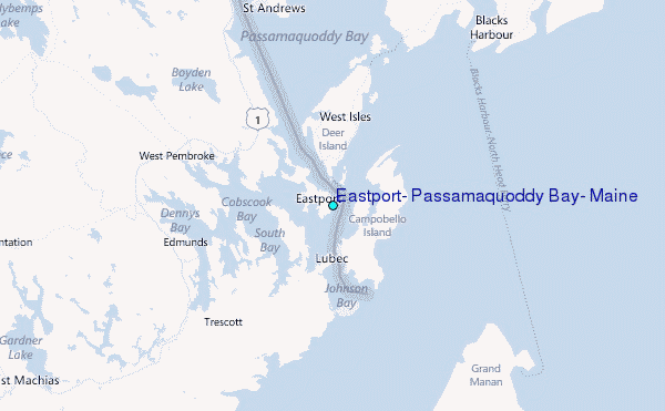
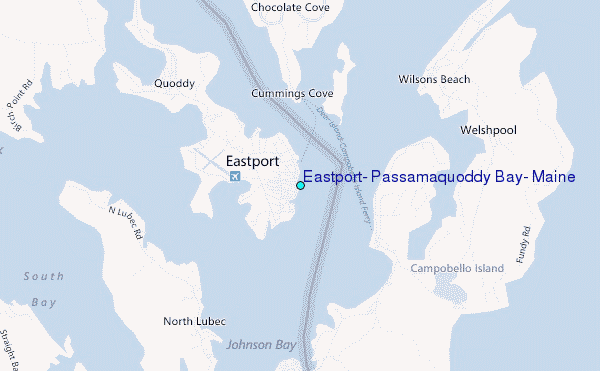
Choose Eastport, Passamaquoddy Bay, Maine Location Map Zoom:
| Contours: | Roads & Rivers: | Select a
tide station / surf break / city |
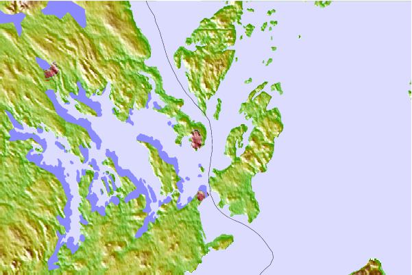
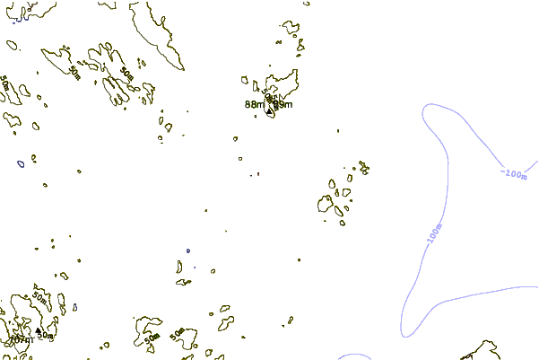
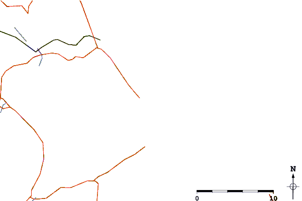
Use this relief map to navigate to tide stations, surf breaks and cities that are in the area of Eastport, Passamaquoddy Bay, Maine.
Other Nearby Locations' tide tables and tide charts to Eastport, Passamaquoddy Bay, Maine:
click location name for more details
 Surf breaks close to Eastport, Passamaquoddy Bay, Maine:
|
||
|---|---|---|
| Closest surf break | Summerville | 126 mi |
| Second closest surf break | Scotts Bay | 129 mi |
| Third closest surf break | White Point Beach | 129 mi |
| Fourth closest surf break | Western Head Point | 131 mi |
| Fifth closest surf break | Western Head Reef | 131 mi |


 Nearest
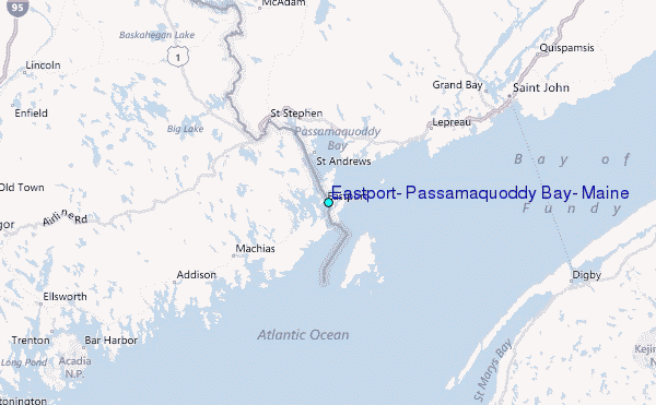