
| Distance / Altitude | Location | Report Date / Time | Live Weather | Wind | Gusts | Temp. | Visibility | Cloud |
|---|---|---|---|---|---|---|---|---|
| 15 km S / 219 m | Belmar/Farmdale Airport (New Jersey) | 2024-04-26 03:56 local (2024/04/26 07:56 GMT) | - | light winds from the NNW (9 km/h at 340) | 2°C | 0.0 | ||
| 20 km N / 3 m | BUOY-SDHN4 (Marine) | 2024-04-26 05:00 local (2024/04/26 09:00 GMT) | calm (5 km/h at 10) | 6°C | - | |||
| 26 km NNE / 3 m | SHIP2494 (Marine) | 2024-04-26 03:00 local (2024/04/26 07:00 GMT) | - (- km/h at -) | 7°C | - | |||
| 31 km ENE / 3 m | New York Harbour Buoy (Marine) | 2024-04-26 05:20 local (2024/04/26 09:20 GMT) | light winds from the NE (7 km/h at 40) | 7°C | - | |||
| 26 km NNE / 3 m | SHIP6784 (Marine) | 2024-04-26 03:00 local (2024/04/26 07:00 GMT) | - (- km/h at -) | 7°C | - |
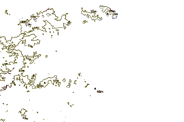
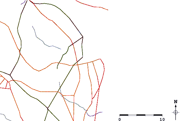
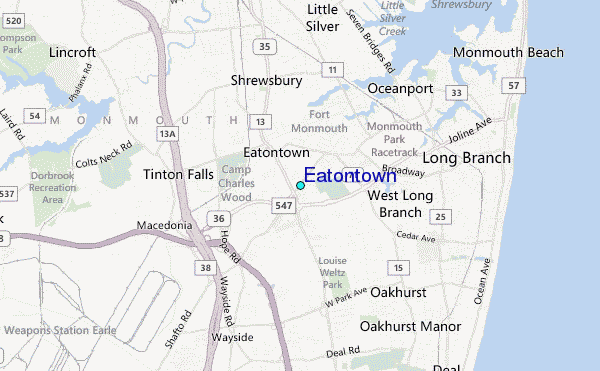
| Contours: | Roads & Rivers: | Select a
tide station / surf break / city |
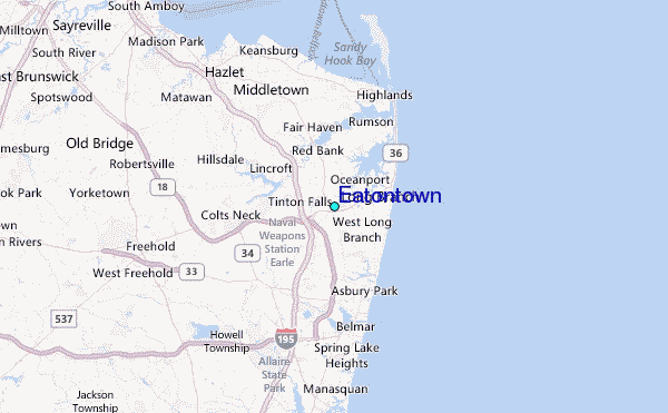
Use this relief map to navigate to tide stations, surf breaks and cities that are in the area of Eatontown.
Other Nearby Locations' tide tables and tide charts to Eatontown:
click location name for more details
 Surf breaks close to Eatontown:
|
||
|---|---|---|
| Closest surf break | The Wedge (Allenhurst) | 4 mi |
| Second closest surf break | Ocean Lane Deal | 4 mi |
| Third closest surf break | Phillips Pump House | 4 mi |
| Fourth closest surf break | 7 Presidents Street Park | 4 mi |
| Fifth closest surf break | Asbury Park | 6 mi |

 Nearest