
| Distance / Altitude | Location | Report Date / Time | Live Weather | Wind | Gusts | Temp. | Visibility | Cloud |
|---|---|---|---|---|---|---|---|---|
| 5 km S / 215 m | Kwajalein/buchol Airport (Marshall Islands) | 2025-12-24 11:40 local (2025/12/23 23:40 GMT) | Dry and partly cloudy | moderate winds from the NE (20 km/h at 50) | 29°C | 16 | scattered overcast overcast | |
| 5 km S / 3 m | BUOY-KWJP8 (Marine) | 2025-12-24 12:00 local (2025/12/24 00:00 GMT) | - (- km/h at -) | — | - | |||
| 425 km ESE / 208 m | Majuro Atoll Airport (Marshall Islands) | 2025-12-24 10:51 local (2025/12/23 22:51 GMT) | Dry and partly cloudy | light winds from the ENE (9 km/h at 60) | 30°C | 24 | few scattered broken | |
| 432 km ESE / 169 m | Majuro Wso Airport (Marshall Islands) | 2025-12-24 10:15 local (2025/12/23 22:15 GMT) | Dry and partly cloudy | light winds from the NE (17 km/h at 40) | 28°C | 24 | few scattered broken | |
| 507 km W / 15 m | ASCATB164E11N (Marine) | 2025-12-24 10:44 local (2025/12/23 22:44 GMT) | moderate winds from the NE (22 km/h at 50) | — | - km | |||
| 556 km WNW / 15 m | ASCATB164E12N (Marine) | 2025-12-24 10:44 local (2025/12/23 22:44 GMT) | light winds from the ENE (19 km/h at 57) | — | - km | |||
| 575 km WSW / 15 m | ASCATB163E9N (Marine) | 2025-12-24 10:45 local (2025/12/23 22:45 GMT) | fresh winds from the NE (30 km/h at 50) | — | - km | |||
| 578 km WSW / 15 m | ASCATB163E10N (Marine) | 2025-12-24 10:45 local (2025/12/23 22:45 GMT) | moderate winds from the NE (27 km/h at 51) | — | - km | |||
| 589 km SW / 15 m | ASCATB163E8N (Marine) | 2025-12-24 10:45 local (2025/12/23 22:45 GMT) | fresh winds from the NE (29 km/h at 43) | — | - km | |||
| 602 km W / 15 m | ASCATB163E11N (Marine) | 2025-12-24 10:44 local (2025/12/23 22:44 GMT) | moderate winds from the NE (26 km/h at 46) | — | - km |
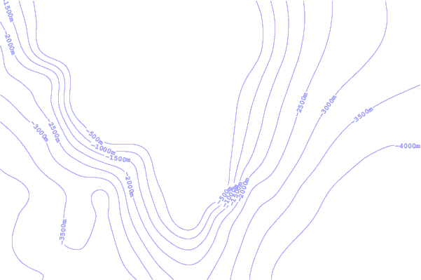
| Contours: | Roads & Rivers: | Select a
tide station / surf break / city |
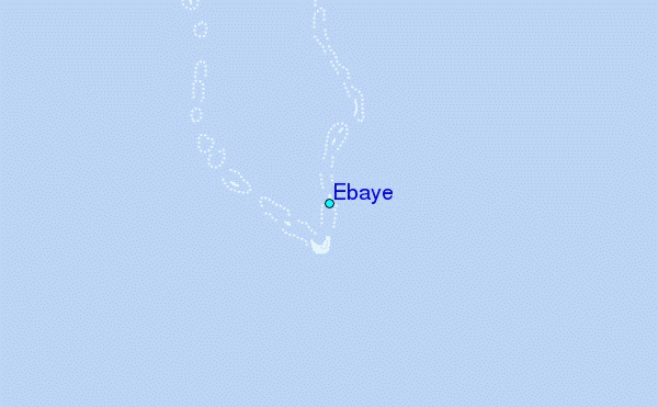
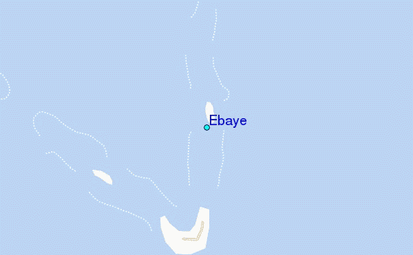
Use this relief map to navigate to tide stations, surf breaks and cities that are in the area of Ebaye.
Other Nearby Locations' tide tables and tide charts to Ebaye:
click location name for more details
 Surf breaks close to Ebaye:
|
||
|---|---|---|
| Closest surf break | Sidedish | 406 mi |
| Second closest surf break | Walung | 408 mi |
| Third closest surf break | Naa | 610 mi |
| Fourth closest surf break | Simberi Island | 1340 mi |
| Fifth closest surf break | Rubio | 1364 mi |


 Nearest