
| Distance / Altitude | Location | Report Date / Time | Live Weather | Wind | Gusts | Temp. | Visibility | Cloud |
|---|---|---|---|---|---|---|---|---|
| 326 km SSE / 15 m | ASCATB169E2N (Marine) | 2025-12-25 21:26 local (2025/12/25 09:26 GMT) | moderate winds from the ENE (20 km/h at 61) | — | - km | |||
| 327 km SSE / 15 m | ASCATB170E2N (Marine) | 2025-12-25 21:26 local (2025/12/25 09:26 GMT) | moderate winds from the ENE (20 km/h at 57) | — | - km | |||
| 339 km S / 15 m | ASCATB168E2N (Marine) | 2025-12-25 21:26 local (2025/12/25 09:26 GMT) | moderate winds from the ENE (21 km/h at 58) | — | - km | |||
| 343 km S / 15 m | ASCATB169E1N (Marine) | 2025-12-25 21:26 local (2025/12/25 09:26 GMT) | moderate winds from the ENE (22 km/h at 64) | — | - km | |||
| 348 km S / 15 m | ASCATB168E1N (Marine) | 2025-12-25 21:26 local (2025/12/25 09:26 GMT) | moderate winds from the ENE (23 km/h at 60) | — | - km | |||
| 364 km SSE / 15 m | ASCATB170E1N (Marine) | 2025-12-25 21:26 local (2025/12/25 09:26 GMT) | light winds from the ENE (19 km/h at 61) | — | - km | |||
| 391 km NE / 208 m | Majuro Atoll Airport (Marshall Islands) | 2025-12-25 20:54 local (2025/12/25 08:54 GMT) | Dry and partly cloudy | light winds from the N (6 km/h at 1) | 28°C | 24 | few scattered broken | |
| 393 km S / 15 m | ASCATB167E1N (Marine) | 2025-12-25 21:26 local (2025/12/25 09:26 GMT) | moderate winds from the ENE (23 km/h at 58) | — | - km | |||
| 397 km NE / 169 m | Majuro Wso Airport (Marshall Islands) | 2025-12-25 19:50 local (2025/12/25 07:50 GMT) | Dry and partly cloudy | moderate winds from the NNE (20 km/h at 20) | 30°C | 24 | few scattered broken | |
| 456 km S / 15 m | ASCATB169E0N (Marine) | 2025-12-25 21:26 local (2025/12/25 09:26 GMT) | moderate winds from the ENE (23 km/h at 71) | — | - km |
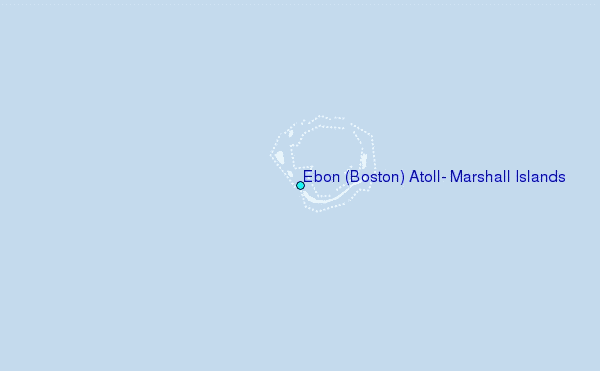
Choose Ebon (Boston) Atoll, Marshall Islands Location Map Zoom:
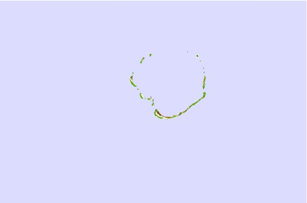
| Contours: | Roads & Rivers: | Select a
tide station / surf break / city |


Use this relief map to navigate to tide stations, surf breaks and cities that are in the area of Ebon (Boston) Atoll, Marshall Islands.
Other Nearby Locations' tide tables and tide charts to Ebon (Boston) Atoll, Marshall Islands:
click location name for more details
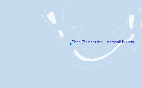
 Surf breaks close to Ebon (Boston) Atoll, Marshall Islands:
|
||
|---|---|---|
| Closest surf break | Naa | 359 mi |
| Second closest surf break | Sidedish | 399 mi |
| Third closest surf break | Walung | 400 mi |
| Fourth closest surf break | Lavata | 1195 mi |
| Fifth closest surf break | Kundu Kundu | 1195 mi |


 Nearest