
| Distance / Altitude | Location | Report Date / Time | Live Weather | Wind | Gusts | Temp. | Visibility | Cloud |
|---|---|---|---|---|---|---|---|---|
| 81 km ESE / 15 m | ASCATB127E10S (Marine) | 2025-12-26 09:21 local (2025/12/25 23:51 GMT) | light winds from the W (18 km/h at 262) | — | - km | |||
| 94 km ESE / 15 m | ASCATB128E10S (Marine) | 2025-12-26 09:21 local (2025/12/25 23:51 GMT) | light winds from the W (17 km/h at 267) | — | - km | |||
| 126 km NE / 15 m | ASCATB128E9S (Marine) | 2025-12-26 09:20 local (2025/12/25 23:50 GMT) | light winds from the WSW (10 km/h at 253) | — | - km | |||
| 149 km SSE / 15 m | ASCATB127E11S (Marine) | 2025-12-26 09:21 local (2025/12/25 23:51 GMT) | fresh winds from the W (29 km/h at 276) | — | - km | |||
| 163 km SSE / 15 m | ASCATB128E11S (Marine) | 2025-12-26 09:21 local (2025/12/25 23:51 GMT) | fresh winds from the W (29 km/h at 277) | — | - km | |||
| 193 km E / 15 m | ASCATB129E10S (Marine) | 2025-12-26 09:21 local (2025/12/25 23:51 GMT) | light winds from the W (14 km/h at 276) | — | - km | |||
| 207 km ENE / 15 m | ASCATB129E9S (Marine) | 2025-12-26 09:20 local (2025/12/25 23:50 GMT) | light winds from the WNW (11 km/h at 288) | — | - km | |||
| 235 km SE / 15 m | ASCATB129E11S (Marine) | 2025-12-26 09:21 local (2025/12/25 23:51 GMT) | moderate winds from the W (28 km/h at 275) | — | - km | |||
| 251 km S / 15 m | ASCATB127E12S (Marine) | 2025-12-26 09:21 local (2025/12/25 23:51 GMT) | fresh winds from the WNW (29 km/h at 281) | — | - km | |||
| 266 km SSE / 15 m | ASCATB128E12S (Marine) | 2025-12-26 09:21 local (2025/12/25 23:51 GMT) | fresh winds from the W (32 km/h at 273) | — | - km |
| Contours: | Roads & Rivers: | Select a
tide station / surf break / city |

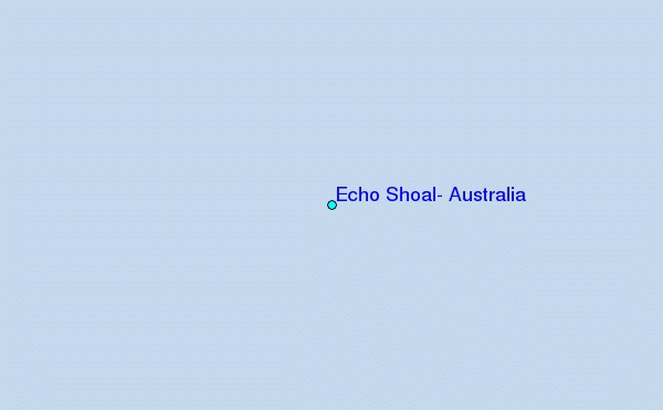
Use this relief map to navigate to tide stations, surf breaks and cities that are in the area of Echo Shoal, Australia.
Other Nearby Locations' tide tables and tide charts to Echo Shoal, Australia:
click location name for more details
 Surf breaks close to Echo Shoal, Australia:
|
||
|---|---|---|
| Closest surf break | Digger | 119 mi |
| Second closest surf break | Nembrala | 171 mi |
| Third closest surf break | Boa | 275 mi |
| Fourth closest surf break | Ndana | 276 mi |
| Fifth closest surf break | Peanuts | 276 mi |


 Nearest
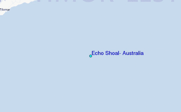