
| Distance / Altitude | Location | Report Date / Time | Live Weather | Wind | Gusts | Temp. | Visibility | Cloud |
|---|---|---|---|---|---|---|---|---|
| 18 km S / 28 m | Tin Can Bay (Defence) (Australia) | 2025-12-24 21:00 local (2025/12/24 11:00 GMT) | Rain | calm (4 km/h at 160) | 23°C | - | - no observation - | |
| 23 km SE / 96 m | DoubleIslandPoint Lighthouse (Australia) | 2025-12-24 21:00 local (2025/12/24 11:00 GMT) | Rain | wind obs. (6 kph from 210 degs) was rejected (- km/h at -) | 23°C | - | - no observation - | |
| 44 km WNW / 11 m | Maryborough(94567-0) (Australia) | 2025-12-24 21:00 local (2025/12/24 11:00 GMT) | - | light winds from the NNW (9 km/h at 340) | — | - | - overcast - | |
| 55 km NW / 240 m | Hervey Bay Airport (Australia) | 2025-12-24 21:00 local (2025/12/24 11:00 GMT) | - | light winds from the N (17 km/h at 350) | — | - | - overcast - | |
| 56 km S / 8 m | Lake Cootharaba (Australia) | 2025-12-24 21:00 local (2025/12/24 11:00 GMT) | - | calm (0 km/h at 270) | 22°C | - | - - 0 | |
| 57 km SSW / 240 m | Gympie (Australia) | 2025-12-24 21:00 local (2025/12/24 11:00 GMT) | - | calm (2 km/h at 270) | — | - | - no observation - | |
| 66 km S / 168 m | Tewantin (Australia) | 2025-12-24 21:00 local (2025/12/24 11:00 GMT) | no report | light winds from the WSW (6 km/h at 250) | 16°C | - | - no observation - | |
| 70 km S / 36 m | Sunrise Beach (Australia) | 2025-12-24 21:00 local (2025/12/24 11:00 GMT) | - | light winds from the WNW (19 km/h at 288) | 24°C | - | - - 0 | |
| 80 km NE / 3 m | SHIP8577 (Marine) | 2025-12-24 21:00 local (2025/12/24 11:00 GMT) | light winds from the N (18 km/h at 360) | 27°C | 20.4 | |||
| 80 km NE / - m | SHIP344 (ocean) | 2025-12-24 21:00 local (2025/12/24 11:00 GMT) | State of sky unchanged | light winds from the N (19 km/h at 360) | 27°C | 20 km | scattered |
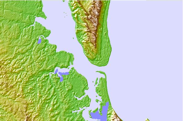
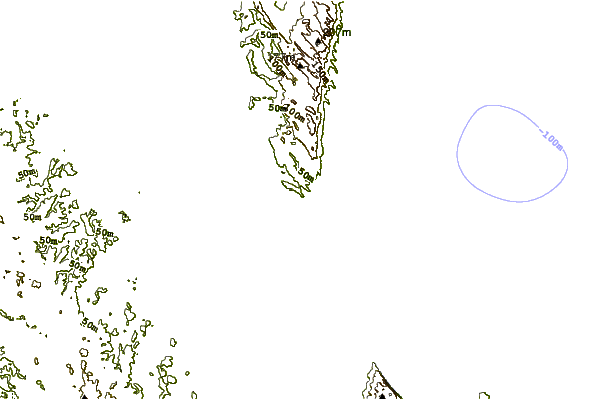
| Contours: | Roads & Rivers: | Select a
tide station / surf break / city |
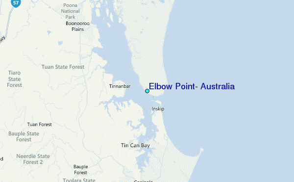
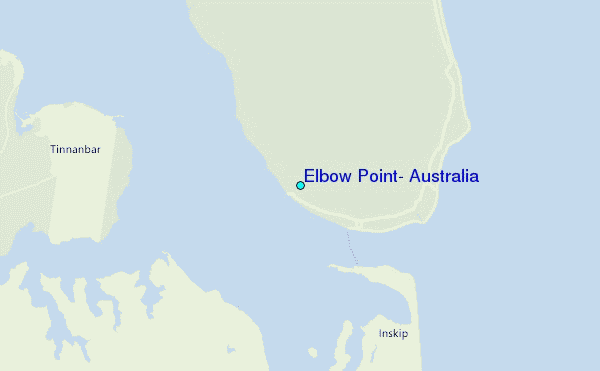
Use this relief map to navigate to tide stations, surf breaks and cities that are in the area of Elbow Point, Australia.
Other Nearby Locations' tide tables and tide charts to Elbow Point, Australia:
click location name for more details
 Surf breaks close to Elbow Point, Australia:
|
||
|---|---|---|
| Closest surf break | Inskip Point | 3 mi |
| Second closest surf break | Double Island Point - North Coast | 14 mi |
| Third closest surf break | Double Island Point - East Side | 14 mi |
| Fourth closest surf break | Fraser Island - Maheno Wreck | 39 mi |
| Fifth closest surf break | Noosa - Boiling Pot | 41 mi |


 Nearest
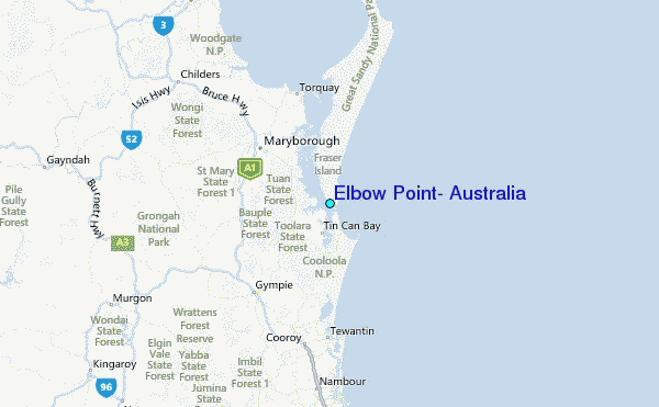