
| Distance / Altitude | Location | Report Date / Time | Live Weather | Wind | Gusts | Temp. | Visibility | Cloud |
|---|---|---|---|---|---|---|---|---|
| 3 km ENE / 43 m | Eureka (California) | 2025-12-24 19:45 local (2025/12/25 03:45 GMT) | dry | light winds from the SE (10 km/h at 130) | 11°C | - | - - 0 | |
| 3 km NW / 3 m | BUOY-HBXC1 (Marine) | 2025-12-24 19:00 local (2025/12/25 03:00 GMT) | - (- km/h at -) | — | - | |||
| 3 km W / 3 m | BUOY-HBYC1 (Marine) | 2025-12-24 18:36 local (2025/12/25 02:36 GMT) | - (- km/h at -) | — | - | |||
| 4 km W / 3 m | BUOY-NJLC1 (Marine) | 2025-12-24 19:00 local (2025/12/25 03:00 GMT) | light winds from the SSW (8 km/h at 210) | 12°C | - | |||
| 11 km S / 122 m | Fortuna (California) | 2025-12-24 18:35 local (2025/12/25 02:35 GMT) | - | light winds from the SE (15 km/h at 140) | 12°C | 16 | few few scattered | |
| 21 km WNW / 3 m | Humboldt Bay- North Spit- CA (Marine) | 2025-12-24 19:26 local (2025/12/25 03:26 GMT) | - (- km/h at -) | — | - | |||
| 22 km SSE / 60 m | Fortuna (California) | 2025-12-24 19:05 local (2025/12/25 03:05 GMT) | dry | calm (3 km/h at 81) | 12°C | - | - - 0 | |
| 26 km NNE / 218 m | Arcata/Eureka Airport (California) | 2025-12-24 17:53 local (2025/12/25 01:53 GMT) | Clear | calm (0 km/h at 0) | 10°C | 16 | ||
| 27 km SW / - m | SHIP393 (ocean) | 2025-12-24 19:00 local (2025/12/25 03:00 GMT) | - | light winds from the SE (11 km/h at 130) | 13°C | - | no observation | |
| 27 km SW / - m | SHIP685 (ocean) | 2025-12-24 19:00 local (2025/12/25 03:00 GMT) | - | light winds from the SE (7 km/h at 140) | 13°C | - | no observation |
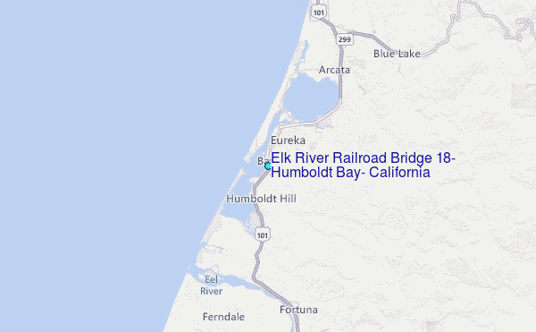
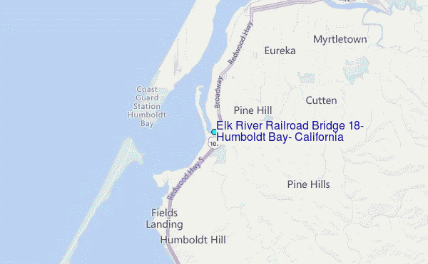
Choose Elk River Railroad Bridge #18, Humboldt Bay, California Location Map Zoom:
| Contours: | Roads & Rivers: | Select a
tide station / surf break / city |
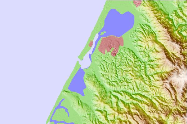
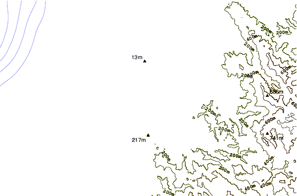
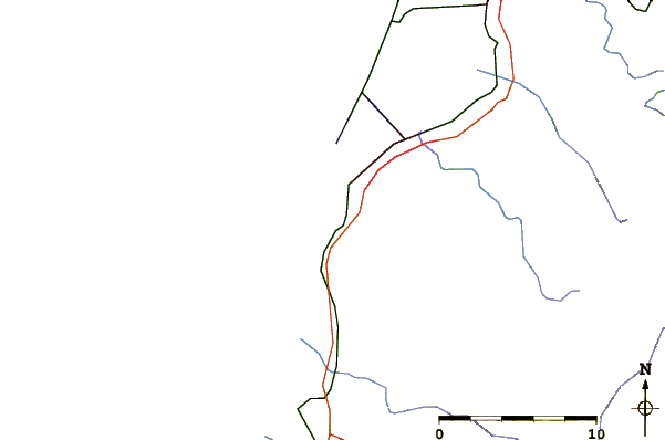
Use this relief map to navigate to tide stations, surf breaks and cities that are in the area of Elk River Railroad Bridge #18, Humboldt Bay, California.
Other Nearby Locations' tide tables and tide charts to Elk River Railroad Bridge #18, Humboldt Bay, California:
click location name for more details
 Surf breaks close to Elk River Railroad Bridge #18, Humboldt Bay, California:
|
||
|---|---|---|
| Closest surf break | Bunkers | 2 mi |
| Second closest surf break | Harbor Entrance at Eureka | 2 mi |
| Third closest surf break | North Jetty at Eureka | 2 mi |
| Fourth closest surf break | South Jetty Table Bluff | 2 mi |
| Fifth closest surf break | Samoa Peninsula | 3 mi |


 Nearest
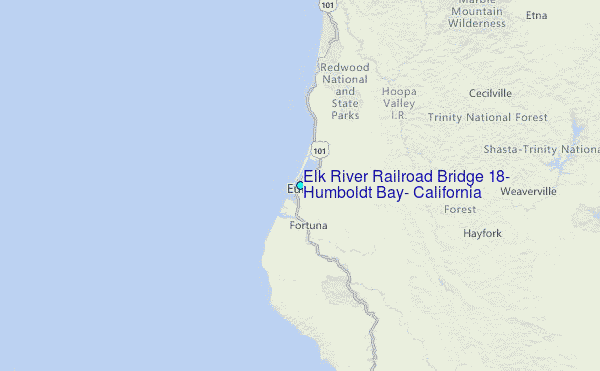