
| Distance / Altitude | Location | Report Date / Time | Live Weather | Wind | Gusts | Temp. | Visibility | Cloud |
|---|---|---|---|---|---|---|---|---|
| 1 km S / 3 m | BUOY-MLSC1 (Marine) | 2026-06-06 12:00 local (2026/06/06 19:00 GMT) | - (15 km/h at -) | 15°C | - | |||
| 14 km N / 216 m | Watsonville Airport (California) | 2026-06-06 10:53 local (2026/06/06 17:53 GMT) | Clear | light winds from the SW (15 km/h at 220) | 17°C | 16 | ||
| 16 km SW / 3 m | BUOY-46236 (Marine) | 2026-06-06 11:56 local (2026/06/06 18:56 GMT) | - (- km/h at -) | — | - | |||
| 16 km S / 41 m | Fort Ord/Fritzsche Airport (California) (California) | 2026-06-06 11:35 local (2026/06/06 18:35 GMT) | Clear | fresh winds from the W (30 km/h at 260) | 15°C | 16 | ||
| 17 km NW / 30 m | La Selva Beach wx (United States) | 2026-06-06 11:32 local (2026/06/06 18:32 GMT) | dry | calm (0 km/h at 26) | 23°C | - | - - 0 | |
| 17 km SSE / 19 m | East Garrison wx (United States) | 2026-06-06 12:06 local (2026/06/06 19:06 GMT) | dry | calm (5 km/h at 216) | 16°C | - | - - 0 | |
| 20 km NW / 40 m | Aptos (California) | 2026-06-06 11:08 local (2026/06/06 18:08 GMT) | dry | wind obs. (19 kph from 11 degs) was rejected (- km/h at -) | 17°C | - | - - 0 | |
| 23 km SW / 3 m | BUOY-46092 (Marine) | 2026-06-06 11:08 local (2026/06/06 18:08 GMT) | fresh winds from the W (32 km/h at 260) | 12°C | - | |||
| 23 km SE / 218 m | Salinas Airport (California) | 2026-06-06 10:53 local (2026/06/06 17:53 GMT) | Clear | moderate winds from the WNW (22 km/h at 290) | 16°C | 11 | ||
| 23 km WNW / 10 m | Santa Cruz (California) | 2026-06-06 12:03 local (2026/06/06 19:03 GMT) | dry | calm (3 km/h at 194) | 17°C | - | - - 0 |
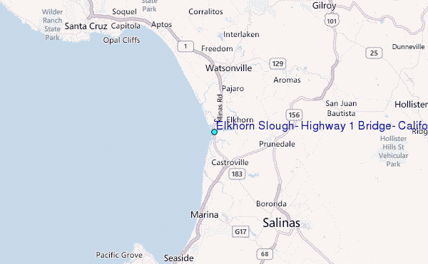
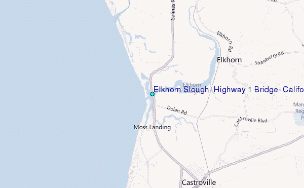
Choose Elkhorn Slough, Highway 1 Bridge, California Location Map Zoom:
| Contours: | Roads & Rivers: | Select a
tide station / surf break / city |
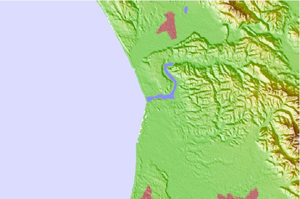
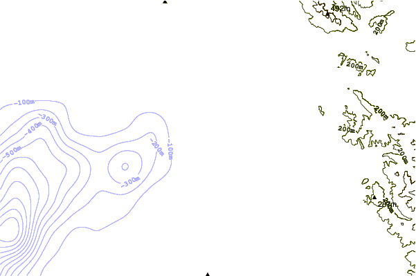
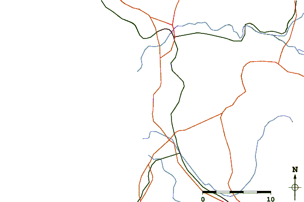
Use this relief map to navigate to tide stations, surf breaks and cities that are in the area of Elkhorn Slough, Highway 1 Bridge, California.
Other Nearby Locations' tide tables and tide charts to Elkhorn Slough, Highway 1 Bridge, California:
click location name for more details
 Surf breaks close to Elkhorn Slough, Highway 1 Bridge, California:
|
||
|---|---|---|
| Closest surf break | Moss Landing | 1 mi |
| Second closest surf break | Salinas River State Beach | 1 mi |
| Third closest surf break | Zmudowski State Beach | 1 mi |
| Fourth closest surf break | Marina State Beach | 4 mi |
| Fifth closest surf break | Sunset State Beach | 7 mi |


 Nearest
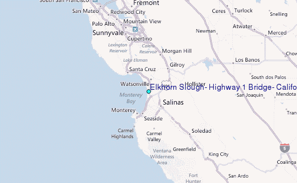