
| Distance / Altitude | Location | Report Date / Time | Live Weather | Wind | Gusts | Temp. | Visibility | Cloud |
|---|---|---|---|---|---|---|---|---|
| 6 km SSE / 15 m | SHIP6608 (Marine) | 2026-03-09 16:00 local (2026/03/09 23:00 GMT) | - (- km/h at -) | — | - km | |||
| 82 km NW / 363 m | Tijuana International Airport (Mexico) | 2026-03-09 16:50 local (2026/03/09 23:50 GMT) | - | light winds from the WSW (17 km/h at 250) | 18°C | 16 | few | |
| 89 km NW / 218 m | San Diego/Brown Field Municipal Airport (California) | 2026-03-09 16:53 local (2026/03/09 23:53 GMT) | Clear | light winds from the WNW (9 km/h at 300) | 18°C | 16 | ||
| 92 km NW / 218 m | Imperial Beach Airport (California) | 2026-03-09 16:53 local (2026/03/09 23:53 GMT) | - | light winds from the WSW (15 km/h at 250) | 18°C | 16 | few few scattered | |
| 94 km NW / 3 m | BUOY-TIXC1 (Marine) | 2026-03-09 16:45 local (2026/03/09 23:45 GMT) | light winds from the W (9 km/h at 270) | 18°C | - | |||
| 6 km SSE / 15 m | SHIP3288 (Marine) | 2026-03-09 16:00 local (2026/03/09 23:00 GMT) | - (- km/h at -) | — | - km | |||
| 82 km NW / 363 m | Tijuana International Airport (Mexico) | 2026-03-09 16:50 local (2026/03/09 23:50 GMT) | - | light winds from the WSW (17 km/h at 250) | 18°C | 16 | few | |
| 88 km NW / 218 m | San Diego/Brown Field Municipal Airport (California) | 2026-03-09 16:53 local (2026/03/09 23:53 GMT) | Clear | light winds from the WNW (9 km/h at 300) | 18°C | 16 | ||
| 92 km NW / 218 m | Imperial Beach Airport (California) | 2026-03-09 16:53 local (2026/03/09 23:53 GMT) | - | light winds from the WSW (15 km/h at 250) | 18°C | 16 | few few scattered | |
| 94 km NW / 3 m | BUOY-TIXC1 (Marine) | 2026-03-09 16:45 local (2026/03/09 23:45 GMT) | light winds from the W (9 km/h at 270) | 18°C | - |
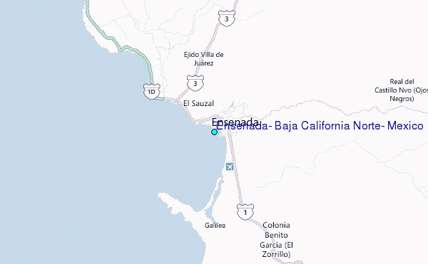
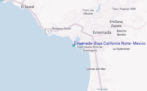
Choose Ensenada, Baja California Norte, Mexico Location Map Zoom:
| Contours: | Roads & Rivers: | Select a
tide station / surf break / city |
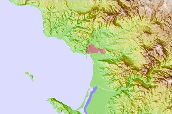
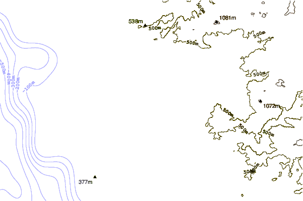
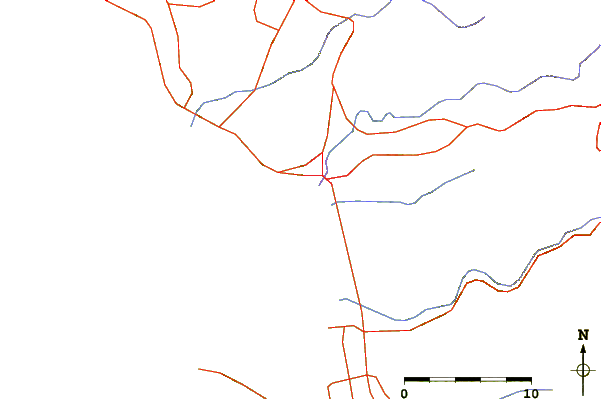
Use this relief map to navigate to tide stations, surf breaks and cities that are in the area of Ensenada, Baja California Norte, Mexico.
Other Nearby Locations' tide tables and tide charts to Ensenada, Baja California Norte, Mexico:
click location name for more details
 Surf breaks close to Ensenada, Baja California Norte, Mexico:
|
||
|---|---|---|
| Closest surf break | California Trailer Park | 2 mi |
| Second closest surf break | Cannery (Stacks) | 3 mi |
| Third closest surf break | Ensenada Beaches | 4 mi |
| Fourth closest surf break | 3Ms | 4 mi |
| Fifth closest surf break | San Miguel | 7 mi |


 Nearest
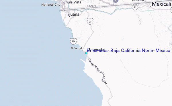