
| Distance / Altitude | Location | Report Date / Time | Live Weather | Wind | Gusts | Temp. | Visibility | Cloud |
|---|---|---|---|---|---|---|---|---|
| 20 km NW / 215 m | Kake Airport (Alaska) | 2026-03-10 02:37 local (2026/03/10 10:37 GMT) | Light snow | light winds from the E.(Wind varies from 007 to 011 degs) (17 km/h at 100) | -2°C | 2 | broken overcast | |
| 50 km E / 216 m | Petersburg Airport (Alaska) | 2026-03-10 02:41 local (2026/03/10 10:41 GMT) | Light snow | calm (0 km/h at 0) | — | 3 | few broken | |
| 51 km N / 3 m | BUOY-FFIA2 (Marine) | 2026-03-10 03:00 local (2026/03/10 11:00 GMT) | light winds from the E (15 km/h at 90) | -1°C | - | |||
| 52 km E / 46 m | Scow Bay wx (United States) | 2026-03-10 01:38 local (2026/03/10 09:38 GMT) | - | calm (0 km/h at 315) | -2°C | - | - - 0 | |
| 64 km W / 15 m | SHIP9184 (Marine) | 2026-03-10 02:00 local (2026/03/10 10:00 GMT) | moderate winds from the E (27.720000000000002 km/h at 100) | — | - km | |||
| 64 km W / 3 m | SHIP8551 (Marine) | 2026-03-10 02:00 local (2026/03/10 10:00 GMT) | moderate winds from the E (28 km/h at 100) | -1°C | - | |||
| 70 km WNW / 15 m | SHIP3683 (Marine) | 2026-03-10 02:00 local (2026/03/10 10:00 GMT) | moderate winds from the ESE (24.12 km/h at 120) | — | - km | |||
| 77 km WNW / 3 m | SHIP6074 (Marine) | 2026-03-10 01:00 local (2026/03/10 09:00 GMT) | moderate winds from the SE (26 km/h at 130) | -1°C | - | |||
| 77 km WNW / 3 m | SHIP4108 (Marine) | 2026-03-10 01:00 local (2026/03/10 09:00 GMT) | moderate winds from the SE (21 km/h at 140) | -1°C | - | |||
| 77 km WNW / 3 m | SHIP8162 (Marine) | 2026-03-10 01:00 local (2026/03/10 09:00 GMT) | moderate winds from the SE (26 km/h at 130) | -1°C | - |
| Contours: | Roads & Rivers: | Select a
tide station / surf break / city |
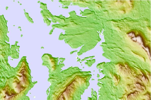
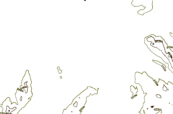
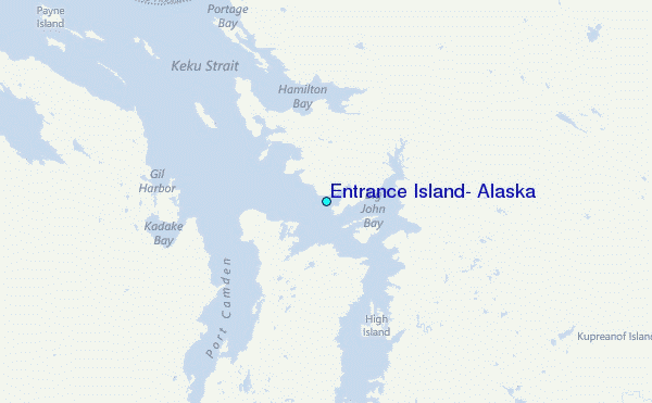
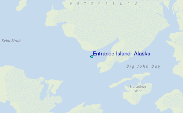
Use this relief map to navigate to tide stations, surf breaks and cities that are in the area of Entrance Island, Alaska.
Other Nearby Locations' tide tables and tide charts to Entrance Island, Alaska:
click location name for more details
 Surf breaks close to Entrance Island, Alaska:
|
||
|---|---|---|
| Closest surf break | Lepus Beach (Haida-Gwaii) | 185 mi |
| Second closest surf break | Tow Hill Beach | 204 mi |
| Third closest surf break | Cannon Beach | 287 mi |
| Fourth closest surf break | Graveyards | 290 mi |
| Fifth closest surf break | Ocean Cape | 291 mi |


 Nearest
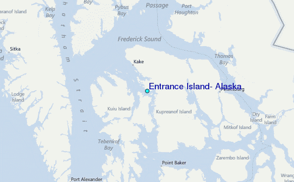