
| Distance / Altitude | Location | Report Date / Time | Live Weather | Wind | Gusts | Temp. | Visibility | Cloud |
|---|---|---|---|---|---|---|---|---|
| 140 km W / 80 m | Dalipdip wx (Philippines) | 2026-02-09 05:18 local (2026/02/08 21:18 GMT) | dry | moderate winds from the N (21 km/h at 4) | 24°C | - | - - 0 | |
| 168 km S / 8 m | Dumaguete (Philippines) | 2026-02-09 05:00 local (2026/02/08 21:00 GMT) | Dry and partly cloudy | calm (4 km/h at 360) | 27°C | 10.0 | scattered broken | |
| 169 km N / 210 m | Macatan Airport (Philippines) | 2026-02-09 04:00 local (2026/02/08 20:00 GMT) | Dry and partly cloudy | wind obs. (6 kph from 330 degs) was rejected (- km/h at -) | 26°C | 10.0 | few broken | |
| 284 km SSE / 10 m | Opol (PI) | 2026-02-09 05:03 local (2026/02/08 21:03 GMT) | dry | calm (0 km/h at 252) | 24°C | - | - - 0 | |
| 295 km SE / 36 m | Del Pilar wx (Philippines) | 2026-02-09 05:01 local (2026/02/08 21:01 GMT) | dry | calm (0 km/h at 0) | 23°C | - | - - 0 | |
| 314 km ESE / 20 m | BRAVO SIARGAO (Philippines) | 2026-02-09 05:00 local (2026/02/08 21:00 GMT) | - | light winds from the WNW (7 km/h at 283) | 25°C | - | - - 0 | |
| 388 km WNW / 6 m | Laiya (Philippines) | 2026-02-09 04:01 local (2026/02/08 20:01 GMT) | dry | - (- km/h at ) | — | - | - - 0 | |
| 450 km WSW / 21 m | El Nido wx (Philippines) | 2026-02-09 05:08 local (2026/02/08 21:08 GMT) | dry | calm (0 km/h at 210) | 24°C | - | - - 0 | |
| 463 km S / 417 m | Zamboanga Airport (Philippines) | 2026-02-09 05:00 local (2026/02/08 21:00 GMT) | Dry and partly cloudy | calm (2 km/h at 90) | 24°C | 10.0 | few broken | |
| 475 km SSE / 293 m | Davao/Francisco Bangoy International Airport (Philippines) | 2026-02-09 04:00 local (2026/02/08 20:00 GMT) | Dry and partly cloudy | light winds from the NNW (6 km/h at 340) | 25°C | 10.0 | few broken |
| Contours: | Roads & Rivers: | Select a
tide station / surf break / city |
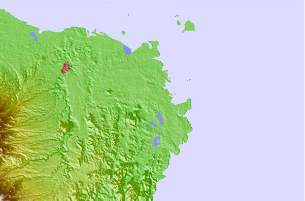
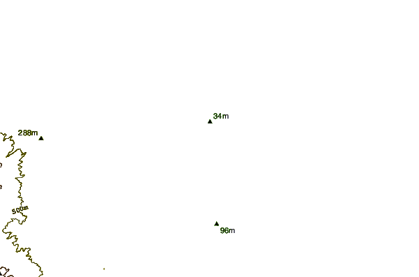
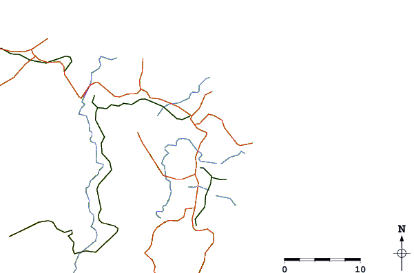
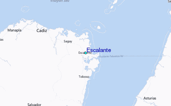
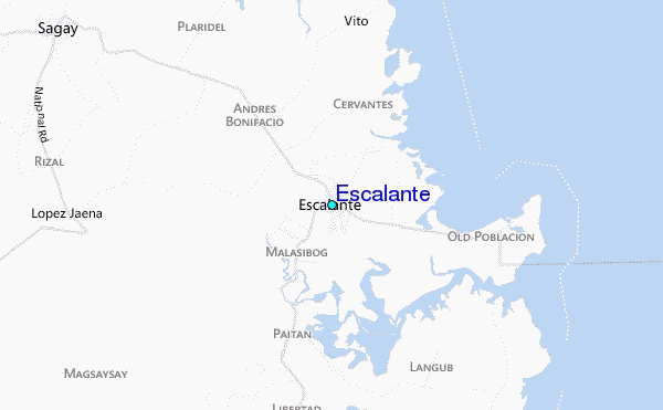
Use this relief map to navigate to tide stations, surf breaks and cities that are in the area of Escalante.
Other Nearby Locations' tide tables and tide charts to Escalante:
click location name for more details
 Surf breaks close to Escalante:
|
||
|---|---|---|
| Closest surf break | Boulevard | 142 mi |
| Second closest surf break | Guitagican Beach | 142 mi |
| Third closest surf break | Pirates Cove | 142 mi |
| Fourth closest surf break | Llorente | 145 mi |
| Fifth closest surf break | Santa Monica | 145 mi |


 Nearest
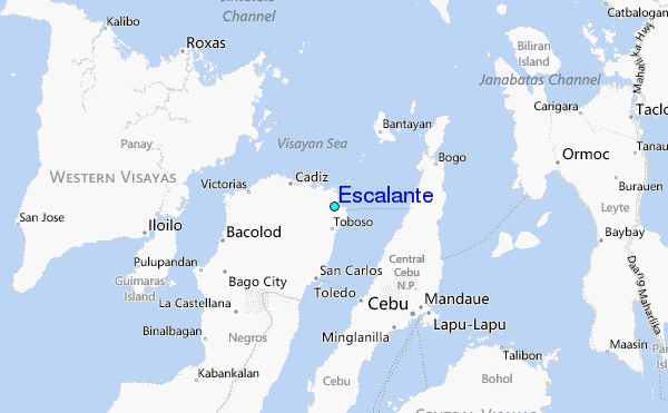