
| Distance / Altitude | Location | Report Date / Time | Live Weather | Wind | Gusts | Temp. | Visibility | Cloud |
|---|---|---|---|---|---|---|---|---|
| 17 km WSW / 216 m | Gustavus Airport (Alaska) | 2026-03-09 08:56 local (2026/03/09 16:56 GMT) | Dry and partly cloudy | calm (0 km/h at 0) | -6°C | 16 | broken | |
| 17 km WSW / 3 m | BUOY-GUXA2 (Marine) | 2026-03-09 10:32 local (2026/03/09 18:32 GMT) | calm (5 km/h at 360) | -2°C | - | |||
| 27 km ENE / 3 m | BUOY-LIXA2 (Marine) | 2026-03-09 10:32 local (2026/03/09 18:32 GMT) | strong winds from the N (42 km/h at 360) | -4°C | - | |||
| 28 km E / 3 m | BUOY-PRTA2 (Marine) | 2026-03-09 10:10 local (2026/03/09 18:10 GMT) | fresh winds from the N (30 km/h at 350) | -3°C | - | |||
| 33 km NE / 15 m | SHIP7810 (Marine) | 2026-03-09 08:00 local (2026/03/09 16:00 GMT) | gales from the NNW (68.4 km/h at 330) | — | - km | |||
| 33 km ENE / 15 m | SHIP3963 (Marine) | 2026-03-09 08:00 local (2026/03/09 16:00 GMT) | near gales from the NNW (59.4 km/h at 330) | — | - km | |||
| 33 km NE / 15 m | SHIP3383 (Marine) | 2026-03-09 08:00 local (2026/03/09 16:00 GMT) | gales from the NNW (68.4 km/h at 330) | — | - km | |||
| 33 km NE / 15 m | SHIP8352 (Marine) | 2026-03-09 08:00 local (2026/03/09 16:00 GMT) | gales from the NNW (68.4 km/h at 330) | — | - km | |||
| 34 km ESE / 3 m | BUOY-NKXA2 (Marine) | 2026-03-09 10:32 local (2026/03/09 18:32 GMT) | fresh winds from the NNE (37 km/h at 30) | -3°C | - | |||
| 35 km S / 213 m | Hoonah Airport (Alaska) | 2026-03-09 09:06 local (2026/03/09 17:06 GMT) | Mist - | calm (0 km/h at 0) | -6°C | 10 | scattered overcast |
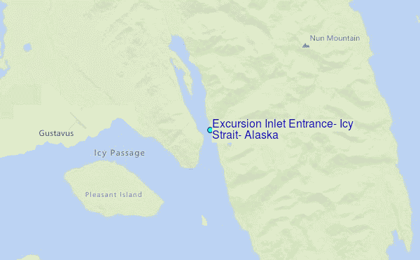
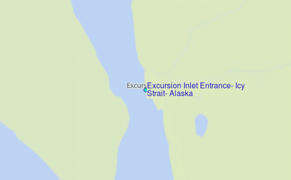
Choose Excursion Inlet Entrance, Icy Strait, Alaska Location Map Zoom:
| Contours: | Roads & Rivers: | Select a
tide station / surf break / city |
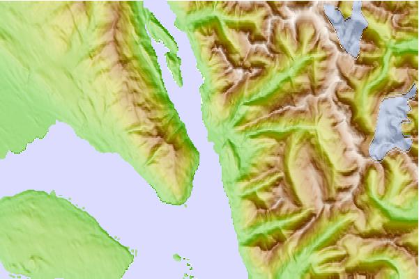
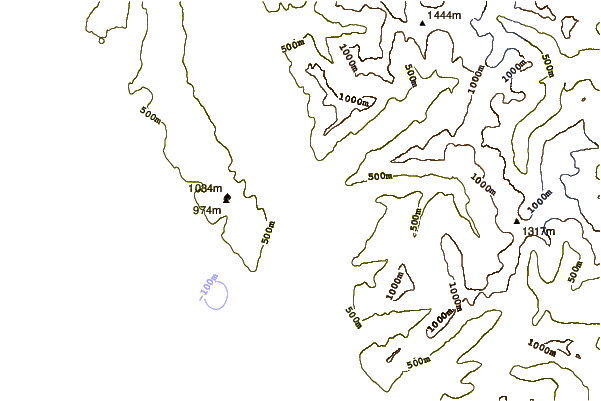
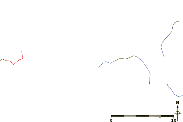
Use this relief map to navigate to tide stations, surf breaks and cities that are in the area of Excursion Inlet Entrance, Icy Strait, Alaska.
Other Nearby Locations' tide tables and tide charts to Excursion Inlet Entrance, Icy Strait, Alaska:
click location name for more details
 Surf breaks close to Excursion Inlet Entrance, Icy Strait, Alaska:
|
||
|---|---|---|
| Closest surf break | Cannon Beach | 171 mi |
| Second closest surf break | Graveyards | 174 mi |
| Third closest surf break | Ocean Cape | 176 mi |
| Fourth closest surf break | Lepus Beach (Haida-Gwaii) | 308 mi |
| Fifth closest surf break | Tow Hill Beach | 331 mi |


 Nearest
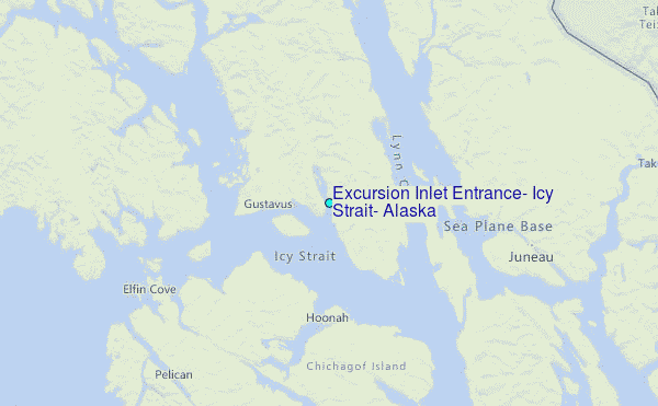