
| Distance / Altitude | Location | Report Date / Time | Live Weather | Wind | Gusts | Temp. | Visibility | Cloud |
|---|---|---|---|---|---|---|---|---|
| 30 km NE / 211 m | Atka Airport (Alaska) | 2026-02-10 13:56 local (2026/02/10 23:56 GMT) | Dry and partly cloudy | moderate winds from the WSW (28 km/h at 250) | 2°C | 0.0 | scattered broken | |
| 33 km NE / 3 m | BUOY-ATKA2 (Marine) | 2026-02-10 14:48 local (2026/02/11 00:48 GMT) | near gales from the W (59 km/h at 280) | — | - | |||
| 144 km WSW / 3 m | BUOY-ADKA2 (Marine) | 2026-02-10 14:48 local (2026/02/11 00:48 GMT) | gales from the WSW (63 km/h at 250) | — | - | |||
| 145 km WSW / 506 m | Adak Naval Air Station Airport (Alaska) | 2026-02-10 14:07 local (2026/02/11 00:07 GMT) | Moderate rain | gales from the WSW (67 km/h at 240) | 2°C | 14 | scattered broken overcast | |
| 153 km WNW / 15 m | ASCATC184E53N (Marine) | 2026-02-10 12:58 local (2026/02/10 22:58 GMT) | severe gales from the WSW (75 km/h at 251) | — | - km | |||
| 173 km ESE / 3 m | Central Aleutians Buoy (Marine) | 2026-02-10 14:50 local (2026/02/11 00:50 GMT) | - (- km/h at -) | — | - | |||
| 192 km WSW / 15 m | ASCATC183E52N (Marine) | 2026-02-10 12:58 local (2026/02/10 22:58 GMT) | gales from the W (73 km/h at 262) | — | - km | |||
| 196 km W / 15 m | ASCATC183E53N (Marine) | 2026-02-10 12:58 local (2026/02/10 22:58 GMT) | severe gales from the WSW (75 km/h at 256) | — | - km | |||
| 205 km WNW / 15 m | ASCATC184E54N (Marine) | 2026-02-10 12:58 local (2026/02/10 22:58 GMT) | gales from the W (69 km/h at 260) | — | - km | |||
| 217 km NW / 15 m | ASCATC185E54N (Marine) | 2026-02-10 12:58 local (2026/02/10 22:58 GMT) | gales from the WSW (72 km/h at 251) | — | - km |
| Contours: | Roads & Rivers: | Select a
tide station / surf break / city |
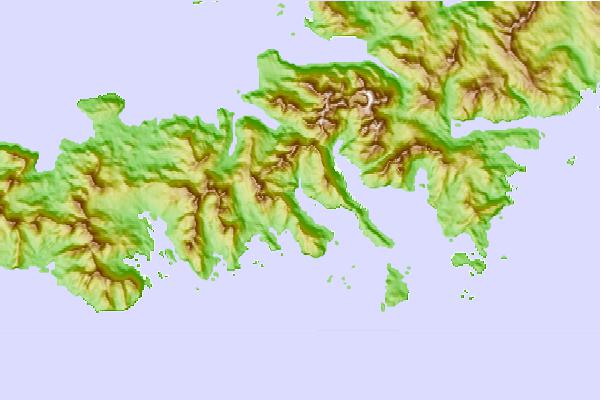
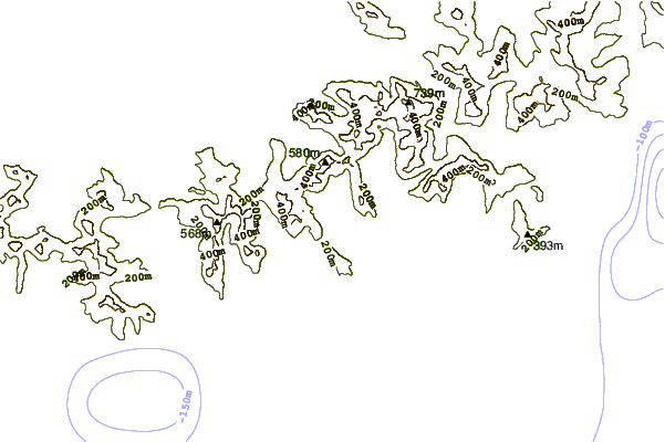
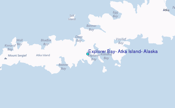
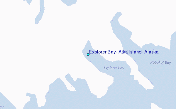
Use this relief map to navigate to tide stations, surf breaks and cities that are in the area of Explorer Bay, Atka Island, Alaska.
Other Nearby Locations' tide tables and tide charts to Explorer Bay, Atka Island, Alaska:
click location name for more details
 Surf breaks close to Explorer Bay, Atka Island, Alaska:
|
||
|---|---|---|
| Closest surf break | Fossil Beach Kodiak | 955 mi |
| Second closest surf break | Monashka Bay | 959 mi |
| Third closest surf break | Termination Point | 961 mi |
| Fourth closest surf break | Mill Bay | 962 mi |
| Fifth closest surf break | Bird Point (Tidal Bore) | 1061 mi |


 Nearest
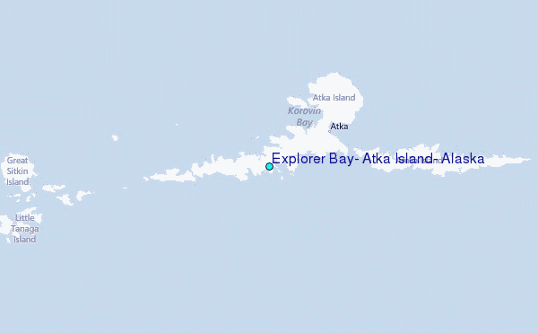