
| Distance / Altitude | Location | Report Date / Time | Live Weather | Wind | Gusts | Temp. | Visibility | Cloud |
|---|---|---|---|---|---|---|---|---|
| 73 km W / 3 m | NukunonuAws (Tokelau) | 2026-05-13 03:00 local (2026/05/12 14:00 GMT) | no report | light winds from the SE (9 km/h at 130) | 29°C | - | - no observation - | |
| 405 km SE / 3 m | SHIP11602 (Marine) | 2026-05-13 02:00 local (2026/05/12 13:00 GMT) | fresh winds from the ESE (37 km/h at 110) | 29°C | - | |||
| 500 km S / 5 m | Faleolo Airport (Samoa) | 2026-05-13 01:00 local (2026/05/12 12:00 GMT) | no report | light winds from the E (7 km/h at 100) | 25°C | 20 | - - - | |
| 518 km S / 368 m | Faleolo International/Apia Airport (Samoa/polynesia) | 2026-05-13 02:00 local (2026/05/12 13:00 GMT) | - | light winds from the SE (9 km/h at 130) | 27°C | 10.0 | few | |
| 548 km S / 3 m | BUOY-NSTP6 (Marine) | 2026-05-13 02:30 local (2026/05/12 13:30 GMT) | - (- km/h at -) | — | - | |||
| 404 km SE / - m | SHIP407 (ocean) | 2026-05-13 02:00 local (2026/05/12 13:00 GMT) | No report | fresh winds from the ESE (37 km/h at 110) | 29°C | - | no observation | |
| 411 km SE / 3 m | SHIP8182 (Marine) | 2026-05-13 01:00 local (2026/05/12 12:00 GMT) | strong winds from the ESE (42 km/h at 120) | 29°C | - | |||
| 411 km SE / 15 m | SHIP4342 (Marine) | 2026-05-13 01:00 local (2026/05/12 12:00 GMT) | fresh winds from the ESE (37.080000000000005 km/h at 110) | 30°C | - km | |||
| 411 km SE / 15 m | SHIP8898 (Marine) | 2026-05-13 01:00 local (2026/05/12 12:00 GMT) | strong winds from the ESE (42.480000000000004 km/h at 120) | 30°C | - km | |||
| 411 km SE / 15 m | SHIP10397 (Marine) | 2026-05-13 01:00 local (2026/05/12 12:00 GMT) | strong winds from the ESE (42.480000000000004 km/h at 120) | 30°C | - km |
| Contours: | Roads & Rivers: | Select a
tide station / surf break / city |
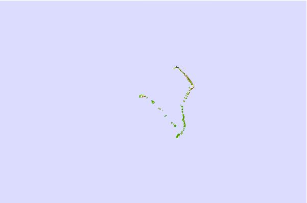
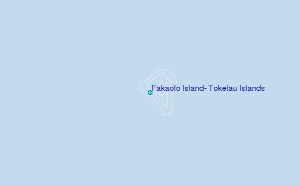
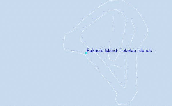
Use this relief map to navigate to tide stations, surf breaks and cities that are in the area of Fakaofo Island, Tokelau Islands.
Other Nearby Locations' tide tables and tide charts to Fakaofo Island, Tokelau Islands:
click location name for more details
 Surf breaks close to Fakaofo Island, Tokelau Islands:
|
||
|---|---|---|
| Closest surf break | Utua Mamao (Atafu) | 101 mi |
| Second closest surf break | Malama Lefts | 295 mi |
| Third closest surf break | The Wharf | 308 mi |
| Fourth closest surf break | The Leap | 310 mi |
| Fifth closest surf break | Laulii | 310 mi |


 Nearest
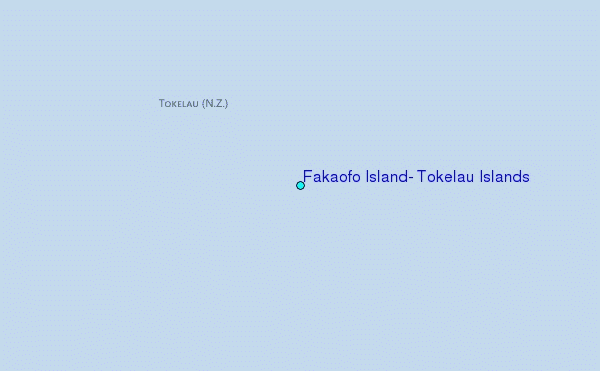