
| Distance / Altitude | Location | Report Date / Time | Live Weather | Wind | Gusts | Temp. | Visibility | Cloud |
|---|---|---|---|---|---|---|---|---|
| 28 km WSW / 193 m | Sangster/Montego Bay Airport (Jamaica) | 2026-03-09 19:00 local (2026/03/10 00:00 GMT) | - | light winds from the E (15 km/h at 80) | 26°C | 10.0 | few | |
| 75 km SW / 30 m | Negril (Jamaica) | 2026-03-09 19:15 local (2026/03/10 00:15 GMT) | dry | calm (0 km/h at 136) | 25°C | - | - - 0 | |
| 93 km SE / 76 m | Twickenham Park wx (Jamaica) | 2026-03-09 19:13 local (2026/03/10 00:13 GMT) | dry | calm (2 km/h at 66) | 23°C | - | - - 0 | |
| 112 km SE / 191 m | Kingston/Norman Manley International Airport (Jamaica) | 2026-03-09 20:00 local (2026/03/10 01:00 GMT) | - | light winds from the WNW (7 km/h at 290) | 25°C | - | - no observation - | |
| 134 km SE / 3 m | SHIP4957 (Marine) | 2026-03-09 18:00 local (2026/03/09 23:00 GMT) | - (- km/h at -) | 26°C | - | |||
| 134 km SE / 3 m | SHIP2535 (Marine) | 2026-03-09 18:00 local (2026/03/09 23:00 GMT) | - (- km/h at -) | 26°C | - | |||
| 134 km SE / 3 m | SHIP6369 (Marine) | 2026-03-09 18:00 local (2026/03/09 23:00 GMT) | - (- km/h at -) | 26°C | - | |||
| 134 km SE / 3 m | SHIP5886 (Marine) | 2026-03-09 18:00 local (2026/03/09 23:00 GMT) | - (- km/h at -) | 26°C | - | |||
| 134 km SE / 3 m | SHIP7390 (Marine) | 2026-03-09 18:00 local (2026/03/09 23:00 GMT) | - (- km/h at -) | 26°C | - | |||
| 134 km SE / 15 m | SHIP8152 (Marine) | 2026-03-09 18:00 local (2026/03/09 23:00 GMT) | - (- km/h at -) | — | - km |
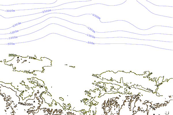
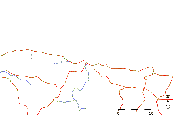
| Contours: | Roads & Rivers: | Select a
tide station / surf break / city |
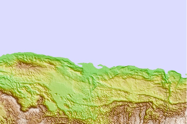
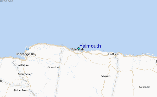
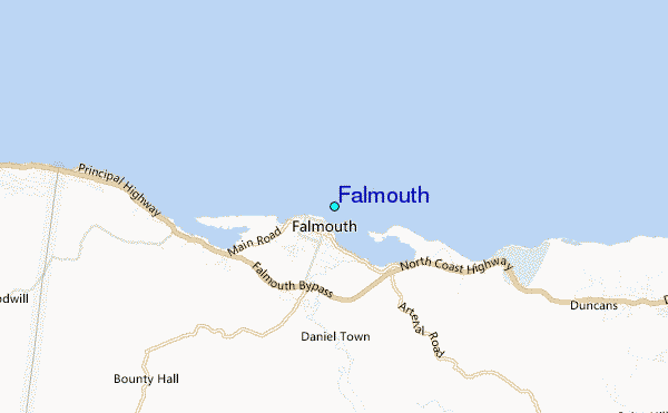
Use this relief map to navigate to tide stations, surf breaks and cities that are in the area of Falmouth.
Other Nearby Locations' tide tables and tide charts to Falmouth:
click location name for more details
 Surf breaks close to Falmouth:
|
||
|---|---|---|
| Closest surf break | Discovery Bay | 16 mi |
| Second closest surf break | Runaway Bay | 21 mi |
| Third closest surf break | Peenie Wally | 69 mi |
| Fourth closest surf break | Lighthouse 2 | 70 mi |
| Fifth closest surf break | Zoo (Bull Bay) | 72 mi |


 Nearest
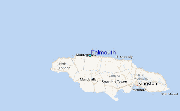