
| Distance / Altitude | Location | Report Date / Time | Live Weather | Wind | Gusts | Temp. | Visibility | Cloud |
|---|---|---|---|---|---|---|---|---|
| 24 km W / 3 m | Fentress- Naval Auxiliary Landing Field (United States) | 2026-06-08 22:58 local (2026/06/09 02:58 GMT) | Clear | calm (0 km/h at 0) | 13°C | 16 | ||
| 27 km S / 217 m | Currituck County Airport (NC) (United States) | 2026-06-08 23:35 local (2026/06/09 03:35 GMT) | Clear | light winds from the ENE (9 km/h at 60) | 17°C | 16 | ||
| 27 km NE / 3 m | SHIP4258 (Marine) | 2026-06-08 23:00 local (2026/06/09 03:00 GMT) | - (- km/h at -) | 17°C | - | |||
| 27 km NW / 217 m | Oceana Naval Air Station Airport (Virginia) | 2026-06-08 22:56 local (2026/06/09 02:56 GMT) | - | light winds from the E (9 km/h at 90) | 16°C | 16 | few | |
| 27 km NE / 3 m | SHIP6165 (Marine) | 2026-06-08 23:00 local (2026/06/09 03:00 GMT) | - (- km/h at -) | 17°C | - | |||
| 27 km NE / 15 m | SHIP3728 (Marine) | 2026-06-08 23:00 local (2026/06/09 03:00 GMT) | - (- km/h at -) | — | - km | |||
| 27 km NE / 15 m | SHIP2423 (Marine) | 2026-06-08 23:00 local (2026/06/09 03:00 GMT) | - (- km/h at -) | — | - km | |||
| 27 km NE / 3 m | SHIP2545 (Marine) | 2026-06-08 23:00 local (2026/06/09 03:00 GMT) | - (- km/h at -) | 17°C | - | |||
| 27 km NE / 15 m | SHIP6918 (Marine) | 2026-06-08 23:00 local (2026/06/09 03:00 GMT) | - (- km/h at -) | — | - km | |||
| 27 km NE / 3 m | SHIP5308 (Marine) | 2026-06-08 23:00 local (2026/06/09 03:00 GMT) | - (- km/h at -) | 17°C | - |
| Contours: | Roads & Rivers: | Select a
tide station / surf break / city |
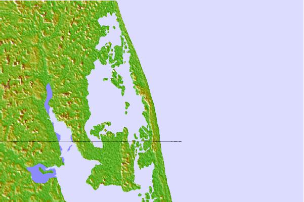
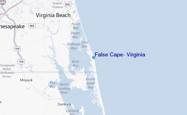
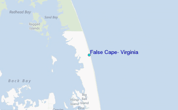
Use this relief map to navigate to tide stations, surf breaks and cities that are in the area of False Cape, Virginia.
Other Nearby Locations' tide tables and tide charts to False Cape, Virginia:
click location name for more details
 Surf breaks close to False Cape, Virginia:
|
||
|---|---|---|
| Closest surf break | Camp Pendleton | 12 mi |
| Second closest surf break | Croatan | 13 mi |
| Third closest surf break | Damneck Naval Base | 13 mi |
| Fourth closest surf break | 1st Street Jetty | 14 mi |
| Fifth closest surf break | Corolla Lighthouse | 16 mi |


 Nearest
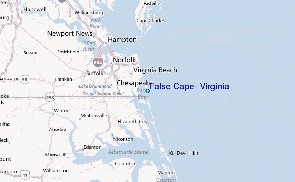