
| Distance / Altitude | Location | Report Date / Time | Live Weather | Wind | Gusts | Temp. | Visibility | Cloud |
|---|---|---|---|---|---|---|---|---|
| 6 km WNW / 5 m | Tyndall Drone Airport (Florida) | 2025-12-26 01:55 local (2025/12/26 07:55 GMT) | Clear | light winds from the WNW (9 km/h at 290) | — | 16 | ||
| 11 km W / 215 m | Tyndall Air Force Base Airport (Florida) | 2025-12-26 01:55 local (2025/12/26 07:55 GMT) | Clear | light winds from the WNW (7 km/h at 300) | 16°C | 16 | ||
| 16 km WNW / 1 m | Parker wx (United States) | 2025-12-26 03:35 local (2025/12/26 09:35 GMT) | dry | calm (3 km/h at 352) | 17°C | - | - - 0 | |
| 22 km WNW / 8 m | Panama City (Florida) | 2025-12-26 03:43 local (2025/12/26 09:43 GMT) | dry | calm (5 km/h at 277) | 17°C | - | - - 0 | |
| 24 km WNW / 3 m | BUOY-PACF1 (Marine) | 2025-12-26 03:00 local (2025/12/26 09:00 GMT) | light winds from the WNW (15 km/h at 290) | — | - | |||
| 26 km NW / 4 m | Bayou George wx (United States) | 2025-12-26 03:17 local (2025/12/26 09:17 GMT) | dry | calm (3 km/h at 290) | 16°C | - | - - 0 | |
| 27 km WNW / 10 m | Dirego Park wx (United States) | 2025-12-26 03:09 local (2025/12/26 09:09 GMT) | dry | calm (2 km/h at 257) | 16°C | - | - - 0 | |
| 28 km WNW / 8 m | Pretty Bayou wx (United States) | 2025-12-26 03:15 local (2025/12/26 09:15 GMT) | dry | calm (2 km/h at 278) | 16°C | - | - - 0 | |
| 29 km W / 1 m | Magnolia Beach wx (United States) | 2025-12-26 03:28 local (2025/12/26 09:28 GMT) | dry | calm (2 km/h at 237) | 16°C | - | - - 0 | |
| 31 km WNW / -0 m | Panama City (Florida) | 2025-12-26 03:21 local (2025/12/26 09:21 GMT) | dry | calm (0 km/h at 42) | 16°C | - | - - 0 |
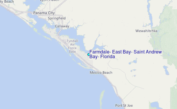
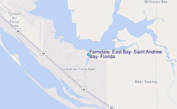
Choose Farmdale, East Bay, Saint Andrew Bay, Florida Location Map Zoom:
| Contours: | Roads & Rivers: | Select a
tide station / surf break / city |
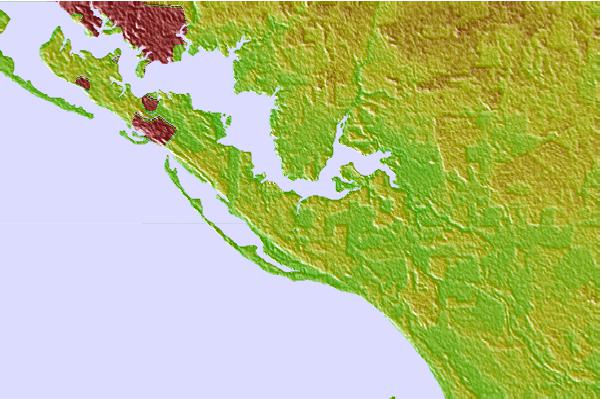

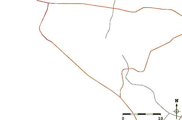
Use this relief map to navigate to tide stations, surf breaks and cities that are in the area of Farmdale, East Bay, Saint Andrew Bay, Florida.
Other Nearby Locations' tide tables and tide charts to Farmdale, East Bay, Saint Andrew Bay, Florida:
click location name for more details
 Surf breaks close to Farmdale, East Bay, Saint Andrew Bay, Florida:
|
||
|---|---|---|
| Closest surf break | Shell Island | 15 mi |
| Second closest surf break | The Pass | 17 mi |
| Third closest surf break | St Andrews State Park | 19 mi |
| Fourth closest surf break | Panama City Beach | 21 mi |
| Fifth closest surf break | Panama City Pier | 22 mi |


 Nearest
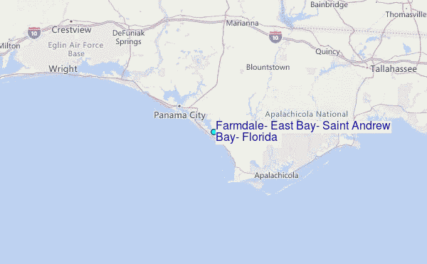