
| Distance / Altitude | Location | Report Date / Time | Live Weather | Wind | Gusts | Temp. | Visibility | Cloud |
|---|---|---|---|---|---|---|---|---|
| 1 km W / 3 m | BUOY-NBLP1 (Marine) | 2025-12-25 20:18 local (2025/12/26 01:18 GMT) | light winds from the NNW (13 km/h at 330) | — | - | |||
| 13 km SW / 3 m | BUOY-BDRN4 (Marine) | 2025-12-25 19:36 local (2025/12/26 00:36 GMT) | light winds from the N (11 km/h at 360) | 3°C | - | |||
| 18 km NW / 218 m | Trenton Airport (New Jersey) | 2025-12-25 18:53 local (2025/12/25 23:53 GMT) | Clear | moderate winds from the NNW (26 km/h at 340) | 2°C | 16 | ||
| 19 km SE / 218 m | Wrightst/Mcguire Airport (New Jersey) | 2025-12-25 18:55 local (2025/12/25 23:55 GMT) | Clear | light winds from the NNW (17 km/h at 340) | 4°C | 16 | ||
| 20 km WSW / 58 m | Siles wx (United States) | 2025-12-25 20:46 local (2025/12/26 01:46 GMT) | - | light winds from the N (6 km/h at 5) | — | - | - - 0 | |
| 23 km W / 205 m | Holland (Pennsylvania) | 2025-12-25 20:08 local (2025/12/26 01:08 GMT) | - | calm (2 km/h at 41) | 1°C | - | - - 0 | |
| 24 km S / 218 m | Mount Holly Airport (New Jersey) | 2025-12-25 18:54 local (2025/12/25 23:54 GMT) | Clear | moderate winds from the N (20 km/h at 350) | 4°C | 16 | ||
| 25 km WNW / 380 m | Newtown (Pennsylvania) | 2025-12-25 20:41 local (2025/12/26 01:41 GMT) | - | calm (0 km/h at 286) | — | - | - - 0 | |
| 25 km SW / 217 m | Philadelphia/ne Airport (Pennsylvania) | 2025-12-25 18:54 local (2025/12/25 23:54 GMT) | Clear | fresh winds from the NNW (31 km/h at 340) | 4°C | 16 | ||
| 26 km SW / 19 m | Philadelphia (Pennsylvania) | 2025-12-25 20:07 local (2025/12/26 01:07 GMT) | - | light winds from the NW (13 km/h at 316) | 2°C | - | - - 0 |

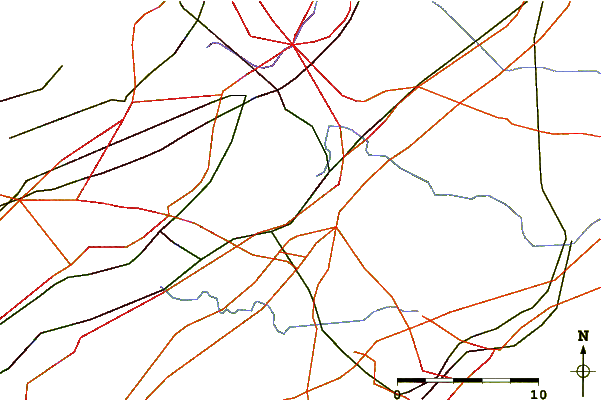
| Contours: | Roads & Rivers: | Select a
tide station / surf break / city |
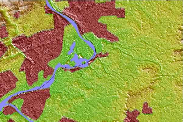
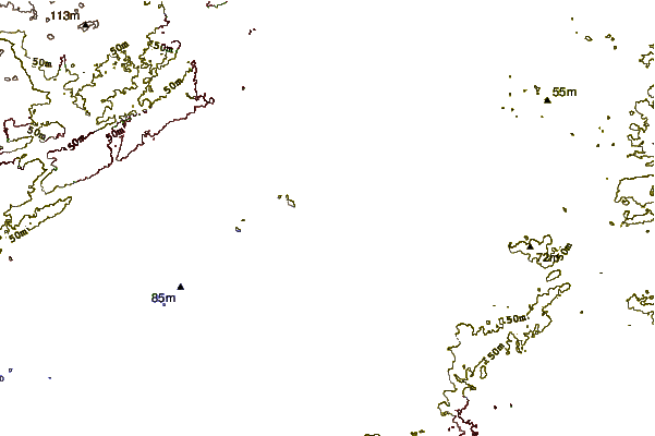
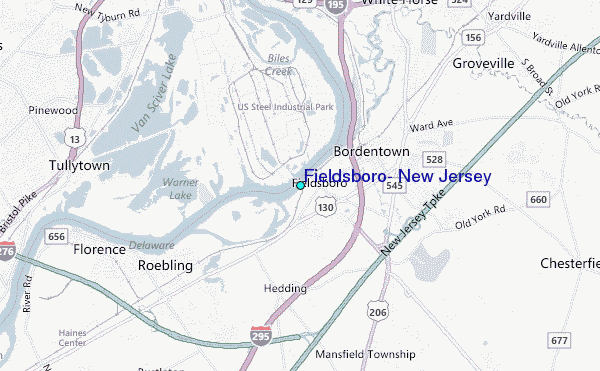
Use this relief map to navigate to tide stations, surf breaks and cities that are in the area of Fieldsboro, New Jersey.
Other Nearby Locations' tide tables and tide charts to Fieldsboro, New Jersey:
click location name for more details
 Surf breaks close to Fieldsboro, New Jersey:
|
||
|---|---|---|
| Closest surf break | Bay Head | 37 mi |
| Second closest surf break | Brick Beach | 37 mi |
| Third closest surf break | Jenkinsons (Point Pleasant Beach) | 37 mi |
| Fourth closest surf break | Lavallette | 37 mi |
| Fifth closest surf break | Manasquan Inlet | 37 mi |


 Nearest
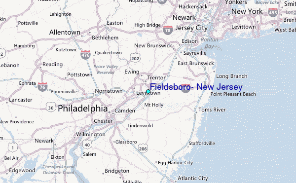