
| Distance / Altitude | Location | Report Date / Time | Live Weather | Wind | Gusts | Temp. | Visibility | Cloud |
|---|---|---|---|---|---|---|---|---|
| 7 km N / 46 m | Scow Bay wx (United States) | 2025-12-24 03:33 local (2025/12/24 12:33 GMT) | - | calm (0 km/h at 202) | -14°C | - | - - 0 | |
| 15 km N / 216 m | Petersburg Airport (Alaska) | 2025-12-24 03:08 local (2025/12/24 12:08 GMT) | Mist - | wind obs. (7 kph from 250 degs) was rejected (- km/h at -) | -17°C | 6 | scattered | |
| 24 km N / 3 m | SHIP5886 (Marine) | 2025-12-24 03:00 local (2025/12/24 12:00 GMT) | moderate winds from the SSE (24 km/h at 160) | -9°C | - | |||
| 42 km ESE / 215 m | Wrangell Airport (Alaska) | 2025-12-24 01:56 local (2025/12/24 10:56 GMT) | - | light winds from the E (19 km/h at 80) | — | 16 | broken overcast broken | |
| 42 km SE / 3 m | BUOY-WGXA2 (Marine) | 2025-12-24 03:32 local (2025/12/24 12:32 GMT) | light winds from the NNW (8 km/h at 340) | -8°C | - | |||
| 42 km SE / 3 m | BUOY-WGXA2 (Marine) | 2025-12-24 03:32 local (2025/12/24 12:32 GMT) | light winds from the NNW (8 km/h at 340) | -8°C | - | |||
| 51 km NW / 15 m | SHIP4555 (Marine) | 2025-12-24 02:00 local (2025/12/24 11:00 GMT) | moderate winds from the ENE (20.52 km/h at 60) | — | - km | |||
| 51 km NW / 15 m | SHIP6270 (Marine) | 2025-12-24 02:00 local (2025/12/24 11:00 GMT) | moderate winds from the ENE (20.52 km/h at 60) | — | - km | |||
| 54 km NW / 15 m | SHIP3291 (Marine) | 2025-12-24 02:00 local (2025/12/24 11:00 GMT) | light winds from the ESE (14.76 km/h at 110) | — | - km | |||
| 55 km SE / 243 m | Thoms Place wx (United States) | 2025-12-24 03:04 local (2025/12/24 12:04 GMT) | - | wind obs. (37 kph from 91 degs) was rejected (- km/h at -) | — | - | - - 0 |
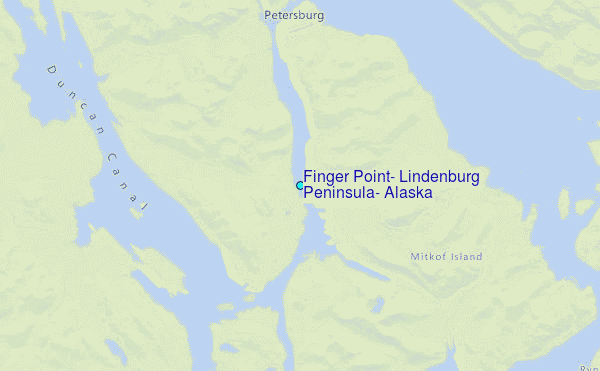
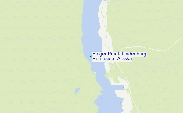
Choose Finger Point, Lindenburg Peninsula, Alaska Location Map Zoom:
| Contours: | Roads & Rivers: | Select a
tide station / surf break / city |
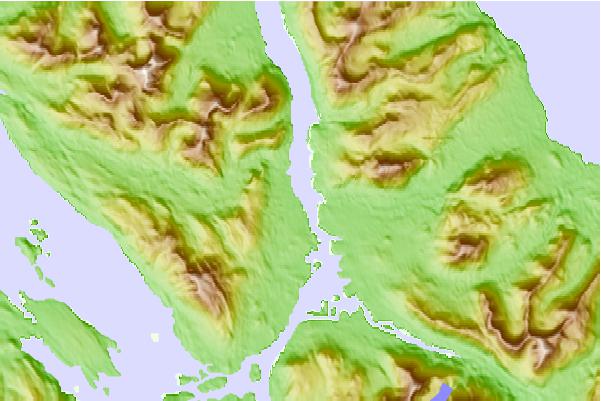
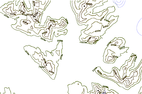
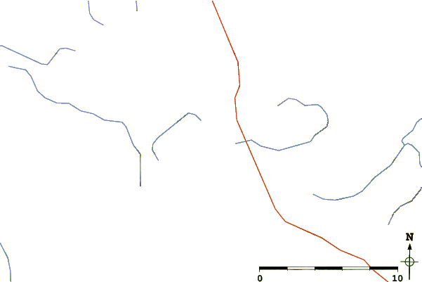
Use this relief map to navigate to tide stations, surf breaks and cities that are in the area of Finger Point, Lindenburg Peninsula, Alaska.
Other Nearby Locations' tide tables and tide charts to Finger Point, Lindenburg Peninsula, Alaska:
click location name for more details
 Surf breaks close to Finger Point, Lindenburg Peninsula, Alaska:
|
||
|---|---|---|
| Closest surf break | Lepus Beach (Haida-Gwaii) | 174 mi |
| Second closest surf break | Tow Hill Beach | 186 mi |
| Third closest surf break | Cannon Beach | 316 mi |
| Fourth closest surf break | Graveyards | 319 mi |
| Fifth closest surf break | Ocean Cape | 321 mi |


 Nearest
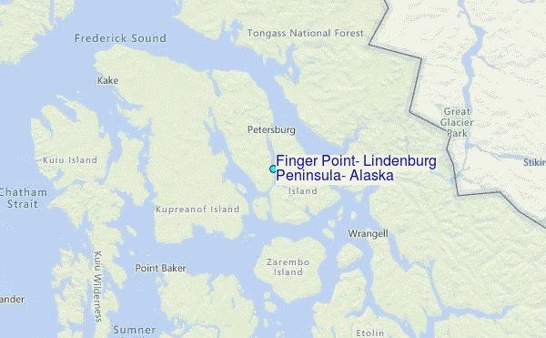