
| Distance / Altitude | Location | Report Date / Time | Live Weather | Wind | Gusts | Temp. | Visibility | Cloud |
|---|---|---|---|---|---|---|---|---|
| 125 km WSW / 70 m | Nadzab (Papua New Guinea) | 2026-02-22 07:00 local (2026/02/21 21:00 GMT) | rain | - (- km/h at -) | 25°C | 30 | - - - | |
| 147 km W / 69 m | Mount Hagen Airport (Papua New Guinea) | 2026-02-22 08:00 local (2026/02/21 22:00 GMT) | Dry and partly cloudy | calm (4 km/h at 1) | 18°C | 10.0 | scattered | |
| 279 km WSW / 1587 m | Goroka Highlands Airport (Papua-New Guinea) | 2026-02-22 07:00 local (2026/02/21 21:00 GMT) | visibility reduced by smoke | - (- km/h at -) | 22°C | 30 | - | |
| 321 km S / 48 m | Port Moresby (Papua New Guinea) | 2026-02-22 07:00 local (2026/02/21 21:00 GMT) | haze | wind obs. (30 kph from 160 degs) was rejected (- km/h at -) | 26°C | 20 | - - - | |
| 379 km S / 0 m | lightning 118km W of Port Moresby (Papua New Guinea) | 2026-02-22 09:48 local (2026/02/21 23:48 GMT) | Thunderstorm | (- km/h at -) | — | |||
| 498 km SSE / 23 m | Gurney (Papua New Guinea) | 2026-02-22 07:00 local (2026/02/21 21:00 GMT) | distant precipitation but not falling at station | - (- km/h at -) | 26°C | 30 | - - - | |
| 516 km ESE / 15 m | ASCATB152E7S (Marine) | 2026-02-22 08:12 local (2026/02/21 22:12 GMT) | calm (5 km/h at 4) | — | - km | |||
| 517 km ESE / 15 m | ASCATB152E8S (Marine) | 2026-02-22 08:13 local (2026/02/21 22:13 GMT) | light winds from the NNE (6 km/h at 11) | — | - km | |||
| 537 km E / 15 m | ASCATB153E6S (Marine) | 2026-02-22 08:12 local (2026/02/21 22:12 GMT) | light winds from the NNE (14 km/h at 26) | — | - km | |||
| 541 km ESE / 15 m | ASCATB153E7S (Marine) | 2026-02-22 08:12 local (2026/02/21 22:12 GMT) | calm (4 km/h at 17) | — | - km |
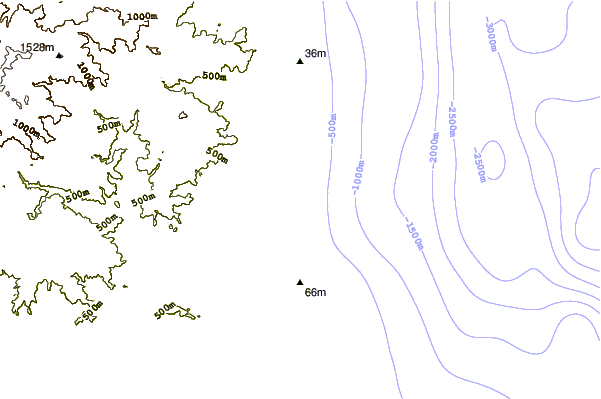
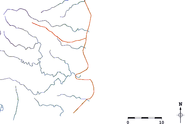
| Contours: | Roads & Rivers: | Select a
tide station / surf break / city |

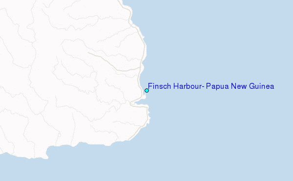
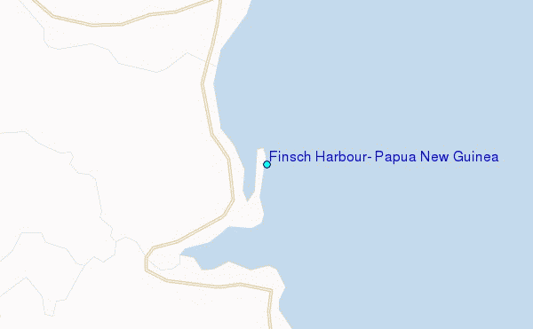
Use this relief map to navigate to tide stations, surf breaks and cities that are in the area of Finsch Harbour, Papua New Guinea.
Other Nearby Locations' tide tables and tide charts to Finsch Harbour, Papua New Guinea:
click location name for more details
 Surf breaks close to Finsch Harbour, Papua New Guinea:
|
||
|---|---|---|
| Closest surf break | Tupira Right | 221 mi |
| Second closest surf break | Edmago | 334 mi |
| Third closest surf break | Nago | 339 mi |
| Fourth closest surf break | Long Long | 340 mi |
| Fifth closest surf break | Nusa | 341 mi |


 Nearest
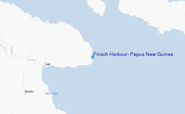