
| Distance / Altitude | Location | Report Date / Time | Live Weather | Wind | Gusts | Temp. | Visibility | Cloud |
|---|---|---|---|---|---|---|---|---|
| 42 km N / 15 m | ASCATB144E14S (Marine) | 2026-05-04 08:50 local (2026/05/03 22:50 GMT) | fresh winds from the SE (34 km/h at 127) | — | - km | |||
| 46 km N / 15 m | ASCATC144E14S (Marine) | 2026-05-04 09:21 local (2026/05/03 23:21 GMT) | fresh winds from the SE (35 km/h at 125) | — | - km | |||
| 77 km NNE / 15 m | ASCATB144E13S (Marine) | 2026-05-04 08:49 local (2026/05/03 22:49 GMT) | strong winds from the SE (39 km/h at 130) | — | - km | |||
| 91 km NW / 15 m | ASCATC144E13S (Marine) | 2026-05-04 09:21 local (2026/05/03 23:21 GMT) | fresh winds from the SE (35 km/h at 129) | — | - km | |||
| 92 km NNE / 15 m | ASCATB145E13S (Marine) | 2026-05-04 08:49 local (2026/05/03 22:49 GMT) | strong winds from the SE (40 km/h at 131) | — | - km | |||
| 95 km NNE / 15 m | ASCATC145E13S (Marine) | 2026-05-04 09:21 local (2026/05/03 23:21 GMT) | strong winds from the SE (39 km/h at 128) | — | - km | |||
| 97 km E / 15 m | ASCATB145E14S (Marine) | 2026-05-04 08:50 local (2026/05/03 22:50 GMT) | fresh winds from the SE (38 km/h at 135) | — | - km | |||
| 123 km W / 244 m | Coen Airport (Australia) | 2026-05-04 11:00 local (2026/05/04 01:00 GMT) | - | light winds from the ENE (13 km/h at 60) | 29°C | - | no observation | |
| 123 km W / 244 m | Coen Airport (Australia) | 2026-05-04 10:00 local (2026/05/04 00:00 GMT) | no report | wind obs. (7 kph from 60 degs) was rejected (- km/h at -) | 18°C | - | - no observation - | |
| 146 km ESE / 15 m | ASCATC145E14S (Marine) | 2026-05-04 09:21 local (2026/05/03 23:21 GMT) | fresh winds from the SE (32 km/h at 136) | — | - km |
| Contours: | Roads & Rivers: | Select a
tide station / surf break / city |
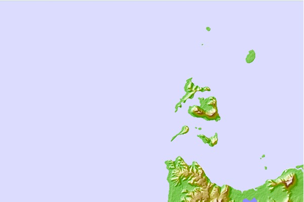
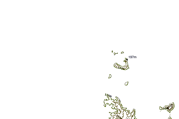
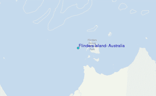
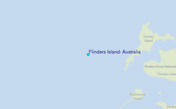
Use this relief map to navigate to tide stations, surf breaks and cities that are in the area of Flinders Island, Australia.
Other Nearby Locations' tide tables and tide charts to Flinders Island, Australia:
click location name for more details
 Surf breaks close to Flinders Island, Australia:
|
||
|---|---|---|
| Closest surf break | Eimeo Point | 578 mi |
| Second closest surf break | Dolphin Heads | 579 mi |
| Third closest surf break | Lamberts Beach | 582 mi |
| Fourth closest surf break | North Wall Mackay Harbour Beach | 584 mi |
| Fifth closest surf break | South Wall Mackay Harbour | 585 mi |


 Nearest
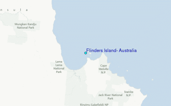