
| Distance / Altitude | Location | Report Date / Time | Live Weather | Wind | Gusts | Temp. | Visibility | Cloud |
|---|---|---|---|---|---|---|---|---|
| 12 km SE / 14 m | HawardenAirport (United Kingdom) | 2026-01-30 01:00 local (2026/01/30 01:00 GMT) | Mist | moderate winds from the ESE (26 km/h at 120) | 4°C | 28 km | overcast | |
| 16 km N / 33 m | Wirral (United Kingdom) | 2026-01-30 00:14 local (2026/01/30 00:14 GMT) | dry | light winds from the ESE (11 km/h at 108) | 4°C | - | - - 0 | |
| 19 km NNE / 15 m | SHIP4767 (Marine) | 2026-01-29 23:00 local (2026/01/29 23:00 GMT) | - (- km/h at -) | — | - km | |||
| 20 km ENE / 220 m | Liverpool Airport (United Kingdom) | 2026-01-30 00:20 local (2026/01/30 00:20 GMT) | Dry and partly cloudy | fresh winds from the E (33 km/h at 100) | 4°C | 10.0 | broken | |
| 20 km WSW / 73 m | Trefnant wx (United Kingdom) | 2026-01-30 00:43 local (2026/01/30 00:43 GMT) | dry | light winds from the ESE (8 km/h at 102) | 4°C | - | - - 0 | |
| 19 km NNE / 15 m | SHIP2535 (Marine) | 2026-01-30 00:00 local (2026/01/30 00:00 GMT) | - (- km/h at -) | — | - km | |||
| 19 km NNE / 3 m | SHIP8920 (Marine) | 2026-01-29 23:00 local (2026/01/29 23:00 GMT) | - (- km/h at -) | 5°C | - | |||
| 19 km NNE / 3 m | SHIP1229 (Marine) | 2026-01-29 23:00 local (2026/01/29 23:00 GMT) | - (- km/h at -) | 5°C | - | |||
| 19 km NNE / 15 m | SHIP2840 (Marine) | 2026-01-29 23:00 local (2026/01/29 23:00 GMT) | - (- km/h at -) | — | - km | |||
| 19 km NNE / 15 m | SHIP3730 (Marine) | 2026-01-29 23:00 local (2026/01/29 23:00 GMT) | - (- km/h at -) | — | - km |
| Contours: | Roads & Rivers: | Select a
tide station / surf break / city |
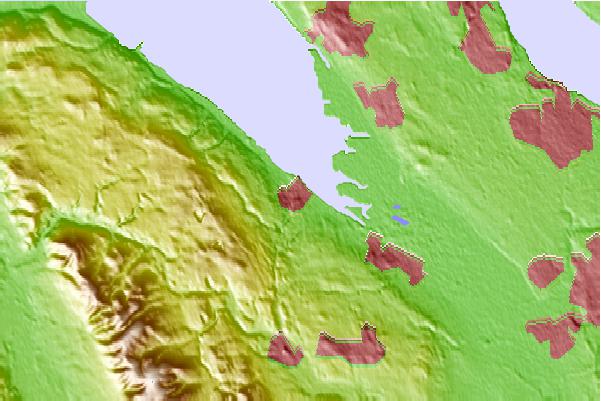
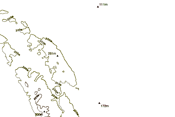

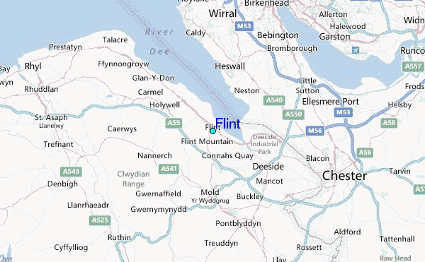
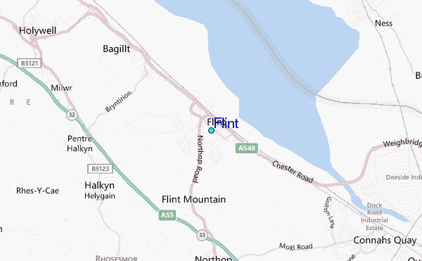
Use this relief map to navigate to tide stations, surf breaks and cities that are in the area of Flint.
Other Nearby Locations' tide tables and tide charts to Flint:
click location name for more details
 Surf breaks close to Flint:
|
||
|---|---|---|
| Closest surf break | Llanddulas Breakwater | 21 mi |
| Second closest surf break | Rhos-On-Sea | 25 mi |
| Third closest surf break | Llandudno | 29 mi |
| Fourth closest surf break | Benllech Bay | 45 mi |
| Fifth closest surf break | Traeth Lligwy | 47 mi |


 Nearest
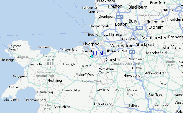