
| Distance / Altitude | Location | Report Date / Time | Live Weather | Wind | Gusts | Temp. | Visibility | Cloud |
|---|---|---|---|---|---|---|---|---|
| 27 km WSW / 21 m | Bauerfield Airport - Efate Island (Vanuatu) | 2025-12-24 20:00 local (2025/12/24 09:00 GMT) | Dry and partly cloudy | light winds from the E.(Wind varies from 030 to 120 degs) (7 km/h at 80) | 28°C | 10.0 | few scattered - | |
| 198 km S / 0 m | lightning 112km W of Isangel (Vanuatu) | 2025-12-24 19:35 local (2025/12/24 08:35 GMT) | Thunderstorm | (- km/h at -) | — | |||
| 208 km SSE / 6 m | Whitegrass Airport - Tanna (Vanuatu) | 2025-12-24 20:00 local (2025/12/24 09:00 GMT) | Lightning visible, no thunder heard | calm (0 km/h at 0) | 26°C | 20 km | few few - | |
| 272 km NW / 27 m | Saratmata (Vanuatu) | 2025-12-24 20:00 local (2025/12/24 09:00 GMT) | Clouds dissolving | calm (0 km/h at 0) | 28°C | 20 km | mostly cloudy | |
| 279 km NW / 44 m | PekoaAirport(Santo) (Vanuatu) | 2025-12-24 20:00 local (2025/12/24 09:00 GMT) | Clouds dissolving | light winds from the N (7 km/h at 360) | 26°C | 20 km | few | |
| 279 km NW / 44 m | Santo-Pekoa Airport (Vanuatu) | 2025-12-24 20:00 local (2025/12/24 09:00 GMT) | - | light winds from the N.(Wind varies from 230 to 030 degs) (7 km/h at 360) | 26°C | 10.0 | few | |
| 310 km SSE / 7 m | Aneityum (Vanuatu) | 2025-12-24 20:00 local (2025/12/24 09:00 GMT) | State of sky unchanged | calm (0 km/h at 0) | 25°C | 20 km | few | |
| 312 km SSE / 3 m | Bauerfield International Airport (Port Vila) (Vanuatu) | 2025-12-24 20:00 local (2025/12/24 09:00 GMT) | - | calm (0 km/h at 0) | 25°C | 10.0 | few | |
| 369 km S / 32 m | Ouanaham (Ile Lifou) (New Caledonia) | 2025-12-24 19:00 local (2025/12/24 08:00 GMT) | no report | wind obs. (11 kph from 140 degs) was rejected (- km/h at -) | 21°C | 60 | - | |
| 388 km S / 9 m | Ouloup (Ile Ouvea) (New Caledonia) | 2025-12-24 19:00 local (2025/12/24 08:00 GMT) | no report | light winds from the SE (18 km/h at 130) | 22°C | 20 | - - - |
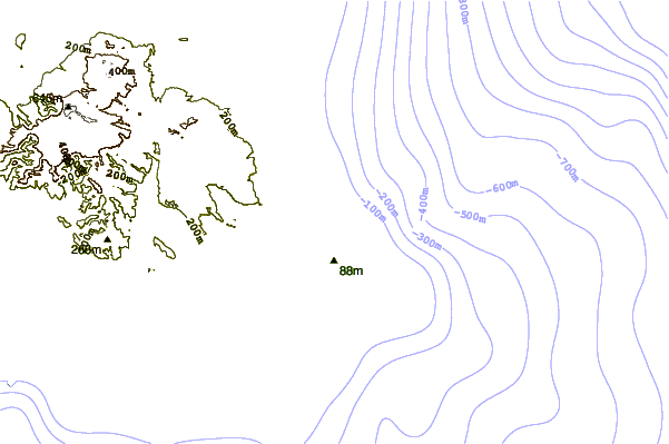
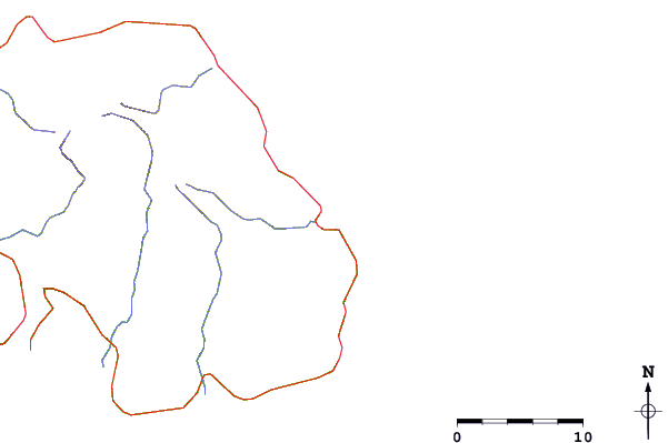
| Contours: | Roads & Rivers: | Select a
tide station / surf break / city |
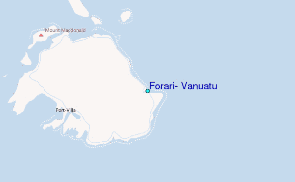
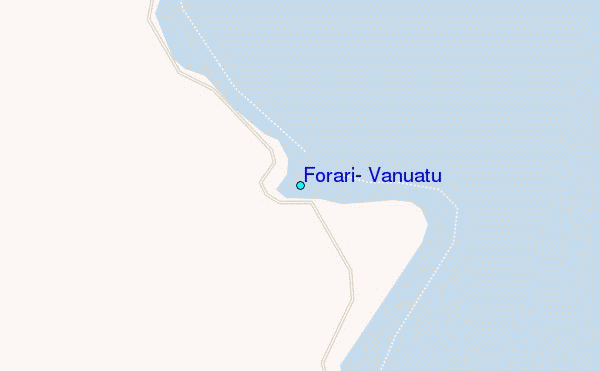
Use this relief map to navigate to tide stations, surf breaks and cities that are in the area of Forari, Vanuatu.
Other Nearby Locations' tide tables and tide charts to Forari, Vanuatu:
click location name for more details
 Surf breaks close to Forari, Vanuatu:
|
||
|---|---|---|
| Closest surf break | Forari Mine Lefts and Rights | 1 mi |
| Second closest surf break | White Cows | 4 mi |
| Third closest surf break | Bobs | 9 mi |
| Fourth closest surf break | Hopscotch | 9 mi |
| Fifth closest surf break | Soumabal Point | 11 mi |


 Nearest
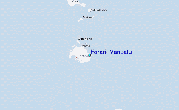