
| Distance / Altitude | Location | Report Date / Time | Live Weather | Wind | Gusts | Temp. | Visibility | Cloud |
|---|---|---|---|---|---|---|---|---|
| 18 km SSE / 150 m | Mendocino (California) | 2026-07-26 14:08 local (2026/07/26 21:08 GMT) | dry | calm (3 km/h at 135) | 23°C | - | - - 0 | |
| 19 km SSE / 122 m | Little River wx (United States) | 2026-07-26 14:24 local (2026/07/26 21:24 GMT) | dry | calm (2 km/h at 0) | 22°C | - | - - 0 | |
| 21 km SSE / 175 m | Little River (California) | 2026-07-26 13:35 local (2026/07/26 20:35 GMT) | - | moderate winds from the NW (28 km/h at 320) | 19°C | 16 | few | |
| 27 km SE / 388 m | Cameron wx (United States) | 2026-07-26 14:09 local (2026/07/26 21:09 GMT) | dry | calm (0 km/h at 243) | 24°C | - | - - 0 | |
| 28 km S / 3 m | PT Arena Buoy (Marine) | 2026-07-26 14:20 local (2026/07/26 21:20 GMT) | fresh winds from the NW (29 km/h at 320) | — | - | |||
| 33 km E / 785 m | Willits (California) | 2026-07-26 13:14 local (2026/07/26 20:14 GMT) | dry | calm (0 km/h at ) | 24°C | - | - - 0 | |
| 41 km E / 414 m | Willits (California) | 2026-07-26 13:28 local (2026/07/26 20:28 GMT) | dry | calm (0 km/h at 216) | 27°C | - | - - 0 | |
| 57 km SE / 85 m | Boonville (California) | 2026-07-26 14:04 local (2026/07/26 21:04 GMT) | dry | light winds from the W (16 km/h at 279) | 27°C | - | - - 0 | |
| 60 km S / 3 m | BUOY-ANVC1 (Marine) | 2026-07-26 14:00 local (2026/07/26 21:00 GMT) | light winds from the WNW (15 km/h at 300) | 18°C | - | |||
| 60 km SSE / 648 m | Manchester (California) | 2026-07-26 14:23 local (2026/07/26 21:23 GMT) | dry | calm (0 km/h at 0) | 24°C | - | - - 0 |
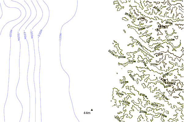
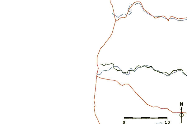
| Contours: | Roads & Rivers: | Select a
tide station / surf break / city |
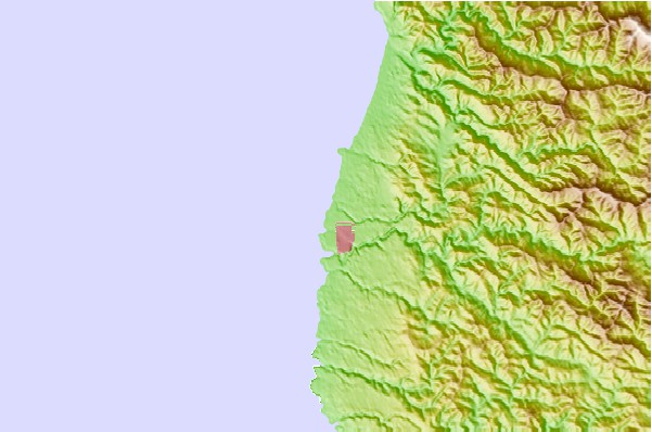
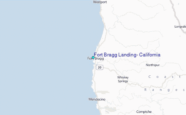
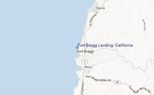
Use this relief map to navigate to tide stations, surf breaks and cities that are in the area of Fort Bragg Landing, California.
Other Nearby Locations' tide tables and tide charts to Fort Bragg Landing, California:
click location name for more details
 Surf breaks close to Fort Bragg Landing, California:
|
||
|---|---|---|
| Closest surf break | Virgin Creek | 2 mi |
| Second closest surf break | Hare Creek | 2 mi |
| Third closest surf break | Ward Avenue | 4 mi |
| Fourth closest surf break | Caspar Creek | 6 mi |
| Fifth closest surf break | Seaside Creek | 8 mi |


 Nearest
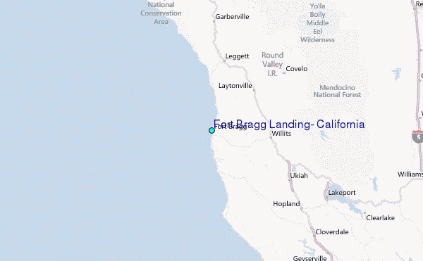