
| Distance / Altitude | Location | Report Date / Time | Live Weather | Wind | Gusts | Temp. | Visibility | Cloud |
|---|---|---|---|---|---|---|---|---|
| 84 km E / 64 m | Mao (Dominican Republic) | 2026-03-20 00:39 local (2026/03/20 04:39 GMT) | dry | light winds from the WNW (6 km/h at 300) | 22°C | - | - - 0 | |
| 122 km E / 209 m | Santiago International Airport (Dominican Republic) | 2026-03-20 00:00 local (2026/03/20 04:00 GMT) | Dry and partly cloudy | light winds from the ESE (7 km/h at 120) | 24°C | 10.0 | scattered | |
| 134 km E / 466 m | Puerto Plata IN Airport (Dominican Republic) | 2026-03-19 23:00 local (2026/03/20 03:00 GMT) | Dry and partly cloudy | calm (0 km/h at 0) | 24°C | 10.0 | scattered | |
| 152 km ESE / 200 m | Los Zanjón wx (Dominican Republic) | 2026-03-20 00:11 local (2026/03/20 04:11 GMT) | dry | calm (2 km/h at 293) | 23°C | - | - - 0 | |
| 230 km ESE / 30 m | La Isabela International Airport (Dominican republic) | 2026-03-19 23:00 local (2026/03/20 03:00 GMT) | Dry and partly cloudy | calm (0 km/h at 0) | 22°C | 10.0 | scattered | |
| 237 km N / 1 m | Kingston wx (Turks and Caicos Islands) | 2026-03-20 00:40 local (2026/03/20 04:40 GMT) | dry | calm (0 km/h at 0) | 22°C | - | - - 0 | |
| 249 km ESE / 41 m | Ensanche Savica de Mendoza wx (Dominican Republic) | 2026-03-20 00:45 local (2026/03/20 04:45 GMT) | dry | - (- km/h at ) | — | - | - - 0 | |
| 252 km N / 0 m | Sandy Point (Turks and Caicos Islands) | 2026-03-20 00:00 local (2026/03/20 04:00 GMT) | dry | calm (0 km/h at 264) | 22°C | - | - - 0 | |
| 257 km S / 3 m | SHIP2707 (Marine) | 2026-03-20 00:00 local (2026/03/20 04:00 GMT) | - (- km/h at -) | 26°C | - | |||
| 257 km S / 3 m | SHIP6943 (Marine) | 2026-03-20 00:00 local (2026/03/20 04:00 GMT) | - (- km/h at -) | 26°C | - |
| Contours: | Roads & Rivers: | Select a
tide station / surf break / city |
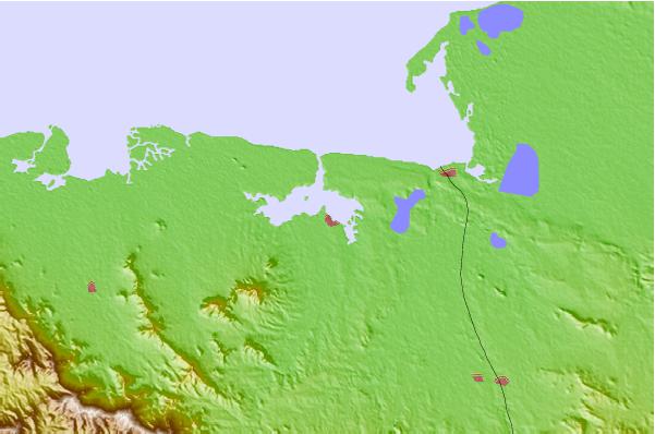
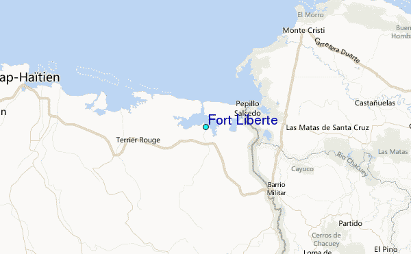
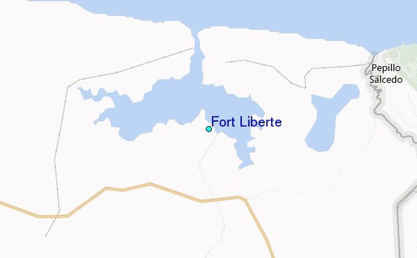
Use this relief map to navigate to tide stations, surf breaks and cities that are in the area of Fort Liberte.
Other Nearby Locations' tide tables and tide charts to Fort Liberte:
click location name for more details
 Surf breaks close to Fort Liberte:
|
||
|---|---|---|
| Closest surf break | Tea Break | 72 mi |
| Second closest surf break | Coffee Break | 75 mi |
| Third closest surf break | La Puntilla (Puerto Plata) | 75 mi |
| Fourth closest surf break | El Canal | 86 mi |
| Fifth closest surf break | Encuentro | 86 mi |


 Nearest
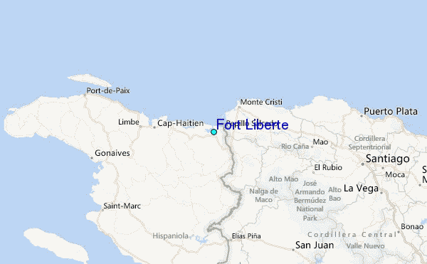