
| Distance / Altitude | Location | Report Date / Time | Live Weather | Wind | Gusts | Temp. | Visibility | Cloud |
|---|---|---|---|---|---|---|---|---|
| 11 km E / 600 m | Cazadero (California) | 2026-04-01 03:21 local (2026/04/01 10:21 GMT) | dry | calm (0 km/h at 88) | 11°C | - | - - 0 | |
| 21 km ESE / 76 m | Monte Rio wx (United States) | 2026-04-01 03:27 local (2026/04/01 10:27 GMT) | dry | calm (0 km/h at 89) | — | - | - - 0 | |
| 22 km SE / 102.4 m | Bodega Bay (California) | 2026-04-01 03:50 local (2026/04/01 10:50 GMT) | dry | calm (0 km/h at 205) | 12°C | - | - - 0 | |
| 27 km SE / 3 m | BUOY-BDXC1 (Marine) | 2026-04-01 02:56 local (2026/04/01 09:56 GMT) | - (- km/h at -) | — | - | |||
| 28 km ESE / 298 m | Occidental (California) | 2026-04-01 03:19 local (2026/04/01 10:19 GMT) | dry | calm (2 km/h at 214) | 11°C | - | - - 0 | |
| 30 km ESE / 61 m | Camp Meeker wx (United States) | 2026-04-01 02:26 local (2026/04/01 09:26 GMT) | dry | calm (0 km/h at 68) | 11°C | - | - - 0 | |
| 30 km ESE / 61 m | Camp Meeker wx (United States) | 2026-04-01 03:40 local (2026/04/01 10:40 GMT) | dry | calm (0 km/h at 286) | 11°C | - | - - 0 | |
| 31 km S / 3 m | Bodega Bay Buoy (Marine) | 2026-04-01 03:10 local (2026/04/01 10:10 GMT) | light winds from the SSE (7 km/h at 150) | 12°C | - | |||
| 32 km ESE / 87 m | Graton (California) | 2026-04-01 03:46 local (2026/04/01 10:46 GMT) | dry | calm (0 km/h at 34) | 11°C | - | - - 0 | |
| 33 km ESE / 129 m | Sebastopol (California) | 2026-04-01 03:05 local (2026/04/01 10:05 GMT) | dry | calm (0 km/h at 333) | 12°C | - | - - 0 |
| Contours: | Roads & Rivers: | Select a
tide station / surf break / city |
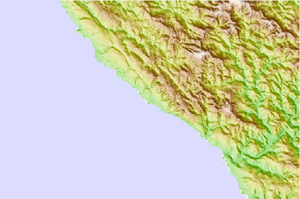
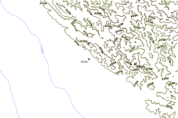
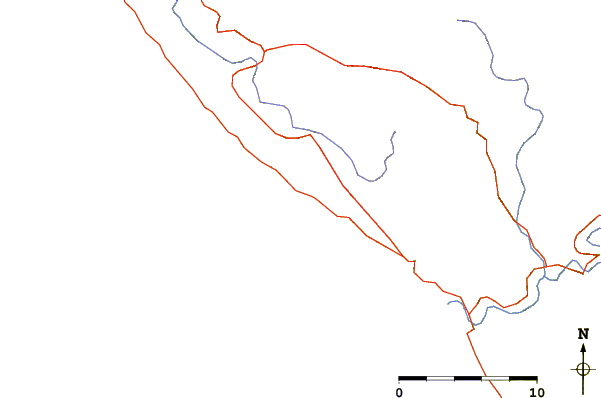
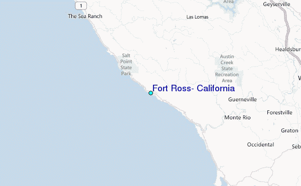
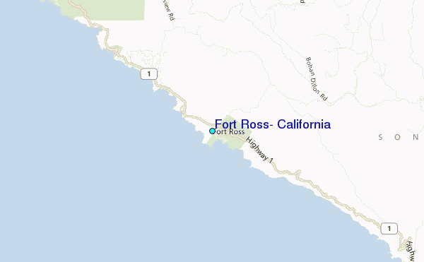
Use this relief map to navigate to tide stations, surf breaks and cities that are in the area of Fort Ross, California.
Other Nearby Locations' tide tables and tide charts to Fort Ross, California:
click location name for more details
 Surf breaks close to Fort Ross, California:
|
||
|---|---|---|
| Closest surf break | Mystos | 1 mi |
| Second closest surf break | The Fort | 1 mi |
| Third closest surf break | Bill's Bowls | 1 mi |
| Fourth closest surf break | Timber Cove | 2 mi |
| Fifth closest surf break | Russian Rivermouth | 8 mi |


 Nearest
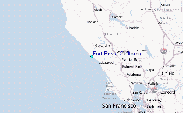