
| Distance / Altitude | Location | Report Date / Time | Live Weather | Wind | Gusts | Temp. | Visibility | Cloud |
|---|---|---|---|---|---|---|---|---|
| 13 km S / 41 m | Dix Hills (New York) | 2026-06-24 00:24 local (2026/06/24 04:24 GMT) | dry | calm (0 km/h at 203) | 17°C | - | - - 0 | |
| 13 km S / 283 m | Brookhaven Lab Airport (New York) | 2026-06-24 00:35 local (2026/06/24 04:35 GMT) | Dry and cloudy | calm (0 km/h at 0) | 23°C | 16 | overcast | |
| 21 km SE / 218 m | Islip Airport (New York) | 2026-06-23 23:56 local (2026/06/24 03:56 GMT) | Dry and partly cloudy | light winds from the NW (7 km/h at 320) | 18°C | 16 | few broken | |
| 22 km S / 218 m | Farmingdale Airport (New York) | 2026-06-23 23:53 local (2026/06/24 03:53 GMT) | Clear | light winds from the WNW (7 km/h at 290) | 18°C | 16 | ||
| 25 km S / 22 m | Farmingdale (New York) | 2026-06-24 00:35 local (2026/06/24 04:35 GMT) | dry | calm (0 km/h at 111) | 23°C | - | - - 0 | |
| 30 km SE / 3 m | BUOY-44069 (Marine) | 2026-06-24 01:00 local (2026/06/24 05:00 GMT) | light winds from the NW (18 km/h at 320) | 20°C | - | |||
| 30 km NNE / 3 m | BUOY-BRHC3 (Marine) | 2026-06-24 00:48 local (2026/06/24 04:48 GMT) | calm (4 km/h at 350) | — | - | |||
| 32 km NNE / 200 m | Bridgeport Airport (Connecticut) | 2026-06-23 23:52 local (2026/06/24 03:52 GMT) | Clear | calm (0 km/h at 0) | 18°C | 16 | ||
| 38 km W / 218 m | White Plains Airport (New York) | 2026-06-23 23:56 local (2026/06/24 03:56 GMT) | Clear | light winds from the NW (9 km/h at 320) | 17°C | 16 | ||
| 38 km ESE / 217 m | Shirley Airport (New York) | 2026-06-23 23:56 local (2026/06/24 03:56 GMT) | Clear | calm (0 km/h at 0) | 18°C | 16 |
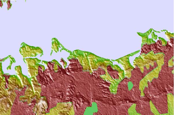
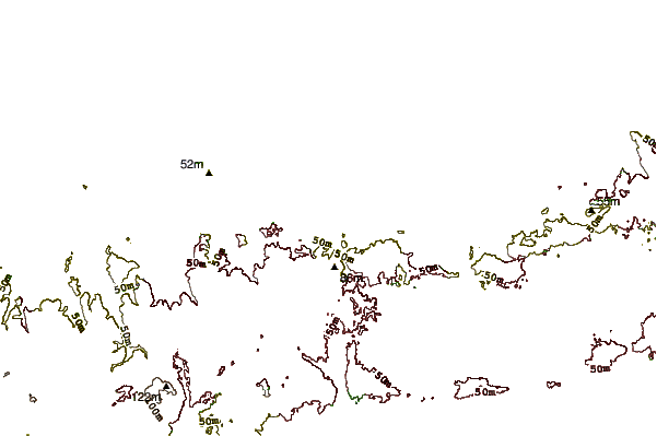
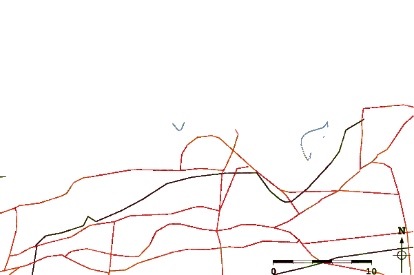
| Contours: | Roads & Rivers: | Select a
tide station / surf break / city |
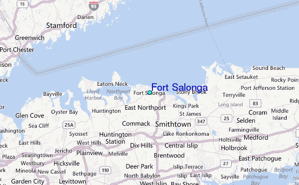
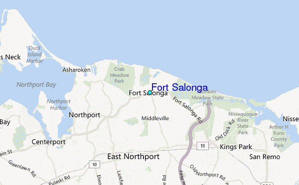
Use this relief map to navigate to tide stations, surf breaks and cities that are in the area of Fort Salonga.
Other Nearby Locations' tide tables and tide charts to Fort Salonga:
click location name for more details
 Surf breaks close to Fort Salonga:
|
||
|---|---|---|
| Closest surf break | Coastguards | 19 mi |
| Second closest surf break | Democrat Point Robert Moses | 21 mi |
| Third closest surf break | Point o Woods | 21 mi |
| Fourth closest surf break | Robert Moses State Park | 21 mi |
| Fifth closest surf break | Gilgo | 21 mi |


 Nearest
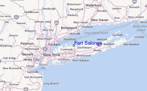