
| Distance / Altitude | Location | Report Date / Time | Live Weather | Wind | Gusts | Temp. | Visibility | Cloud |
|---|---|---|---|---|---|---|---|---|
| 69 km NE / 111 m | Captain Arturo Prat Base (Antarctica (ay)) | 2025-12-25 18:00 local (2025/12/25 21:00 GMT) | State of sky unchanged | moderate winds from the ESE (28 km/h at 120) | -1°C | 30 km | overcast | |
| 118 km NE / 48 m | CentroMet.Antártico Presidente Eduardo Frei (Antarctica) | 2025-12-25 18:00 local (2025/12/25 21:00 GMT) | State of sky unchanged | strong winds from the ESE (48 km/h at 120) | -2°C | 30 km | - mostly cloudy - | |
| 119 km NE / 45 m | Teniente R. Marsh Airport (Chile) | 2025-12-25 17:00 local (2025/12/25 20:00 GMT) | Dry and partly cloudy | strong winds from the ESE (44 km/h at 110) | -1°C | 10.0 | broken | |
| 126 km NE / 52 m | Dinamet (Antarctica (ay)) | 2025-12-25 18:00 local (2025/12/25 21:00 GMT) | no report | wind obs. (22 kph from 300 degs) was rejected (- km/h at -) | -3°C | - | - | |
| 127 km NE / 11 m | BaseCarlini (Antarctica) | 2025-12-25 18:00 local (2025/12/25 21:00 GMT) | - | fresh winds from the ESE (33 km/h at 120) | 0°C | 30 km | - overcast - | |
| 136 km S / 15 m | SHIP3484 (Marine) | 2025-12-25 16:00 local (2025/12/25 19:00 GMT) | - (- km/h at -) | — | - km | |||
| 136 km S / 3 m | SHIP7649 (Marine) | 2025-12-25 16:00 local (2025/12/25 19:00 GMT) | - (- km/h at -) | 2°C | - | |||
| 136 km S / 3 m | SHIP4922 (Marine) | 2025-12-25 16:00 local (2025/12/25 19:00 GMT) | - (- km/h at -) | 2°C | - | |||
| 136 km S / 15 m | SHIP8713 (Marine) | 2025-12-25 17:00 local (2025/12/25 20:00 GMT) | - (- km/h at -) | — | - km | |||
| 136 km S / 3 m | SHIP2363 (Marine) | 2025-12-25 16:00 local (2025/12/25 19:00 GMT) | - (- km/h at -) | 2°C | - |

| Contours: | Roads & Rivers: | Select a
tide station / surf break / city |
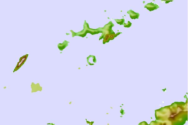

Use this relief map to navigate to tide stations, surf breaks and cities that are in the area of Foster, Antarctica.
Other Nearby Locations' tide tables and tide charts to Foster, Antarctica:
click location name for more details
 Surf breaks close to Foster, Antarctica:
|
||
|---|---|---|
| Closest surf break | Río Grande | 685 mi |
| Second closest surf break | Bertha's Beach | 769 mi |
| Third closest surf break | Surf Bay | 786 mi |
| Fourth closest surf break | Cow Bay | 803 mi |
| Fifth closest surf break | Elephant Beach | 804 mi |


 Nearest