
| Distance / Altitude | Location | Report Date / Time | Live Weather | Wind | Gusts | Temp. | Visibility | Cloud |
|---|---|---|---|---|---|---|---|---|
| 4 km W / 55 m | Freeport wx (United States) | 2026-04-10 17:05 local (2026/04/10 21:05 GMT) | dry | calm (2 km/h at 246) | 9°C | - | - - 0 | |
| 8 km SSW / 28 m | Yarmouth wx (United States) | 2026-04-10 19:04 local (2026/04/10 23:04 GMT) | dry | calm (2 km/h at 145) | 7°C | - | - - 0 | |
| 8 km N / 230 m | Durham (Maine) | 2026-04-10 19:38 local (2026/04/10 23:38 GMT) | dry | light winds from the SSW (8 km/h at 195) | 8°C | - | - - 0 | |
| 12 km S / 12 m | Chebeague Island (Maine) | 2026-04-10 19:34 local (2026/04/10 23:34 GMT) | dry | calm (3 km/h at 244) | 7°C | - | - - 0 | |
| 14 km ESE / 9 m | Dyer Cove wx (United States) | 2026-04-10 19:12 local (2026/04/10 23:12 GMT) | dry | calm (0 km/h at 270) | 8°C | - | - - 0 | |
| 15 km ESE / 42 m | Dyer Cove wx (United States) | 2026-04-10 19:02 local (2026/04/10 23:02 GMT) | dry | light winds from the SSW (8 km/h at 195) | 7°C | - | - - 0 | |
| 16 km N / 51 m | Durham (Maine) | 2026-04-10 19:20 local (2026/04/10 23:20 GMT) | dry | calm (0 km/h at 0) | 8°C | - | - - 0 | |
| 16 km NE / 45 m | Topsham (Maine) | 2026-04-10 19:06 local (2026/04/10 23:06 GMT) | dry | calm (0 km/h at 163) | 8°C | - | - - 0 | |
| 16 km ENE / 18 m | Brunswick wx (United States) | 2026-04-10 19:41 local (2026/04/10 23:41 GMT) | dry | - (- km/h at 303) | 8°C | - | - - 0 | |
| 17 km W / 110 m | Whites Corner wx (United States) | 2026-04-10 19:44 local (2026/04/10 23:44 GMT) | dry | calm (0 km/h at 239) | 9°C | - | - - 0 |
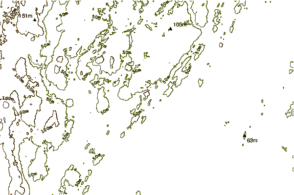
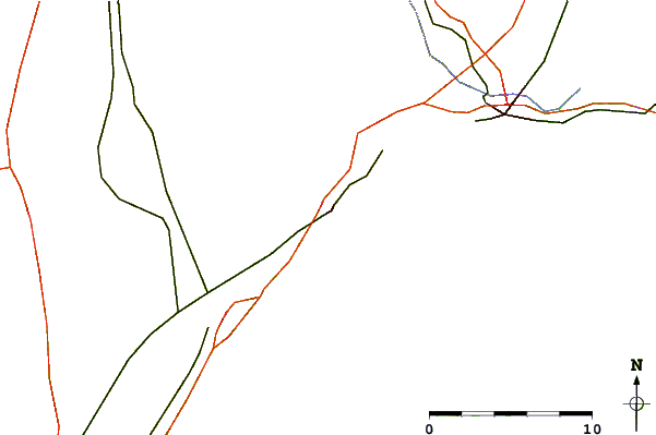
| Contours: | Roads & Rivers: | Select a
tide station / surf break / city |
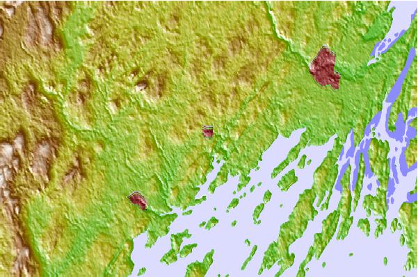
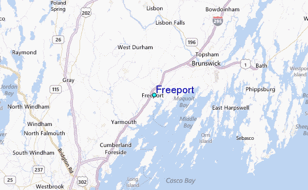
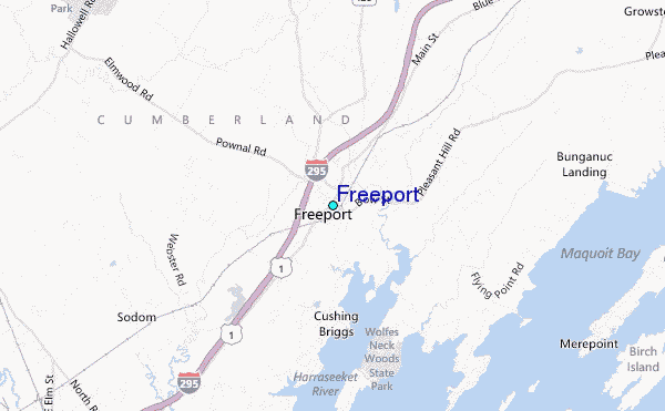
Use this relief map to navigate to tide stations, surf breaks and cities that are in the area of Freeport.
Other Nearby Locations' tide tables and tide charts to Freeport:
click location name for more details
 Surf breaks close to Freeport:
|
||
|---|---|---|
| Closest surf break | Trayhan's | 9 mi |
| Second closest surf break | Popham Read | 17 mi |
| Third closest surf break | Doc Browns | 21 mi |
| Fourth closest surf break | Two Lights | 21 mi |
| Fifth closest surf break | Higgins Beach | 22 mi |


 Nearest
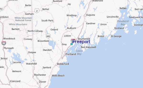