
| Distance / Altitude | Location | Report Date / Time | Live Weather | Wind | Gusts | Temp. | Visibility | Cloud |
|---|---|---|---|---|---|---|---|---|
| 14 km NNE / 273 m | Freetown/Lungi International Airport (Sierra Leone) | 2026-05-31 17:00 local (2026/05/31 17:00 GMT) | Dry and partly cloudy | wind obs. (46 kph from 1 degs) was rejected (- km/h at -) | 26°C | 10.0 | broken broken | |
| 126 km NW / 337 m | Conakry/Gbessia-Internationa Airport (Guinea-bissau) | 2026-05-31 18:00 local (2026/05/31 18:00 GMT) | - | light winds from the WSW (15 km/h at 240) | 30°C | 10.0 | few | |
| 178 km NW / 72 m | Kénendé wx (Guinea) | 2026-05-31 19:10 local (2026/05/31 19:10 GMT) | dry | wind obs. (6 kph from 316 degs) was rejected (- km/h at -) | 28°C | - | - - 0 | |
| 300 km SW / 15 m | SHIP5164 (Marine) | 2026-05-31 17:00 local (2026/05/31 17:00 GMT) | light winds from the SW (9.360000000000001 km/h at 220) | — | 8.1 km | |||
| 406 km SE / 414 m | Roberts International Airport/Monrovia (Liberia) | 2026-05-31 18:00 local (2026/05/31 18:00 GMT) | Dry and partly cloudy | light winds from the SSW (13 km/h at 200) | 28°C | 10.0 | broken few - | |
| 300 km SW / 3 m | SHIP356 (Marine) | 2026-05-31 17:00 local (2026/05/31 17:00 GMT) | light winds from the SW (9 km/h at 220) | 29°C | 9.3 | |||
| 300 km SW / 3 m | SHIP2081 (Marine) | 2026-05-31 17:00 local (2026/05/31 17:00 GMT) | light winds from the SW (9 km/h at 220) | 29°C | 9.3 | |||
| 300 km SW / 3 m | SHIP8283 (Marine) | 2026-05-31 17:00 local (2026/05/31 17:00 GMT) | light winds from the SW (9 km/h at 220) | 29°C | 9.3 | |||
| 300 km SW / 3 m | SHIP3050 (Marine) | 2026-05-31 17:00 local (2026/05/31 17:00 GMT) | light winds from the SW (9 km/h at 220) | 29°C | 9.3 | |||
| 300 km SW / 15 m | SHIP4273 (Marine) | 2026-05-31 17:00 local (2026/05/31 17:00 GMT) | light winds from the SW (9.360000000000001 km/h at 220) | — | 8.1 km |
| Contours: | Roads & Rivers: | Select a
tide station / surf break / city |
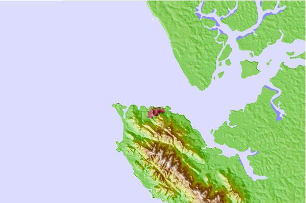
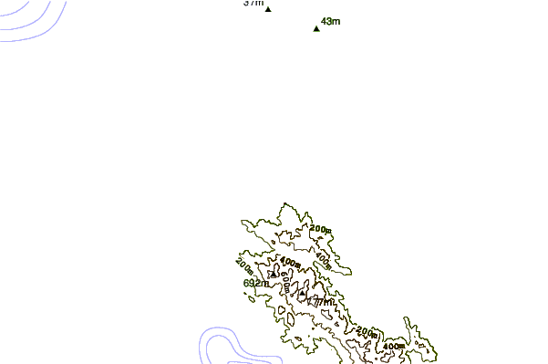
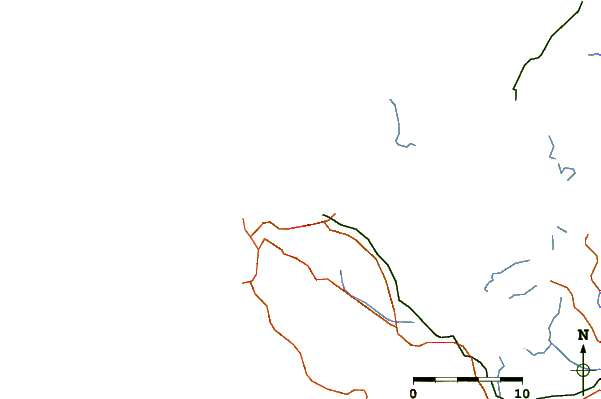
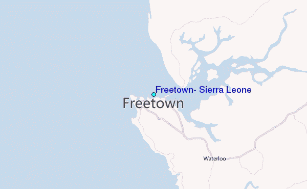
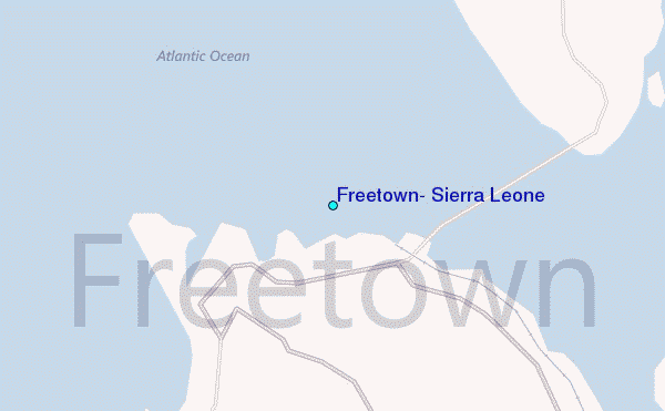
Use this relief map to navigate to tide stations, surf breaks and cities that are in the area of Freetown, Sierra Leone.
Other Nearby Locations' tide tables and tide charts to Freetown, Sierra Leone:
click location name for more details
 Surf breaks close to Freetown, Sierra Leone:
|
||
|---|---|---|
| Closest surf break | Aberdeen Area Beach | 4 mi |
| Second closest surf break | River No. 2 | 12 mi |
| Third closest surf break | Burreh Beach | 21 mi |
| Fourth closest surf break | Baki (Turtle Islands) | 62 mi |
| Fifth closest surf break | Baki (Turtle Islands) | 65 mi |


 Nearest
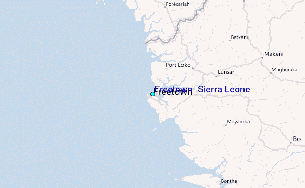