
| Distance / Altitude | Location | Report Date / Time | Live Weather | Wind | Gusts | Temp. | Visibility | Cloud |
|---|---|---|---|---|---|---|---|---|
| 14 km SW / 3 m | BUOY-TKEA2 (Marine) | 2026-04-03 17:02 local (2026/04/04 01:02 GMT) | light winds from the E (13 km/h at 90) | 5°C | - | |||
| 37 km N / 3 m | BUOY-RIXA2 (Marine) | 2026-04-03 17:02 local (2026/04/04 01:02 GMT) | fresh winds from the N (35 km/h at 350) | 2°C | - | |||
| 38 km WNW / 213 m | Hoonah Airport (Alaska) | 2026-04-03 16:21 local (2026/04/04 00:21 GMT) | Light rain | moderate winds from the ENE.(Wind varies from 020 to 090 degs) (20 km/h at 70) | 3°C | 16 | few overcast | |
| 44 km SSE / 3 m | BUOY-PCXA2 (Marine) | 2026-04-03 17:02 local (2026/04/04 01:02 GMT) | light winds from the SSE (18 km/h at 150) | 5°C | - | |||
| 46 km NNE / 3 m | BUOY-SCXA2 (Marine) | 2026-04-03 17:02 local (2026/04/04 01:02 GMT) | strong winds from the E (42 km/h at 100) | 4°C | - | |||
| 46 km N / 3 m | BUOY-NKXA2 (Marine) | 2026-04-03 17:02 local (2026/04/04 01:02 GMT) | moderate winds from the E (24 km/h at 80) | 5°C | - | |||
| 55 km NNE / 772 m | Eaglecrest Ptarmigan Top CW (United States of America) | 2026-04-03 16:10 local (2026/04/04 00:10 GMT) | - | - (- km/h at ) | -2°C | - | - - 0 | |
| 58 km NNE / 3 m | BUOY-PTLA2 (Marine) | 2026-04-03 17:02 local (2026/04/04 01:02 GMT) | light winds from the NW (13 km/h at 320) | 2°C | - | |||
| 59 km NE / 3 m | BUOY-MRNA2 (Marine) | 2026-04-03 17:02 local (2026/04/04 01:02 GMT) | calm (4 km/h at 90) | 4°C | - | |||
| 60 km NE / 3 m | BUOY-PAXA2 (Marine) | 2026-04-03 17:02 local (2026/04/04 01:02 GMT) | light winds from the ENE (13 km/h at 60) | 2°C | - |
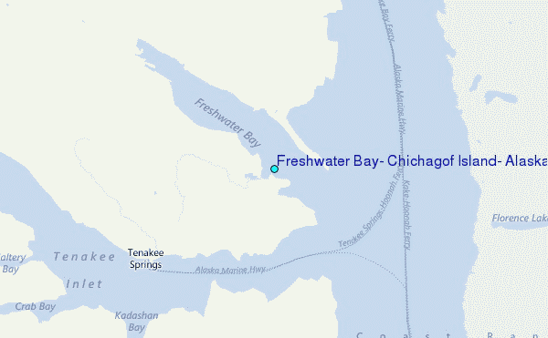
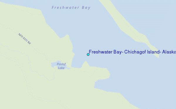
Choose Freshwater Bay, Chichagof Island, Alaska Location Map Zoom:
| Contours: | Roads & Rivers: | Select a
tide station / surf break / city |
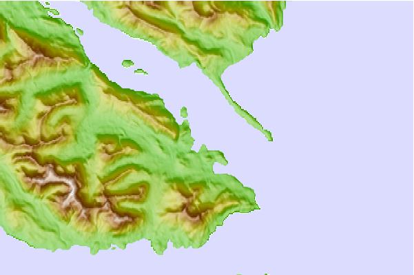
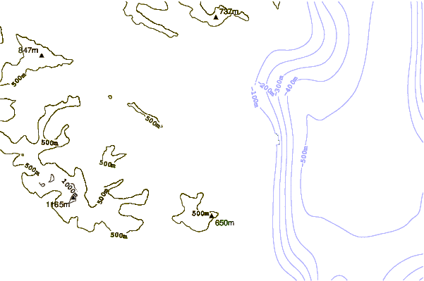
Use this relief map to navigate to tide stations, surf breaks and cities that are in the area of Freshwater Bay, Chichagof Island, Alaska.
Other Nearby Locations' tide tables and tide charts to Freshwater Bay, Chichagof Island, Alaska:
click location name for more details
 Surf breaks close to Freshwater Bay, Chichagof Island, Alaska:
|
||
|---|---|---|
| Closest surf break | Cannon Beach | 205 mi |
| Second closest surf break | Graveyards | 208 mi |
| Third closest surf break | Ocean Cape | 210 mi |
| Fourth closest surf break | Lepus Beach (Haida-Gwaii) | 266 mi |
| Fifth closest surf break | Tow Hill Beach | 289 mi |


 Nearest
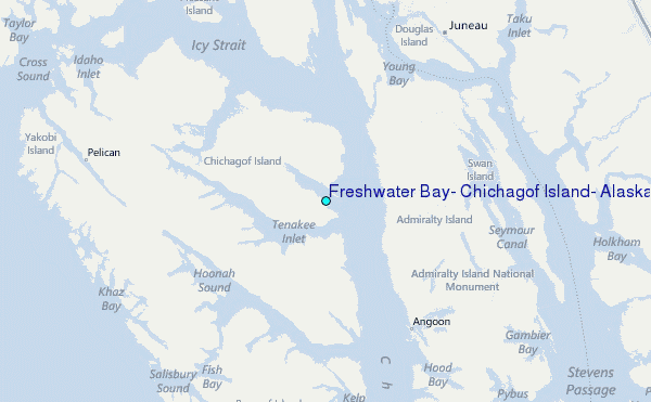