
| Distance / Altitude | Location | Report Date / Time | Live Weather | Wind | Gusts | Temp. | Visibility | Cloud |
|---|---|---|---|---|---|---|---|---|
| 0 km S / 15 m | GaboIslandLighthouse (Australia) | 2026-06-01 02:00 local (2026/05/31 16:00 GMT) | - | light winds from the WNW (19 km/h at 290) | 11°C | - | no observation | |
| 17 km SW / 480 m | Mallacoota Automatic Weather Station (Australia) | 2026-06-01 01:00 local (2026/05/31 15:00 GMT) | no report | light winds from the WNW (11 km/h at 290) | 8°C | - | - | |
| 17 km SW / 480 m | Mallacoota (Australia) | 2026-06-01 01:00 local (2026/05/31 15:00 GMT) | no report | light winds from the WNW (11 km/h at 290) | 8°C | - | - no observation - | |
| 36 km NNE / 20 m | Green Cape Aws (Australia) | 2026-06-01 02:00 local (2026/05/31 16:00 GMT) | no report | light winds from the NW (11 km/h at 310) | 11°C | - | - no observation - | |
| 73 km N / 2 m | Merimbula Airport Aws (Australia) | 2026-06-01 02:00 local (2026/05/31 16:00 GMT) | no report | light winds from the NNW (7 km/h at 340) | 8°C | - | - no observation - | |
| 84 km W / 640 m | Combienbar (Australia) | 2026-06-01 02:00 local (2026/05/31 16:00 GMT) | no report | wind obs. (7 kph from 250 degs) was rejected (- km/h at -) | 7°C | - | - no observation - | |
| 87 km WNW / 762 m | Bombala Aws Automatic Weather Station (Australia) | 2026-06-01 02:00 local (2026/05/31 16:00 GMT) | no report | light winds from the NNW (15 km/h at 330) | 2°C | - | - no observation - | |
| 101 km N / 41 m | Bega (Australia) | 2026-06-01 02:00 local (2026/05/31 16:00 GMT) | no report | calm (0 km/h at 0) | 5°C | - | - no observation - | |
| 129 km WSW / 240 m | Orbost (Australia) | 2026-06-01 01:00 local (2026/05/31 15:00 GMT) | no report | wind obs. (7 kph from 360 degs) was rejected (- km/h at -) | 7°C | - | - | |
| 149 km N / 54 m | MontagueIslandLighhouse (Australia) | 2026-06-01 02:00 local (2026/05/31 16:00 GMT) | no report | fresh winds from the W (31 km/h at 270) | 12°C | - | - no observation - |
| Contours: | Roads & Rivers: | Select a
tide station / surf break / city |
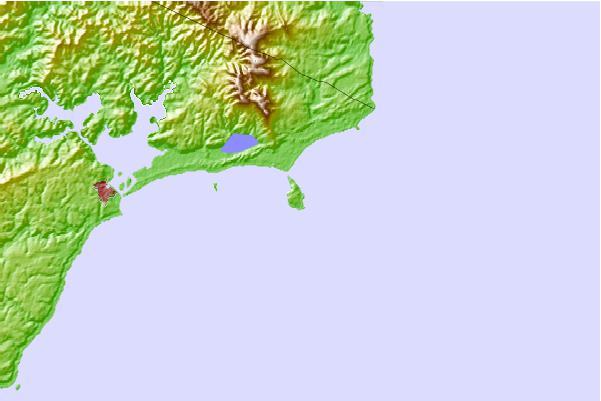
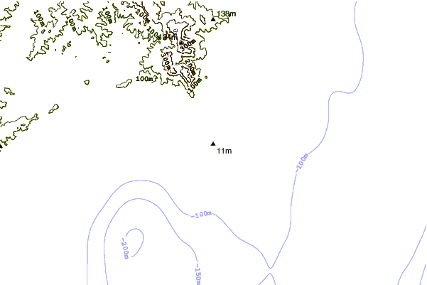
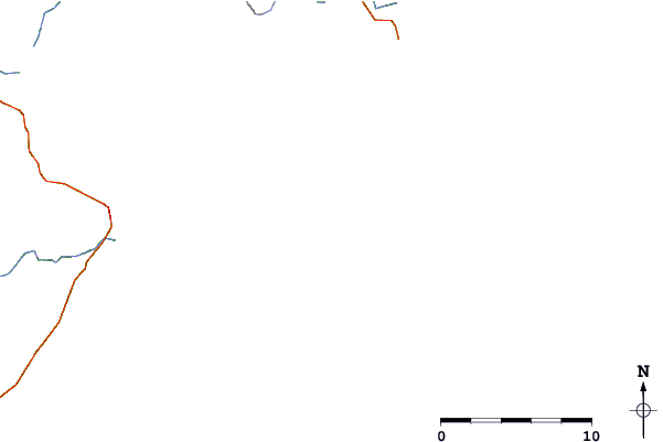
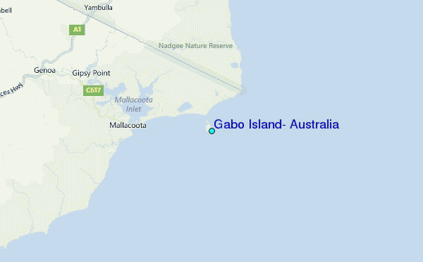
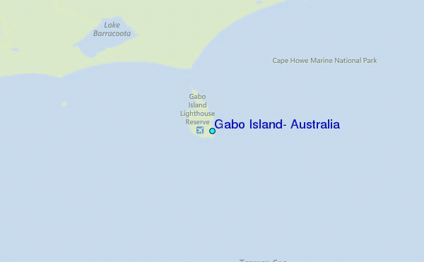
Use this relief map to navigate to tide stations, surf breaks and cities that are in the area of Gabo Island, Australia.
Other Nearby Locations' tide tables and tide charts to Gabo Island, Australia:
click location name for more details
 Surf breaks close to Gabo Island, Australia:
|
||
|---|---|---|
| Closest surf break | Mallacoota | 8 mi |
| Second closest surf break | Tip Beach | 9 mi |
| Third closest surf break | Saltwater | 28 mi |
| Fourth closest surf break | Asling's Beach | 35 mi |
| Fifth closest surf break | Aisling's Beach | 36 mi |


 Nearest
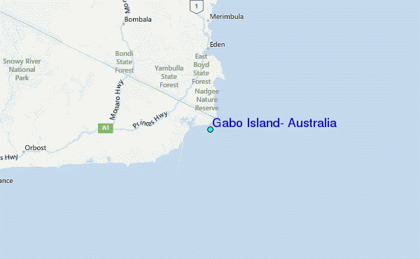