
| Distance / Altitude | Location | Report Date / Time | Live Weather | Wind | Gusts | Temp. | Visibility | Cloud |
|---|---|---|---|---|---|---|---|---|
| 1 km WNW / 3 m | BUOY-GNJT2 (Marine) | 2026-05-01 09:00 local (2026/05/01 14:00 GMT) | fresh winds from the ENE (35 km/h at 60) | 20°C | - | |||
| 8 km SSW / 3 m | BUOY-GTOT2 (Marine) | 2026-05-01 09:00 local (2026/05/01 14:00 GMT) | moderate winds from the NE (21 km/h at 50) | 20°C | - | |||
| 16 km W / 0 m | lightning 5km NE of Texas City (United States) | 2026-05-01 07:05 local (2026/05/01 12:05 GMT) | Thunderstorm | (- km/h at -) | — | |||
| 17 km SSW / 217 m | Galveston Airport (Texas) | 2026-05-01 08:15 local (2026/05/01 13:15 GMT) | Dry and cloudy | moderate winds from the NE (24 km/h at 40) | 20°C | 16 | few broken overcast | |
| 18 km SW / 3 m | BUOY-GRRT2 (Marine) | 2026-05-01 09:00 local (2026/05/01 14:00 GMT) | fresh winds from the NNE (37 km/h at 20) | 21°C | - | |||
| 23 km WNW / 3 m | BUOY-EPTT2 (Marine) | 2026-05-01 09:00 local (2026/05/01 14:00 GMT) | fresh winds from the NNE (32 km/h at 30) | 26°C | - | |||
| 28 km NE / 3 m | BUOY-RLOT2 (Marine) | 2026-05-01 09:00 local (2026/05/01 14:00 GMT) | moderate winds from the N (26 km/h at 10) | 19°C | - | |||
| 29 km NW / 0 m | lightning 8km SE of Beach City (United States) | 2026-05-01 07:35 local (2026/05/01 12:35 GMT) | Thunderstorm | (- km/h at -) | — | |||
| 30 km WSW / 4 m | lightning 4km SSW of Hitchcock (United States) | 2026-05-01 07:35 local (2026/05/01 12:35 GMT) | Thunderstorm | (- km/h at -) | — | |||
| 30 km S / 0 m | lightning 20km SSW of Galveston (United States) | 2026-05-01 09:46 local (2026/05/01 14:46 GMT) | Thunderstorm | (- km/h at -) | — |
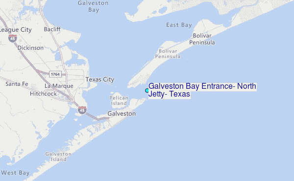
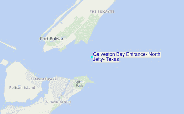
Choose Galveston Bay Entrance, North Jetty, Texas Location Map Zoom:
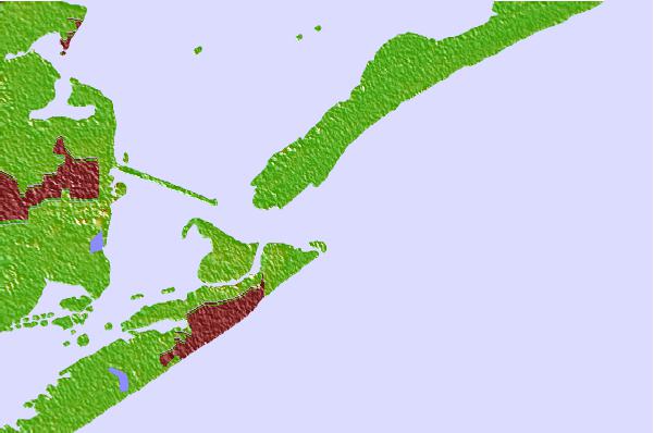
| Contours: | Roads & Rivers: | Select a
tide station / surf break / city |
Use this relief map to navigate to tide stations, surf breaks and cities that are in the area of Galveston Bay Entrance, North Jetty, Texas.
Other Nearby Locations' tide tables and tide charts to Galveston Bay Entrance, North Jetty, Texas:
click location name for more details
 Surf breaks close to Galveston Bay Entrance, North Jetty, Texas:
|
||
|---|---|---|
| Closest surf break | Meacom Pier | 1 mi |
| Second closest surf break | Galveston - Flagship Pier | 4 mi |
| Third closest surf break | Galveston | 4 mi |
| Fourth closest surf break | Galveston-61st Street Pier | 5 mi |
| Fifth closest surf break | Bolivar | 19 mi |


 Nearest
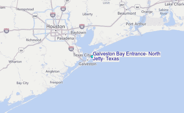