
| Distance / Altitude | Location | Report Date / Time | Live Weather | Wind | Gusts | Temp. | Visibility | Cloud |
|---|---|---|---|---|---|---|---|---|
| 124 km NE / 46 m | Bhubaneswar Airport (India) | 2026-04-20 06:00 local (2026/04/20 00:30 GMT) | Haze - | light winds from the SW (7 km/h at 220) | 28°C | 4.0 | scattered broken | |
| 269 km SSW / 5 m | Visakhapatnam Airport (India) | 2026-04-20 06:00 local (2026/04/20 00:30 GMT) | Mist - | light winds from the SW (7 km/h at 230) | 27°C | 4.0 | scattered scattered | |
| 397 km NNE / 142 m | Jamshedpur Airport (India) | 2026-04-20 05:30 local (2026/04/20 00:00 GMT) | Haze - | calm (0 km/h at 0) | 27°C | 2.5 | few - - | |
| 401 km W / 317 m | Swami Vivekananda Airport (Raipur Airport) (India) | 2026-04-20 06:00 local (2026/04/20 00:30 GMT) | Haze - | light winds from the SW (15 km/h at 220) | 29°C | 3.0 | scattered | |
| 425 km SSW / 46 m | Rajahmundry Airport (India) | 2026-04-20 06:00 local (2026/04/20 00:30 GMT) | Mist - | calm (0 km/h at 0) | 26°C | 4.0 | scattered | |
| 436 km N / 652 m | Ranchi Airport (India) | 2026-04-20 04:30 local (2026/04/19 23:00 GMT) | Haze - | light winds from the WSW (15 km/h at 240) | 27°C | 3.5 | few scattered | |
| 436 km N / 652 m | Ranchi (India) | 2026-04-20 06:00 local (2026/04/20 00:30 GMT) | Haze - | light winds from the WSW (17 km/h at 250) | 27°C | 3.5 | few scattered | |
| 503 km NE / 216 m | Calcutta/Dum Dum Airport (India) | 2026-04-20 06:00 local (2026/04/20 00:30 GMT) | Haze - | light winds from the S (11 km/h at 170) | 27°C | 3.5 | few | |
| 520 km NNE / 92 m | Kazi Nazrul Islam Airport (India) | 2026-04-20 06:00 local (2026/04/20 00:30 GMT) | Fog - | light winds from the SSE (6 km/h at 160) | 26°C | 0.3 | few scattered | |
| 554 km SSW / 24 m | Vijayawada Airport (India) | 2026-04-20 06:00 local (2026/04/20 00:30 GMT) | Dry and partly cloudy | light winds from the W (6 km/h at 270) | 28°C | 6.0 | scattered scattered |
| Contours: | Roads & Rivers: | Select a
tide station / surf break / city |
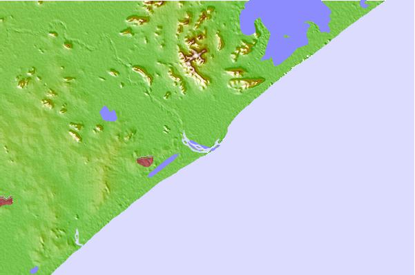
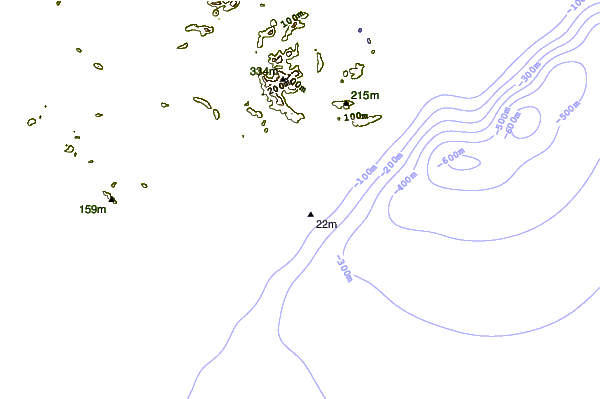
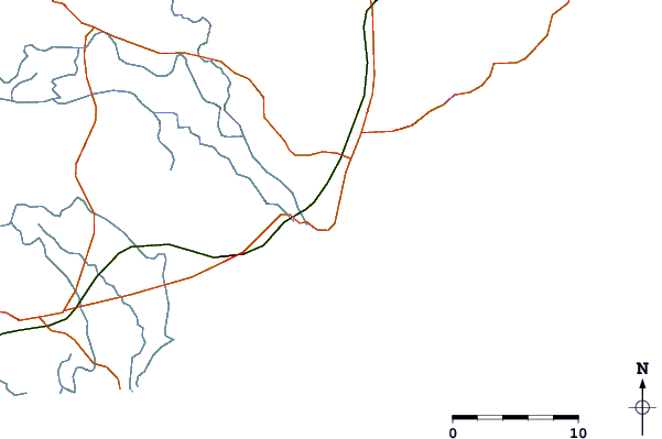
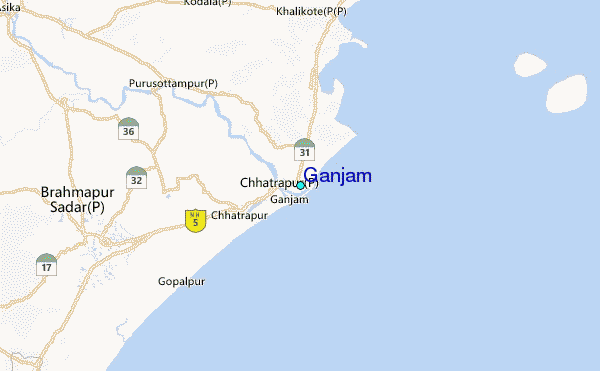
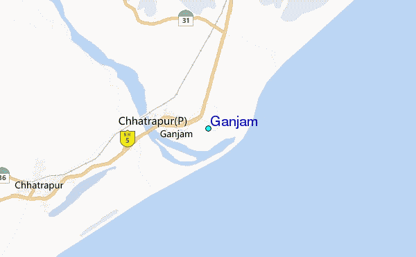
Use this relief map to navigate to tide stations, surf breaks and cities that are in the area of Ganjam.
Other Nearby Locations' tide tables and tide charts to Ganjam:
click location name for more details
 Surf breaks close to Ganjam:
|
||
|---|---|---|
| Closest surf break | Puri Beach | 57 mi |
| Second closest surf break | Konada Bar | 136 mi |
| Third closest surf break | Miracle Point | 138 mi |
| Fourth closest surf break | Thotlakonda Point | 152 mi |
| Fifth closest surf break | Hanuman Point (Tenneti Park) | 160 mi |


 Nearest
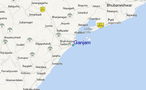