
| Distance / Altitude | Location | Report Date / Time | Live Weather | Wind | Gusts | Temp. | Visibility | Cloud |
|---|---|---|---|---|---|---|---|---|
| 16 km E / 5 m | Crescent City (Florida) | 2026-07-27 13:27 local (2026/07/27 17:27 GMT) | light rain | light winds from the WNW (13 km/h at 287) | 26°C | - | - - 0 | |
| 21 km SE / 6 m | lightning 5km WSW of Pierson (United States) | 2026-07-27 14:01 local (2026/07/27 18:01 GMT) | Thunderstorm | (- km/h at -) | — | |||
| 27 km NE / 16 m | lightning 16km N of Crescent City (United States) | 2026-07-27 13:34 local (2026/07/27 17:34 GMT) | Thunderstorm | (- km/h at -) | — | |||
| 31 km NW / 24 m | Hollister wx (United States) | 2026-07-27 14:13 local (2026/07/27 18:13 GMT) | dry | calm (5 km/h at 228) | 33°C | - | - - 0 | |
| 32 km N / 15 m | Palatka Municipal Airport (Florida) (Florida) | 2026-07-27 13:15 local (2026/07/27 17:15 GMT) | Thunderstorm - in the vicinity | light winds from the SW (7 km/h at 220) | — | 14 | ||
| 32 km SSE / 13 m | Powells Campground Mobile Home Park wx (United States) | 2026-07-27 14:00 local (2026/07/27 18:00 GMT) | dry | wind obs. (8 kph from 45 degs) was rejected (- km/h at -) | 28°C | - | - - 0 | |
| 33 km NW / 21 m | lightning 12km NE of Interlachen (United States) | 2026-07-27 12:16 local (2026/07/27 16:16 GMT) | Thunderstorm | (- km/h at -) | — | |||
| 36 km NW / 17 m | lightning 13km WNW of Palatka (United States) | 2026-07-27 14:32 local (2026/07/27 18:32 GMT) | Thunderstorm | (- km/h at -) | — | |||
| 39 km SSE / 16 m | lightning 12km SE of Astor (United States) | 2026-07-27 14:18 local (2026/07/27 18:18 GMT) | Thunderstorm | (- km/h at -) | — | |||
| 39 km E / 12 m | lightning 4km SE of Bunnell (United States) | 2026-07-27 14:16 local (2026/07/27 18:16 GMT) | Thunderstorm | (- km/h at -) | — |
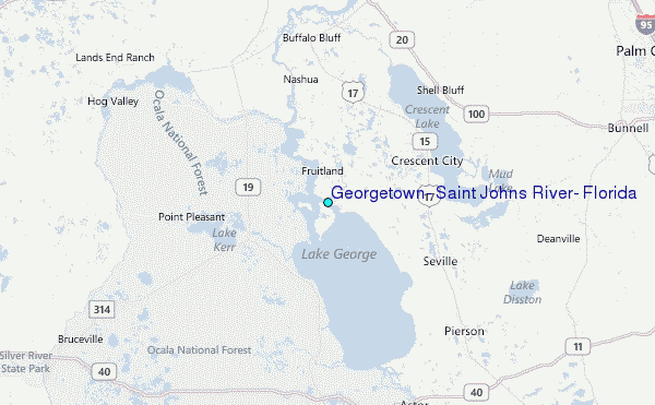
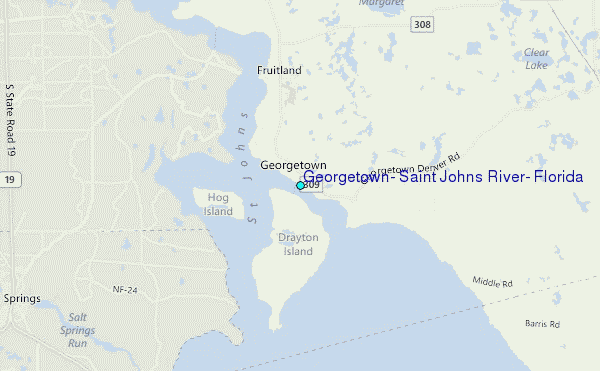
Choose Georgetown, Saint Johns River, Florida Location Map Zoom:
| Contours: | Roads & Rivers: | Select a
tide station / surf break / city |
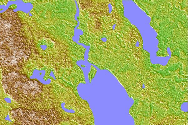
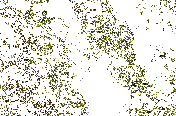
Use this relief map to navigate to tide stations, surf breaks and cities that are in the area of Georgetown, Saint Johns River, Florida.
Other Nearby Locations' tide tables and tide charts to Georgetown, Saint Johns River, Florida:
click location name for more details
 Surf breaks close to Georgetown, Saint Johns River, Florida:
|
||
|---|---|---|
| Closest surf break | Painter s Hill | 31 mi |
| Second closest surf break | Flagler | 32 mi |
| Third closest surf break | Matanzas Inlet | 33 mi |
| Fourth closest surf break | Peanuts | 34 mi |
| Fifth closest surf break | Bicentenial Park | 35 mi |


 Nearest
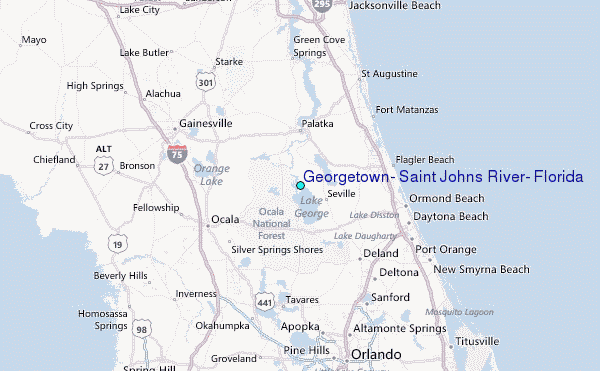