
| Distance / Altitude | Location | Report Date / Time | Live Weather | Wind | Gusts | Temp. | Visibility | Cloud |
|---|---|---|---|---|---|---|---|---|
| 33 km SSW / 27 m | Winter Harbor-SERC (Maine) | 2026-03-05 06:37 local (2026/03/05 11:37 GMT) | - | moderate winds from the NE (23 km/h at 43) | -1°C | - | - - 0 | |
| 39 km SW / 3 m | BUOY-ATGM1 (Marine) | 2026-03-05 06:00 local (2026/03/05 11:00 GMT) | calm (4 km/h at 120) | 0°C | - | |||
| 40 km SW / 70 m | Bar Harbor (Maine) | 2026-03-05 06:32 local (2026/03/05 11:32 GMT) | - | calm (0 km/h at 0) | — | - | - - 0 | |
| 40 km WSW / 3 m | Lamoine (Maine) | 2026-03-05 06:00 local (2026/03/05 11:00 GMT) | - | light winds from the N (8 km/h at 8) | -2°C | - | - - 0 | |
| 46 km SE / - m | SHIP300 (ocean) | 2026-03-05 04:00 local (2026/03/05 09:00 GMT) | - | light winds from the W (7 km/h at 270) | — | - | no observation | |
| 46 km SE / - m | SHIP1147 (ocean) | 2026-03-05 05:00 local (2026/03/05 10:00 GMT) | - | light winds from the NW (7 km/h at 310) | — | - | no observation | |
| 46 km SE / - m | SHIP1198 (ocean) | 2026-03-05 05:00 local (2026/03/05 10:00 GMT) | - | light winds from the NW (7 km/h at 310) | — | - | no observation | |
| 46 km SE / - m | SHIP623 (ocean) | 2026-03-05 06:00 local (2026/03/05 11:00 GMT) | - | fresh winds from the NNE (32 km/h at 20) | — | - | no observation | |
| 46 km SE / - m | SHIP1328 (ocean) | 2026-03-05 06:00 local (2026/03/05 11:00 GMT) | - | fresh winds from the NNE (32 km/h at 20) | — | - | no observation | |
| 46 km SE / - m | SHIP389 (ocean) | 2026-03-05 06:00 local (2026/03/05 11:00 GMT) | - | fresh winds from the NNE (32 km/h at 20) | — | - | no observation |
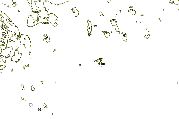
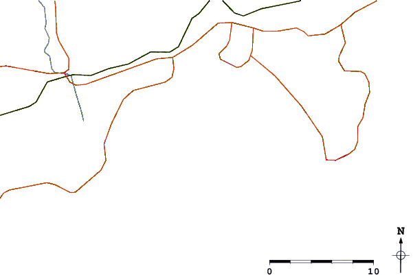
| Contours: | Roads & Rivers: | Select a
tide station / surf break / city |
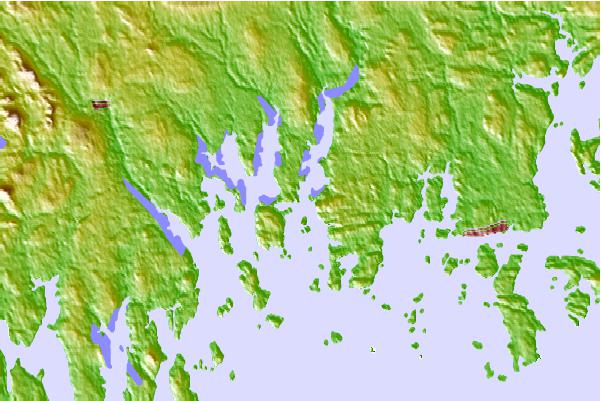
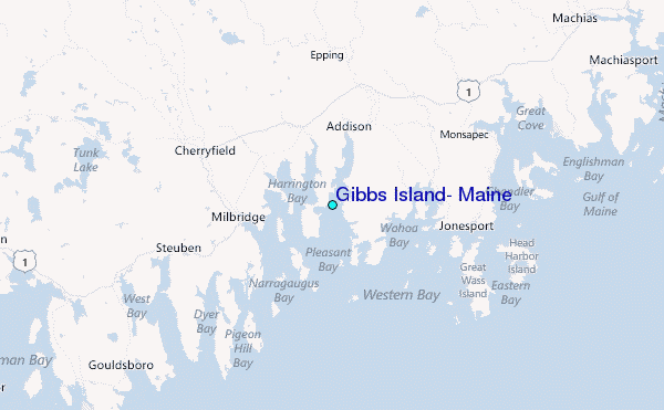
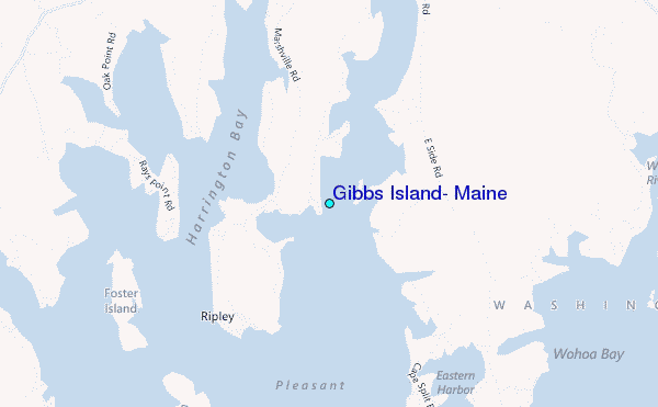
Use this relief map to navigate to tide stations, surf breaks and cities that are in the area of Gibbs Island, Maine.
Other Nearby Locations' tide tables and tide charts to Gibbs Island, Maine:
click location name for more details
 Surf breaks close to Gibbs Island, Maine:
|
||
|---|---|---|
| Closest surf break | Popham Read | 116 mi |
| Second closest surf break | Trayhan's | 123 mi |
| Third closest surf break | Two Lights | 139 mi |
| Fourth closest surf break | Doc Browns | 140 mi |
| Fifth closest surf break | Higgins Beach | 142 mi |


 Nearest
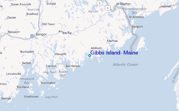