
| Distance / Altitude | Location | Report Date / Time | Live Weather | Wind | Gusts | Temp. | Visibility | Cloud |
|---|---|---|---|---|---|---|---|---|
| 18 km SW / 3 m | BUOY-SXXA2 (Marine) | 2026-04-03 19:32 local (2026/04/04 03:32 GMT) | light winds from the ENE (8 km/h at 60) | 5°C | - | |||
| 20 km SW / 3 m | BUOY-SLXA2 (Marine) | 2026-04-03 19:32 local (2026/04/04 03:32 GMT) | light winds from the SSW (8 km/h at 200) | 6°C | - | |||
| 20 km SW / 3 m | BUOY-KECA2 (Marine) | 2026-04-03 19:18 local (2026/04/04 03:18 GMT) | light winds from the E (11 km/h at 100) | — | - | |||
| 20 km SSW / 1 m | Mountain Point wx (United States) | 2026-04-03 19:23 local (2026/04/04 03:23 GMT) | dry | wind obs. (6 kph from 147 degs) was rejected (- km/h at -) | 4°C | - | - - 0 | |
| 22 km WSW / 3 m | BUOY-KEXA2 (Marine) | 2026-04-03 19:32 local (2026/04/04 03:32 GMT) | light winds from the ESE (9 km/h at 120) | — | - | |||
| 23 km WSW / 15 m | SHIP4264 (Marine) | 2026-04-03 18:00 local (2026/04/04 02:00 GMT) | light winds from the E (9.360000000000001 km/h at 100) | — | - km | |||
| 23 km WSW / 3 m | SHIP2940 (Marine) | 2026-04-03 17:00 local (2026/04/04 01:00 GMT) | light winds from the S (11 km/h at 180) | 5°C | - | |||
| 23 km WSW / 15 m | SHIP4118 (Marine) | 2026-04-03 17:00 local (2026/04/04 01:00 GMT) | light winds from the S (11.16 km/h at 180) | — | - km | |||
| 23 km WSW / - m | SHIP364 (ocean) | 2026-04-03 19:00 local (2026/04/04 03:00 GMT) | - | light winds from the E (11 km/h at 90) | 5°C | - | no observation | |
| 23 km WSW / 3 m | SHIP4495 (Marine) | 2026-04-03 17:00 local (2026/04/04 01:00 GMT) | light winds from the S (11 km/h at 180) | 5°C | - |
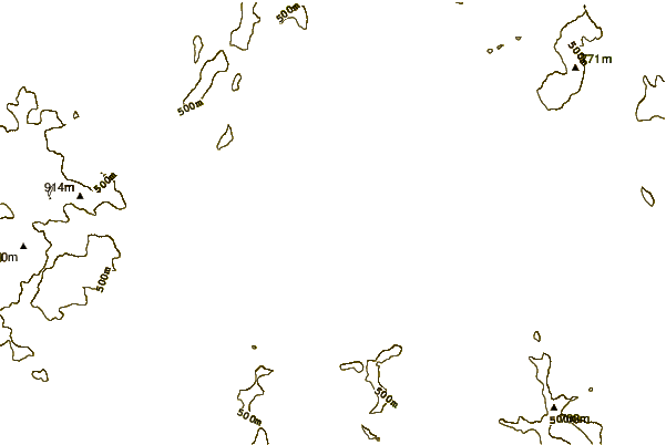
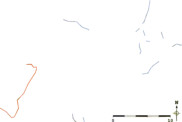
| Contours: | Roads & Rivers: | Select a
tide station / surf break / city |
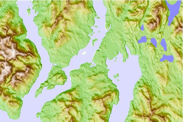
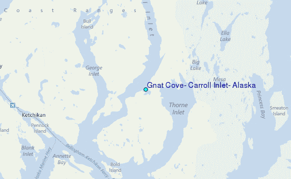
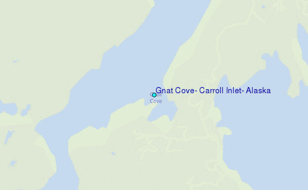
Use this relief map to navigate to tide stations, surf breaks and cities that are in the area of Gnat Cove, Carroll Inlet, Alaska.
Other Nearby Locations' tide tables and tide charts to Gnat Cove, Carroll Inlet, Alaska:
click location name for more details
 Surf breaks close to Gnat Cove, Carroll Inlet, Alaska:
|
||
|---|---|---|
| Closest surf break | Tow Hill Beach | 92 mi |
| Second closest surf break | Lepus Beach (Haida-Gwaii) | 108 mi |
| Third closest surf break | Cannon Beach | 423 mi |
| Fourth closest surf break | Graveyards | 426 mi |
| Fifth closest surf break | Ocean Cape | 428 mi |


 Nearest
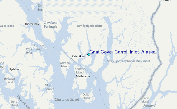